U.S. Geological Survey 3D Elevation Program
« Return to Project Search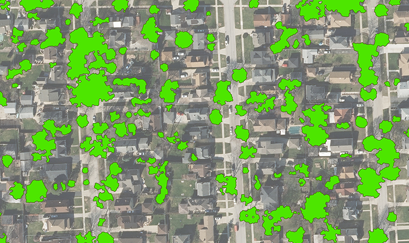

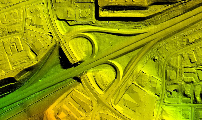
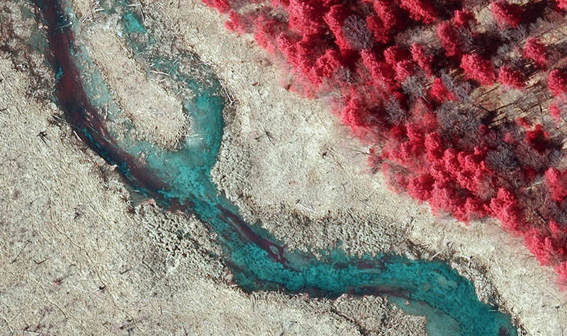
Accurate, up-to-date elevation data is critical for all levels of government. Lidar (light detection and ranging) has become the best method to collect this data over wide areas, but the cost can be restrictive. In 2015, Ayres worked with many Wisconsin counties and the Coastal Management Program to coordinate a grant application for lidar data to meet the U.S. Geological Survey 3DEP QL2 Lidar Base Specifications.
Exemplifying the value of 3D elevation data is Buffalo County, which has put its lidar data to use in a multitude of ways:
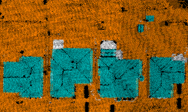
Build digital terrain models (DTMs) in Civil 3D for the Highway Department.
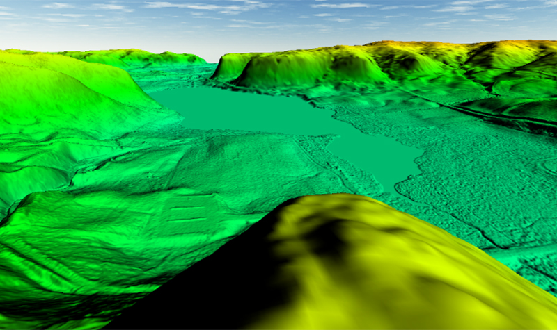
Provide 3D hydrologic modeling.
Plan field work.
Collect information on culverts.
Determine high-risk areas of nutrient loading.
Locate areas of high erosion potential.
File Letters of Map Amendment (LOMAs).
Validate volumes of gravel piles.
Aid emergency management action planning.
Map recreational and forestry trails.
Provide slope analysis for zoning and drainage.
Reduce costs in highway design and rebuilding.
Determine Federal Aviation Administration height restriction compliance.
The County received several datasets from this program, including a classified point cloud, hydro breaklines, 1-foot contours, a digital elevation model, a digital surface model, intensity imagery, and several other custom datasets.
Ayres works continuously to educate counties on the benefits of lidar, the uses for the data, and available funding. We have coordinated the Wisconsin 3DEP grant application each year since 2015. To date we have helped bring over $2 million to 18 counties in Wisconsin, and additional funding has come from the Federal Emergency Management Agency and others.
Although floodplain mapping remains a primary way to apply lidar data, counties have learned to use the data for much more.
Project Information
Client's NameBuffalo County
LocationBuffalo County, WI
Primary ServiceGeospatial
MarketLocal Government