Menominee County Orthos, Lidar, and Remote Sensing
« Return to Project Search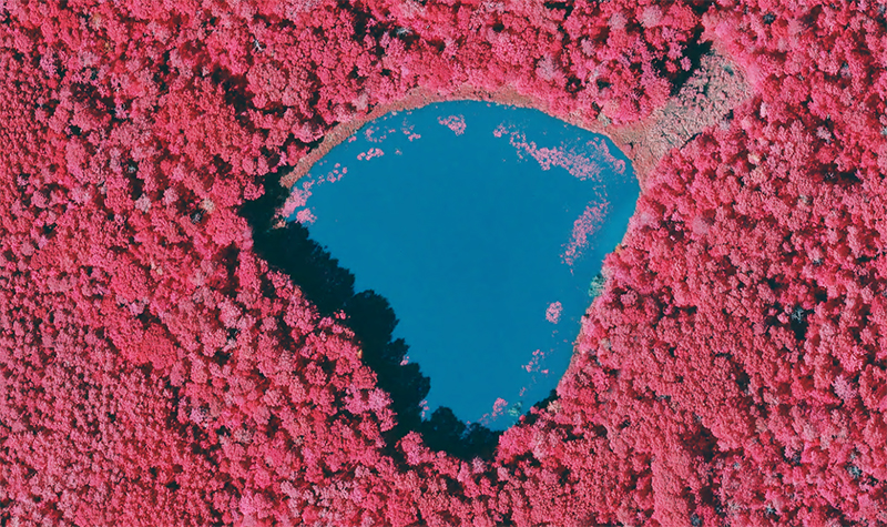
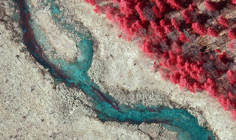
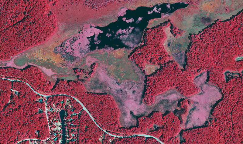
Menominee Tribal Enterprises selected Ayres to acquire and process lidar (light detection and ranging) and orthoimagery across Menominee County in 2015 as part of the Wisconsin Regional Orthophotography Consortium program, including using remote sensing to document and analyze the regeneration of a 21-mile-long, 2,200-acre area of forest destroyed by a tornado in 2007.
The remote sensing completed over the forest area involved collecting visible and near-infrared wavelength data from an airplane. Data was collected at carefully timed intervals when specific tree species would be most easily identified, such as in late fall to pick up aspens’ peak fall colors and in mid-spring to capture pin cherries at their peak bloom.
Our team acquired lidar data and aerial imagery in spring 2015 during leaf-off, no-snow conditions. Ayres processed a 2-foot contour surface for the entire County using lidar technology. Hydro-reinforced breaklines were compiled, with additional breaklines compiled as necessary to develop surfaces meeting the required ASPRS Class 2 accuracy standards. Ayres performed NSSDA statistical accuracy tests as required for Federal Emergency Management Agency compliance. The tests entailed GPS survey of independent checkpoints throughout the lidar project area. The aerial imagery was processed to 6 inch orthos, using the lidar digital elevation model to meet ASPRS Class 2 horizontal accuracy specifications.
This is the first time a private enterprise took the lead on a countywide WROC project. The scope of this work is significant and has never been done in Menominee County. Ayres staff worked with Menominee Tribal Enterprises to retain partnerships from the County and the Menominee Tribe to help share some of the cost of this project and to share the resulting data.
Project Information
Client's NameMenominee Tribal Enterprises
LocationMenomimee County, WI
Primary ServiceGeospatial
MarketState + Federal + Tribal


