Wyoming Military Camp Guernsey Boundary
« Return to Project Search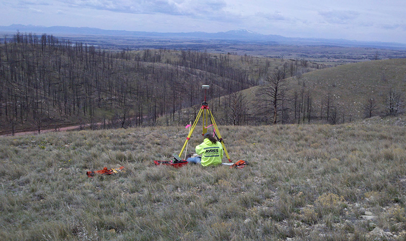

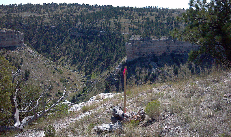
Property acquisitions and plans for expanded land use led the Wyoming Military Department (WYMD) to retain Ayres for survey services to determine the boundaries of Camp Guernsey Northern Training Area near Guernsey. Tracing the approximately 65 miles of boundary was complicated by often rugged terrain, harsh weather, deteriorated or missing survey markers, and highly inaccurate survey records from the late 1800s. In areas of discrepancy, crew members reviewed the original survey notes, located evidence of the earlier work, and made corrections where possible.
Survey mapping and final plat submittals were provided in electronic format using 1,000 meter GRID, UTM 13, and spheroid WGS 1984 in ArcGIS Version 9.3 and AutoCAD 2010 or newer. Corners were set by pin and/or monuments appropriate to the terrain and the risk of the marker. Ayres recommended placement of three elevation benchmarks and five horizontal control points within the surveyed area.
Ayres set up individual meetings with property owners as dictated by field activity and provided public contact throughout the project. Ayres advised the WYMD Real Property Division of any landowner discrepancies or irregularities, and the agency then recommended steps to resolve the discrepancy. Representatives of the WYMD credited the project’s success in part to efficient communication and coordination between Ayres and the WYMD.
Project Information
Client's NameState of Wyoming
LocationGuernsey, WY
Primary ServiceGeospatial
MarketState + Federal + Tribal