Appleton 3-Inch Orthoimagery
« Return to Project Search
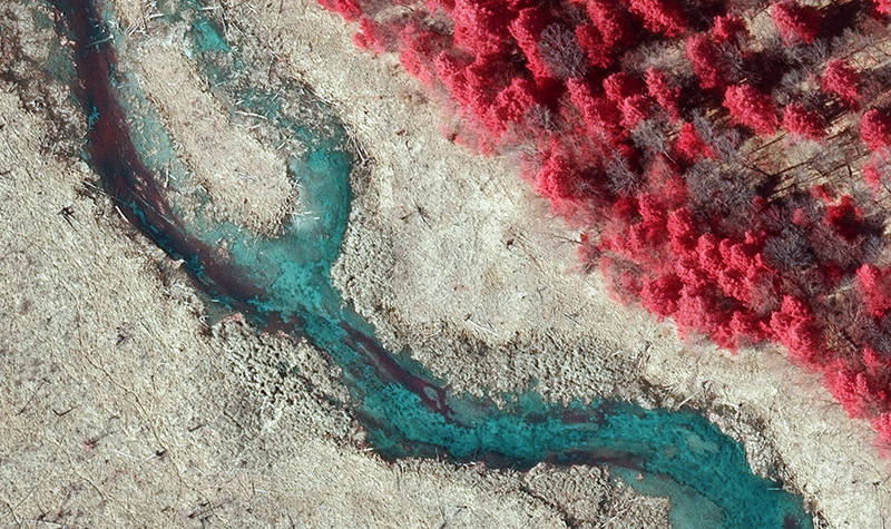
The City of Appleton contracted with Ayres to provide citywide aerial imagery acquisition and orthoimagery processing services in 2017, covering approximately 45 square miles. The orthoimagery was produced to meet stringent ASPRS Class 1 accuracy standards for use in the City’s engineering, planning, and GIS departments. Ayres acquired the aerial imagery in spring 2017 during leaf-off, snow-free conditions. The imagery was processed to 3-inch orthos within 90 days after the flight.
Project Information
Client's NameCity of Appleton
LocationAppleton, WI
Primary ServiceGeospatial
MarketLocal Government