Northern Colorado Geospatial Consortium
« Return to Project Search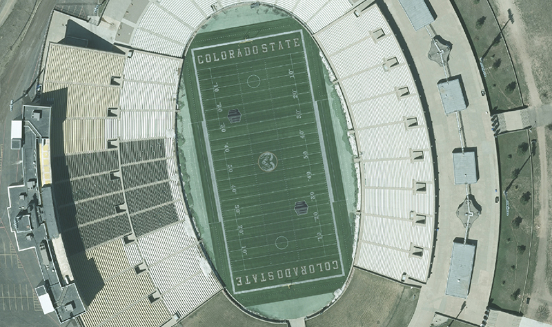

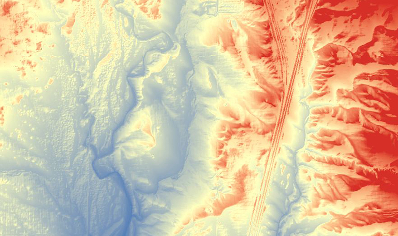
In 2013 Larimer County, Colorado State University, and the Cities of Fort Collins and Loveland joined forces to establish the Northern Colorado Geospatial Consortium to facilitate the collection of high-accuracy light detection and ranging (lidar) and imagery.
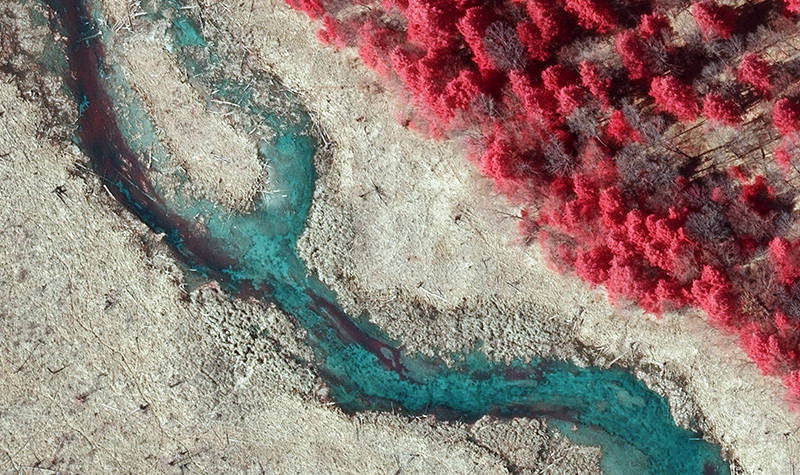
Valuable geospatial information doesn’t always conform to political or jurisdictional boundaries, and the new mapping and imagery provides contiguous and consistent data sets across multiple jurisdictions, totaling approximately 235 square miles. The consortium approach allows participants to take advantage of collective buying power and cost savings through an evenly distributed unit pricing schedule.
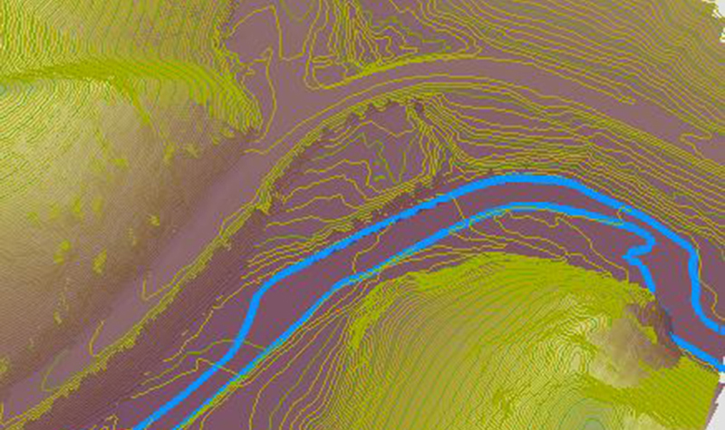
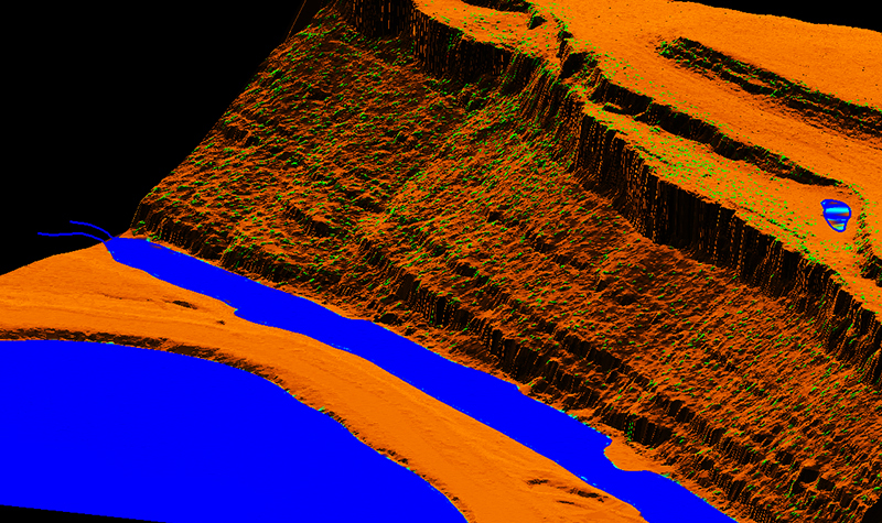
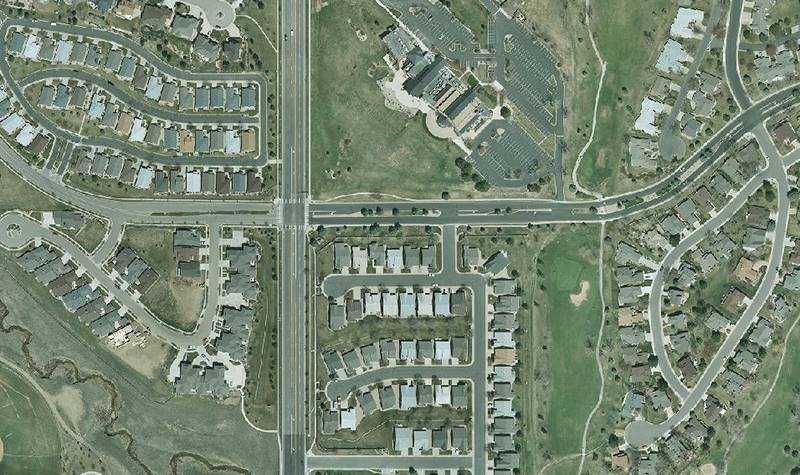
The base products for this group consist of 3-inch resolution color digital orthoimagery and 1-foot-interval contours derived from lidar.
Project Information
Client's NameCity of Fort Collins
LocationVarious Locations, CO
Primary ServiceGeospatial
MarketLocal Government