Illinois GIS Consortium Mapping
« Return to Project Search
The Illinois-based GIS Consortium (GISC) represents one of Ayres’ most complex programs and exemplifies our background in performing large-scale mapping in urban environments. The GISC is a group of more than 30 Chicago area communities working together to develop GIS solutions to support municipal engineering, planning, forestry, and public safety. Ayres has been providing high-accuracy mapping and survey to member communities since the 1990s. The GISC recently awarded Ayres a five-year renewal for geospatial services extending through at least 2018.
Most of the GISC falls within in a 10-nautical-mile radius of O’Hare International Airport, one of the most difficult airspace environments in the nation. Ayres has built strong relationships with the Federal Aviation Administration, TRACON, and the O’Hare Air Traffic Control Tower. Recurring temporary flight restrictions add another challenge. These temporary airspace restrictions apply when the president travels to his home in the Chicago area. Ayres applies for waivers through the U.S. Secret Service to maintain continual operation during these visits.
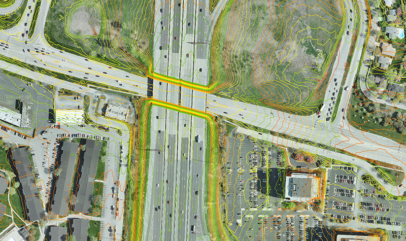
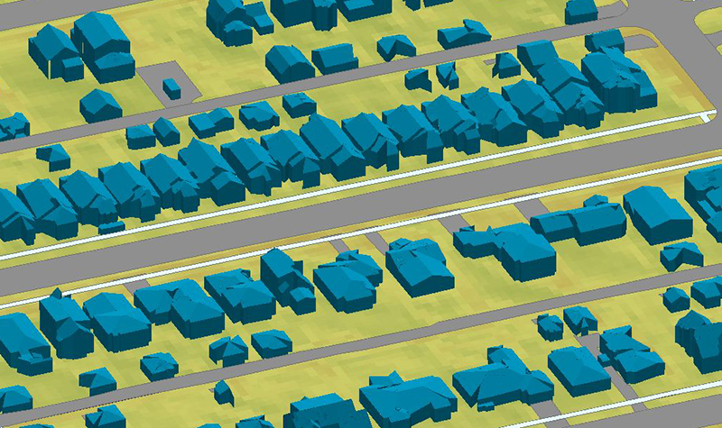
The wide range of mapping we perform annually for the GISC is designed primarily for daily use in municipal engineering. Aerial missions are conducted annually to maintain up-to-date base mapping data consisting of 3-inch resolution orthoimagery, 1 inch=50 feet scale planimetrics, and 1-foot interval contours derived from high-resolution lidar. Ancillary products include leaf-on aerial imagery for urban forestry, 3D modeling of structures, impervious surface datasets, and tall building-lean mitigation in business districts.
Project Information
Client's NameGIS Consortium
LocationHighland Park, IL
Primary ServiceGeospatial
MarketLocal Government