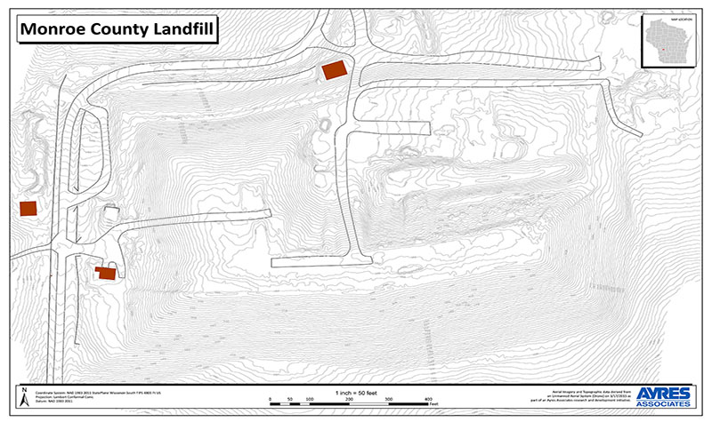
Monroe County Landfill UAS 3D Surface Models
« Return to Project Search

Ayres conducted an unmanned aerial systems (UAS) mission at the Monroe County Solid Waste Department’s landfill near Tomah. Ayres has been providing professional consulting services at this site since 1976.
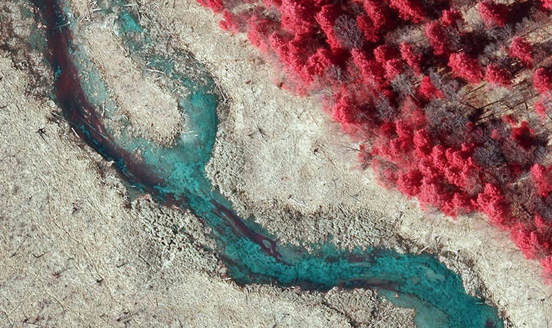
Ayres employed drone technology to create 3D surface models of this active landfill site to support volumetric calculations and change detection analysis. The topographic mapping derived from this mission provided a much higher definition surface model than what is generated from conventional survey, permitting detailed analysis of the terrain at the micro-level. High resolution aerial imagery, approximately 1.5-inch pixel resolution, was captured and geo-referenced for all sites to provide visual reference of the site and facilities. Importantly, the use of UAS also limits the exposure of survey staff to potentially hazardous and unsanitary conditions.
Ayres’ work for the Solid Waste Department has included the permitting and design of three landfills. On the County’s behalf, Ayres is responsible for completion of the permitting process currently under way for expansion of the landfill. Our full range of solid waste services for Monroe County includes solid waste and financial planning, operations assistance, environmental monitoring, geologic and hydrogeologic investigations, waste volume studies, design, bidding, and construction oversight and documentation.
Project Information
Client's NameMonroe County Solid Waste Department
LocationTomah, WI
Primary ServiceGeospatial
MarketLocal Government