City of Marshfield Planimetrics
« Return to Project Search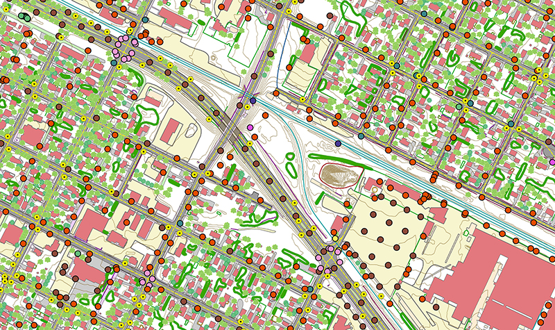

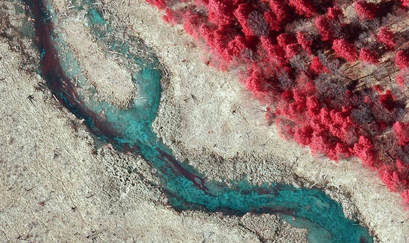
The City of Marshfield selected Ayres to provide planimetric mapping as part of the Wisconsin Regional Orthoimagery Consortium program in 2015. Ayres used the 6-inch imagery collected in a separate contract for Wood County to derive planimetric features. Assets and features such as roads, pipelines, rivers, bridges, dams, fences, towers, trails, railroads, walls, and wetlands were mapped to 1″ = 100′ scale mapping (2 feet RMSE using the National Standard for Spatial Data Accuracy testing procedures).
Project Information
Client's NameCity of Marshfield
LocationMarshfield, WI
Primary ServiceGeospatial
MarketLocal Government