People
Over the years, we’ve been honored to welcome some of the most talented minds in the industry to our team, and our partners benefit from their knowledge, guidance, and expertise.

"I couldn’t have asked for better communication from Zach and the entire Ayres team. As COVID was unfolding, Zach was always in constant communication with me on how Ayres was adapting to the changing working conditions along with their solutions for keeping flights on time and on schedule."Cody Brommerich
Jackson County, WI
I manage Ayres' aerial mapping operations, drawing on well over 15 years of experience in digital mapping, GIS, and project management. I have designed and led lidar and orthoimagery projects from planning through flight and then data processing, quality control, and completion. My team and I serve a diverse range of clients in the private and public sectors, including many counties and municipalities in Wisconsin. As project coordinator for the Wisconsin Regional Orthophotography Consortium, I am part of a team completing orthoimagery and lidar projects for over 100 members and partners.
My areas of expertise include:
- Aerial sensors
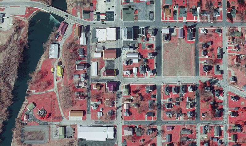
- Orthoimagery
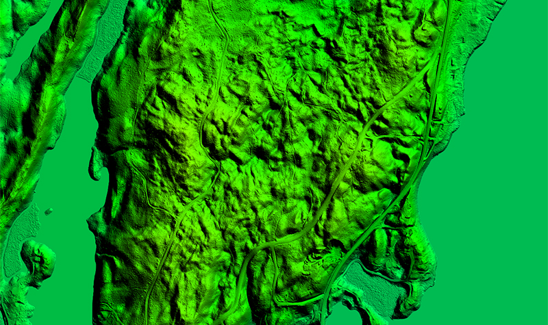
- Aerial lidar
- Lidar specifications
- Geographic information systems
- Environmental remote sensing applications
- Client relationship development
Education
- BS, Cartography/Geographic Inform. Systems & Physical Geography, University of Wisconsin-Madison


