Boulder, CO, Lidar & Orthoimagery
« Return to Project Search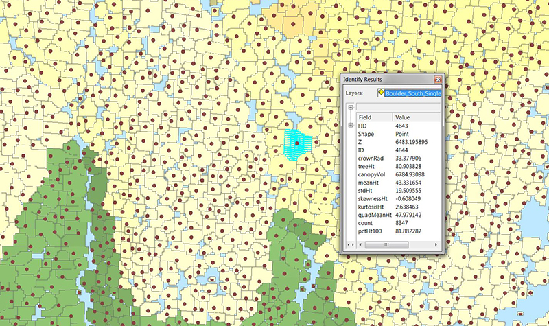

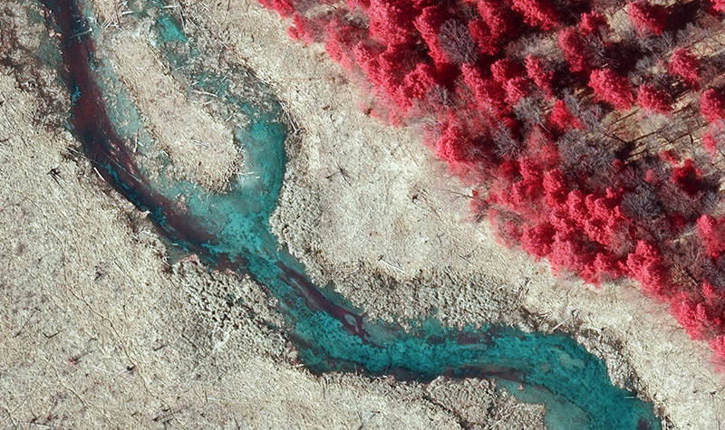
The City of Boulder chose the Ayres team to provide geospatial services for a project that developed a high-accuracy, bare-earth surface model through the use of high-density aerial lidar. This data is being used in floodplain and mitigation studies, vegetation and canopy analysis, and urban planning studies. The lidar also supports the mapping of electric distribution assets. The City received high-resolution orthoimagery developed from digital aerial imagery. The project is a collaboration among the City’s Department of Public Works/Utilities, Open Space & Mountain Parks, and Planning & Development Services.
Project Information
Client's NameCity of Boulder
LocationBoulder, CO
Primary ServiceGeospatial
MarketLocal Government