Fly Dane
« Return to Project Search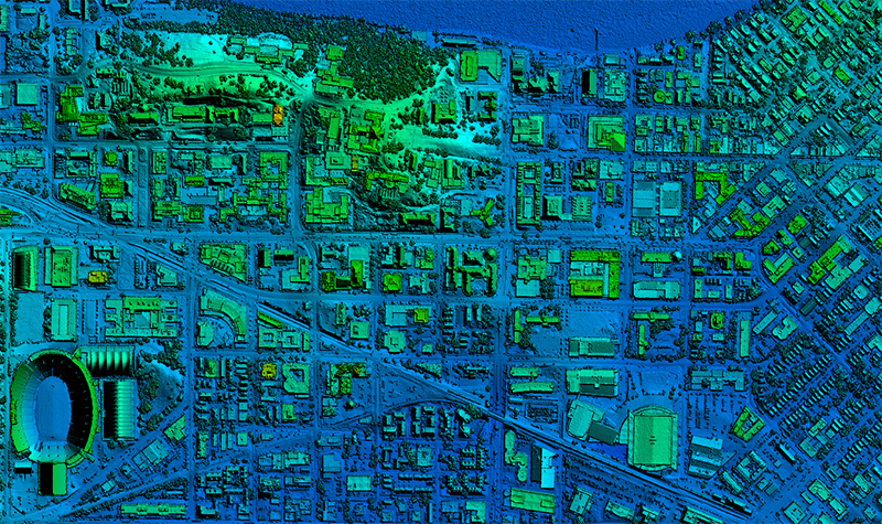
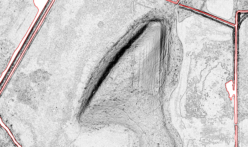
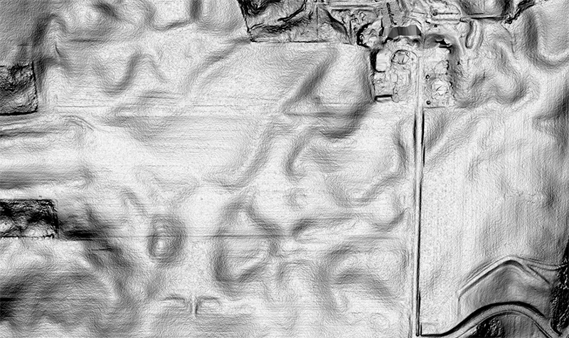

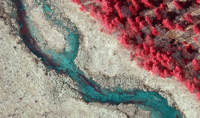
Dane County selected Ayres to provide lidar and orthoimagery acquisition and processing in 2017 as part of the Fly Dane program. Services included developing topographic mapping and high resolution digital orthoimagery.
Ayres also provided consulting services to apply for federal funding through the U.S. Geological Survey’s 3D Elevation Program (3DEP). Ayres has been 100% successful in securing funds through this competitive grant program, resulting in substantial resources towards paying for lidar projects for Dane and many other counties across Wisconsin.
Project Information
Client's NameDane County
LocationDane County, WI
Primary ServiceGeospatial
MarketLocal Government