People
Over the years, we’ve been honored to welcome some of the most talented minds in the industry to our team, and our partners benefit from their knowledge, guidance, and expertise.

"Aaron was very responsive to our needs, and our staff was very pleased with the end product."Courtney Klaus
Wisconsin Department of Natural Resources


-WEB.jpg)


I joined Ayres in 1996 as a digital orthophotography technician, and I'm now a supervisor of geospatial services. My experience is in the use and production of digital orthophotography and in the area of GPS field survey.
My areas of expertise include:
- Digital orthophotography
- Digital imaging
- Photographic laboratory production
- Global positioning system survey
Education
- BS, Geography/Earth Sciences, University of Wisconsin-La Crosse
- Fly Dane
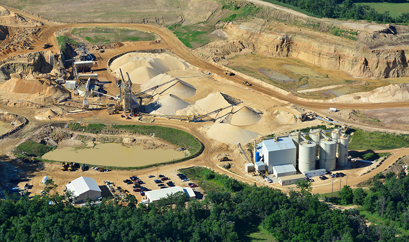
- Preferred Sands General Engineering
- Telecommunications Geospatial Services
- Advanced Disposal Mapping
- Hennepin & Scott Counties Mapping
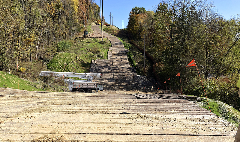
- ATC Access Road
- University of Iowa Flood Protection
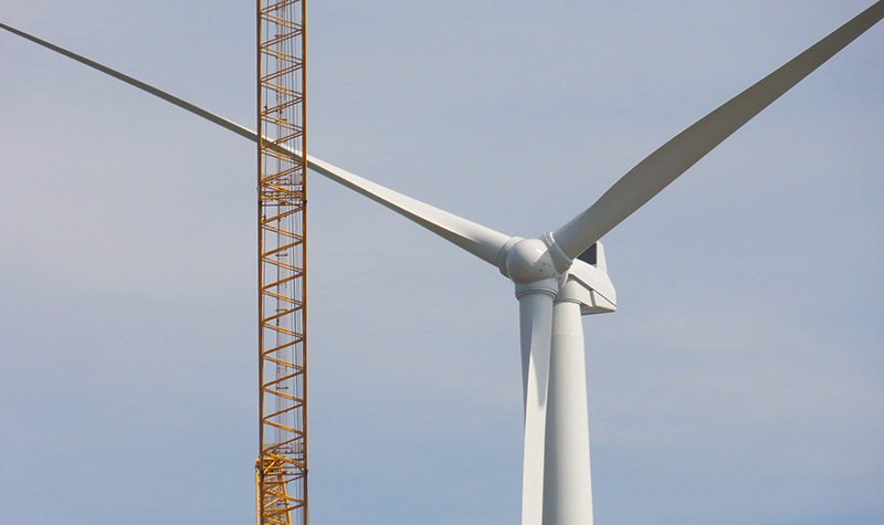
- Whispering Willow Wind Farm
- Menominee County Orthos & Lidar
- Boulder Lidar & Orthoimagery
- Wisconsin Regional Ortho Consortium
- Keystone Road Design
- Illinois GIS Consortium
- Gilman Cheese ALTA
- Wastewater Force Main Spill Response
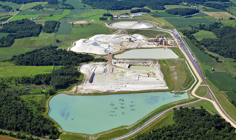
- Smart Sand General Engineering
- Northern Colorado Geospatial
- Pepin County Lidar & Orthos
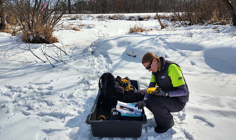
- Tribal Wild Rice Mapping
- Langlade County Online Lidar