Manitowoc Waldo Boulevard Urban Reconstruction
« Return to Project Search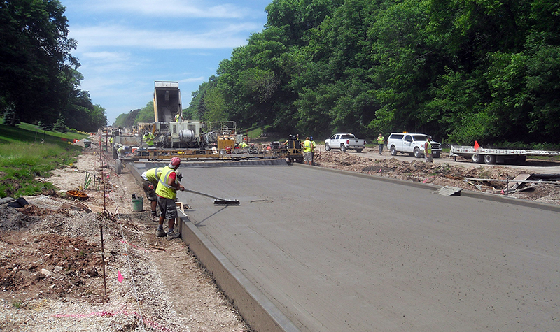
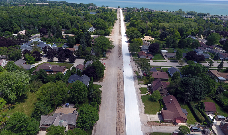
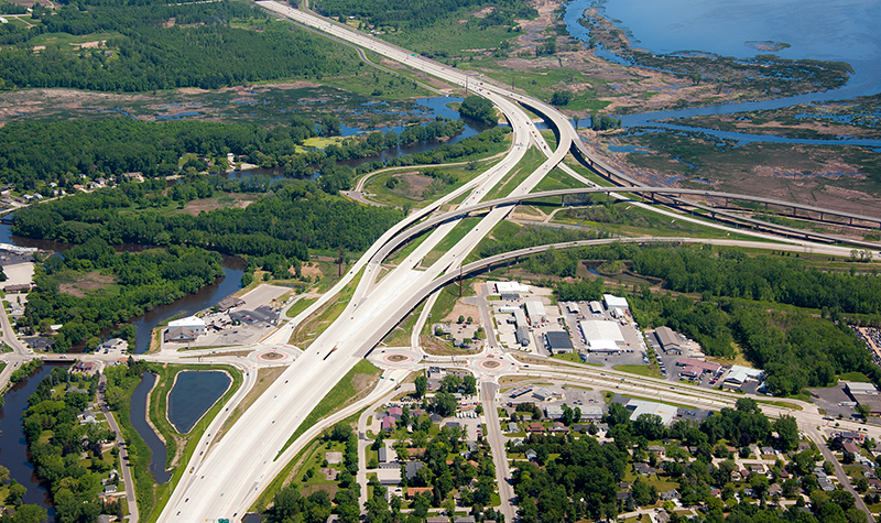
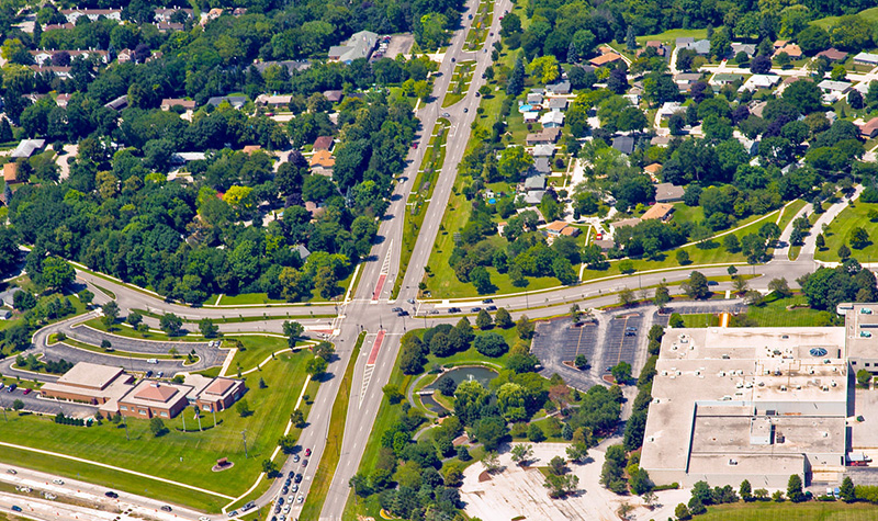
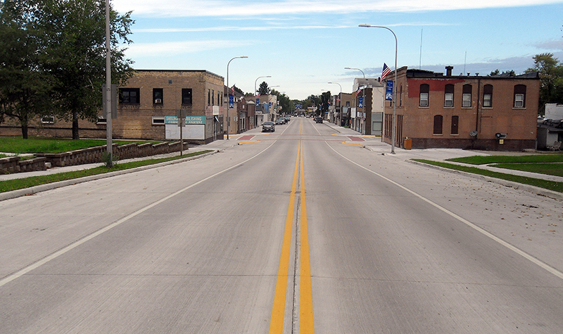
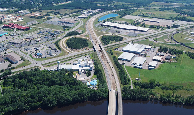
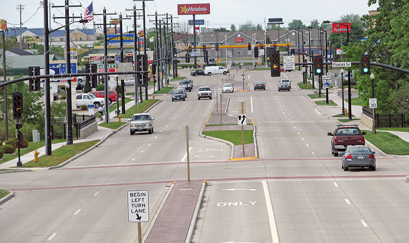
The Wisconsin Department of Transportation, Northeast Region, retained Ayres to prepare preliminary and final plans for USH 10/STH 42 (Waldo Boulevard), a four-lane urban roadway in the City of Manitowoc. The project involves roadway reconstruction and rehabilitation, bridge and culvert design, landscape design, and mobile lidar mapping.
The project was recognized with a 2021 Engineering Excellence State Finalist Award from the American Council of Engineering Companies of Wisconsin.
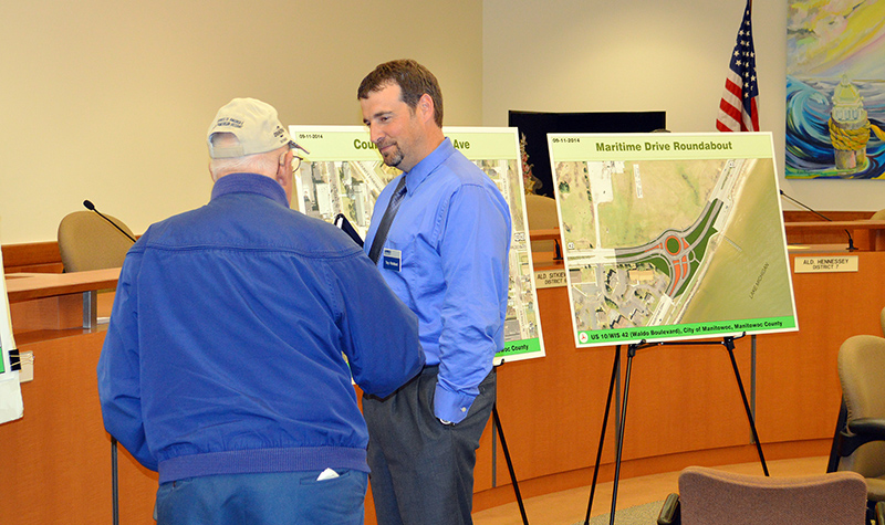
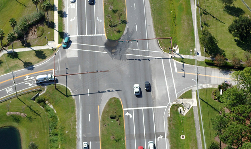
Ayres led an extensive public involvement program, including advisory committee and City Council meetings, to gain consensus for the typical section and intersection improvements to be used along USH 10/STH 42.
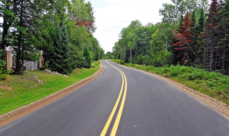
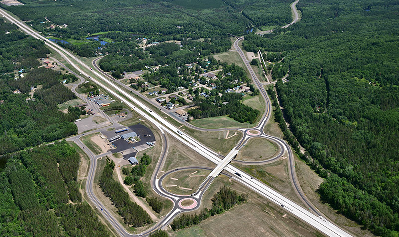
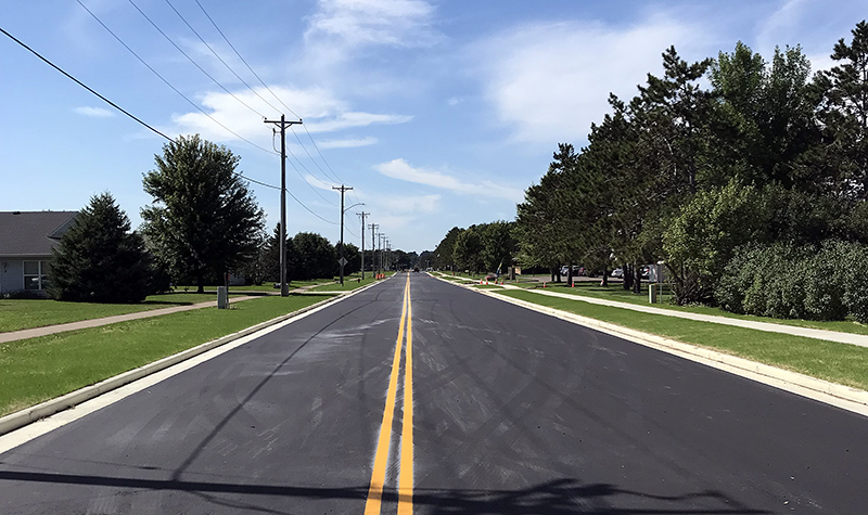
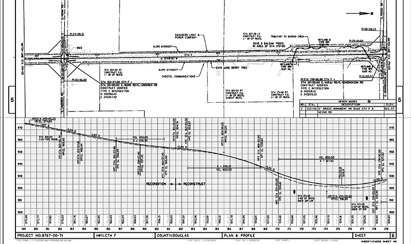
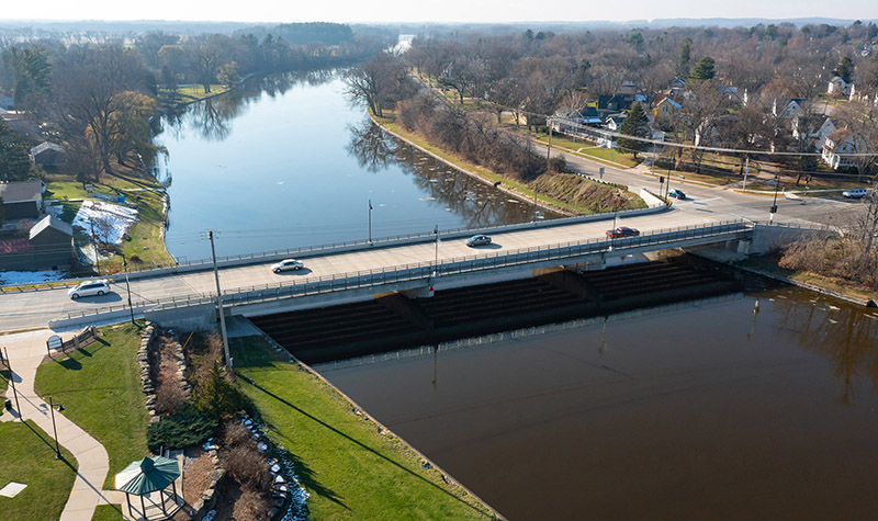
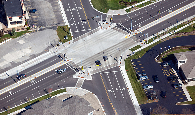
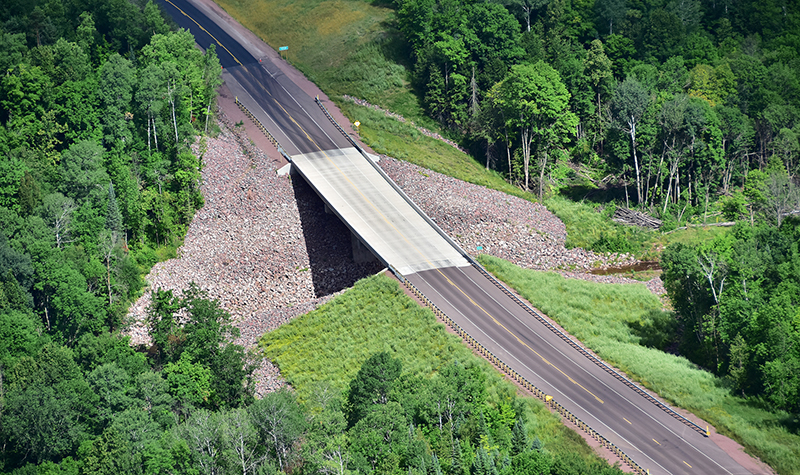
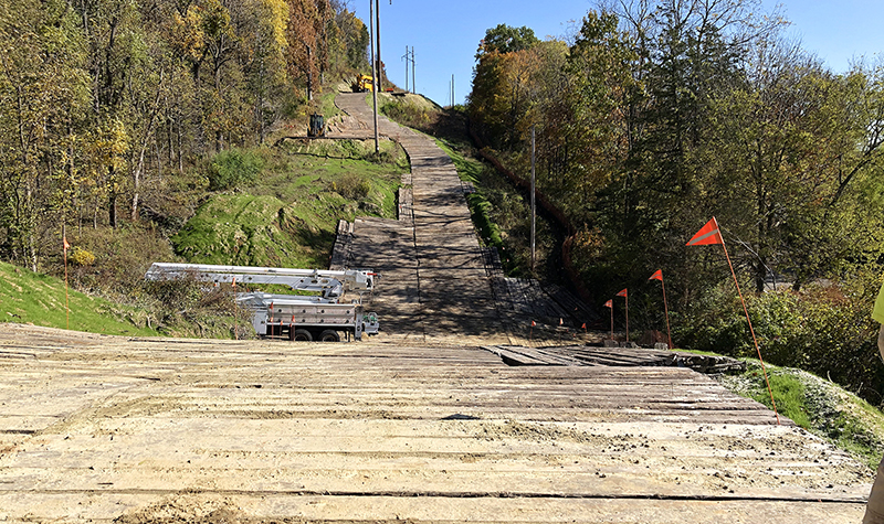
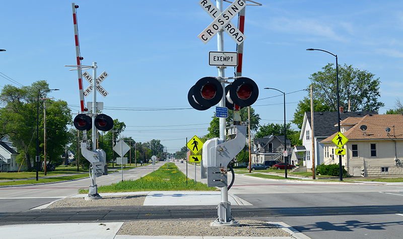
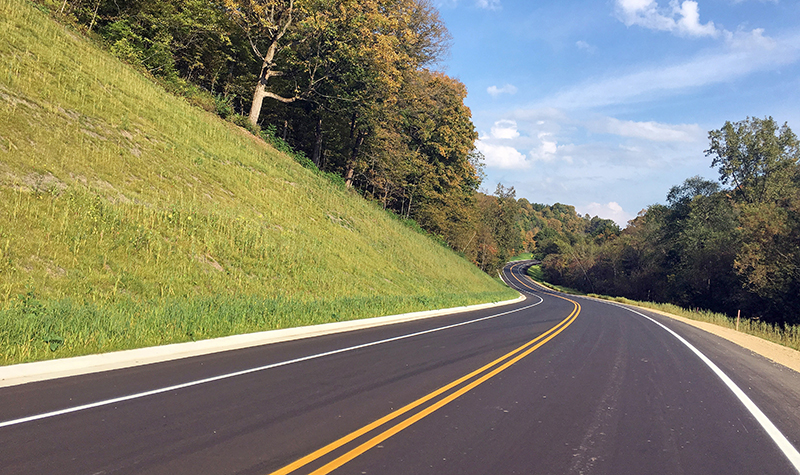
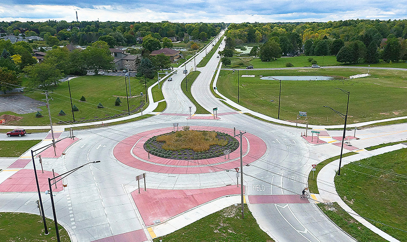
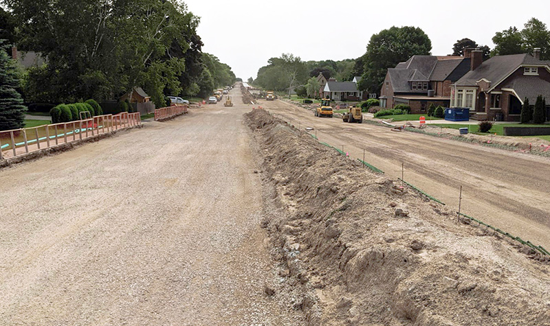
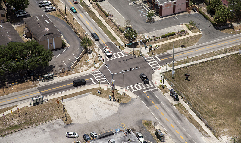
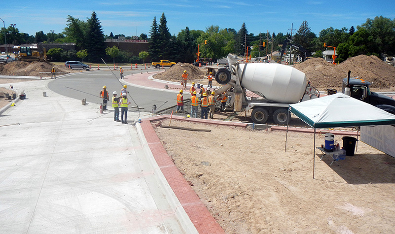
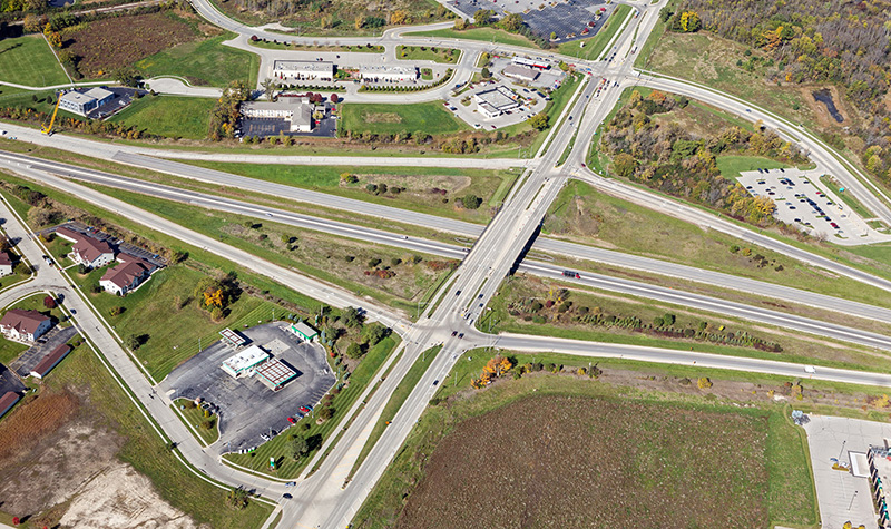
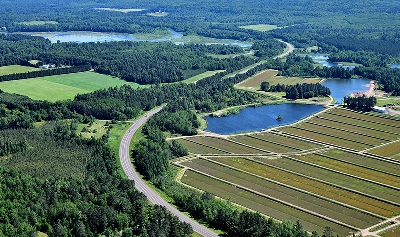
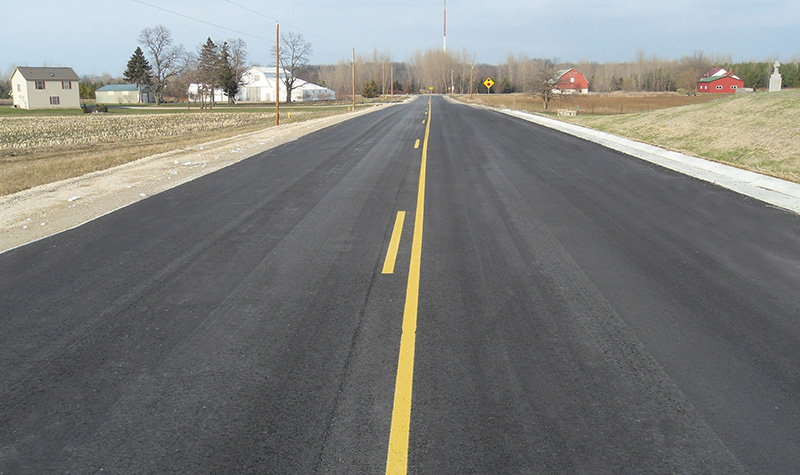
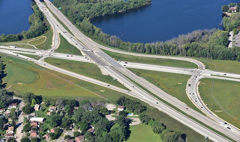
Approximately 1.2 miles of Waldo Boulevard were rehabilitated from CTH R to 23rd Street, including the bridge over the Canadian National Railroad, and from 8th Street to Maritime Drive. About 2.2 miles were completely reconstructed from 23rd Street to 8th Street. The project included four signalized intersections.
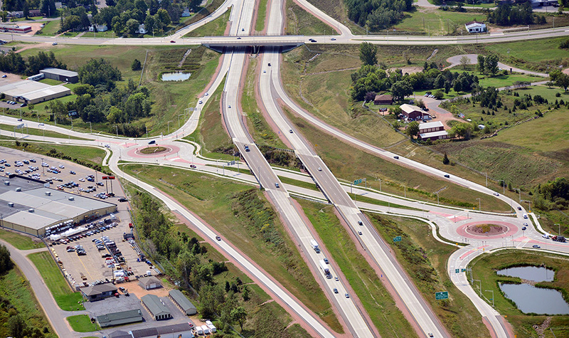
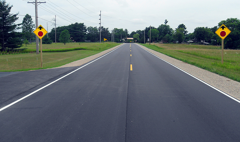
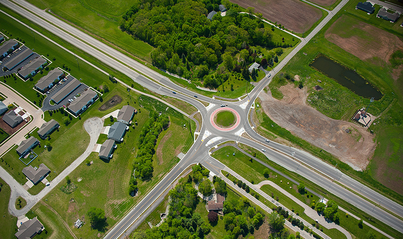
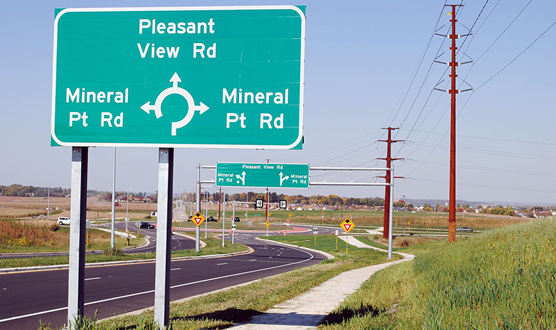
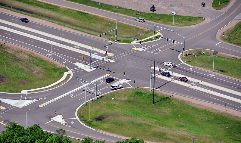
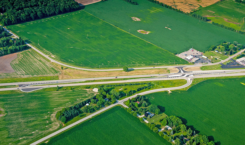
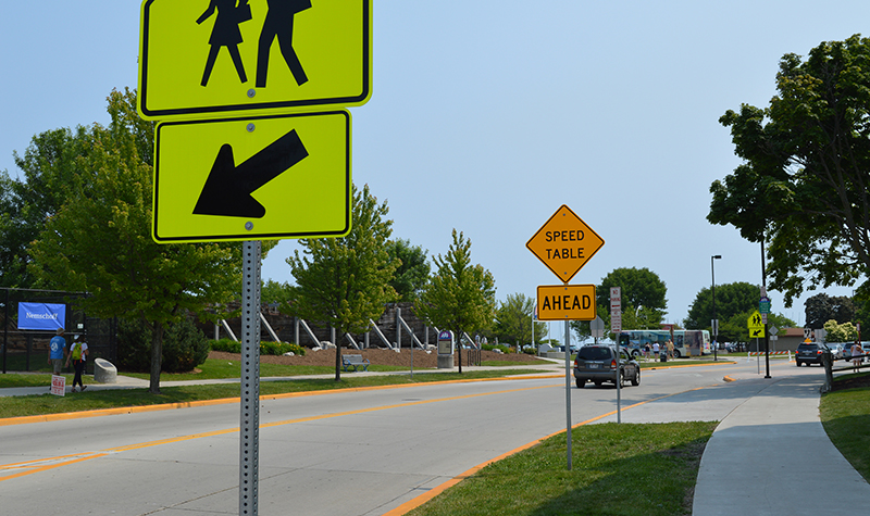
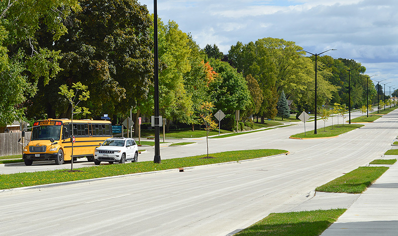
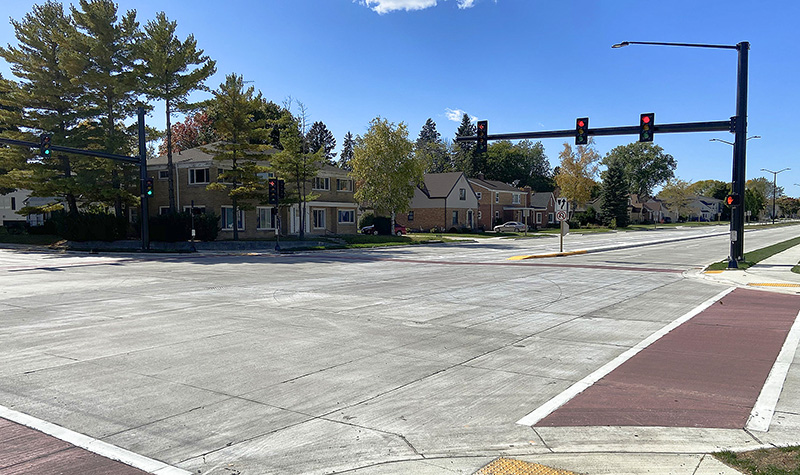
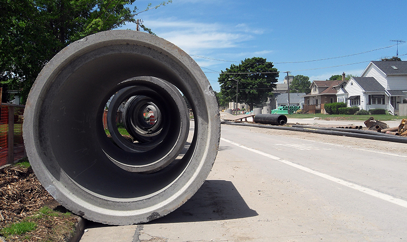
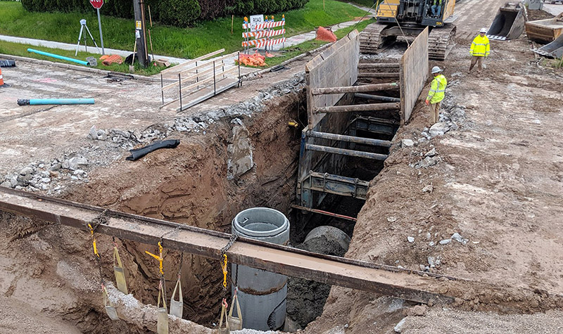
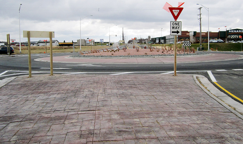
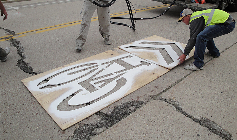
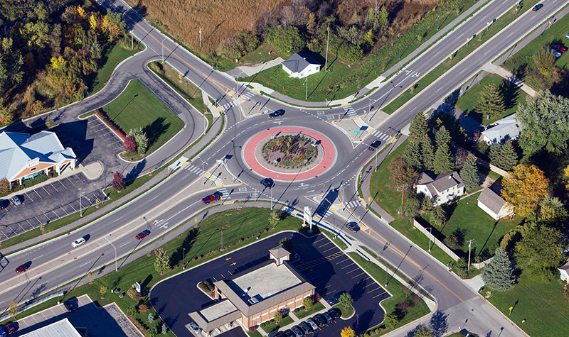
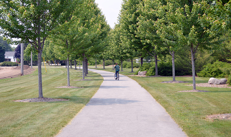
The rehabilitation sections included patching concrete joints and panels, spot repair of storm sewer inlets and manholes, and an asphaltic overlay. The reconstruction segment included upgrades to signals at the intersections of CTH R, 18th Street, 11th Street, and 8th Street; new storm sewer; and the design of a dual lane roundabout at Maritime Drive. “Complete streets” features and bus accommodations were implemented.
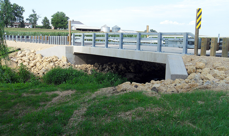
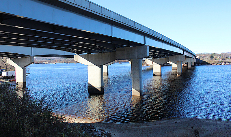
Bridge and Culvert Design
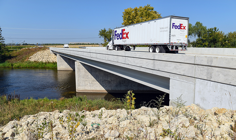
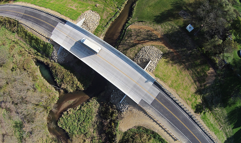
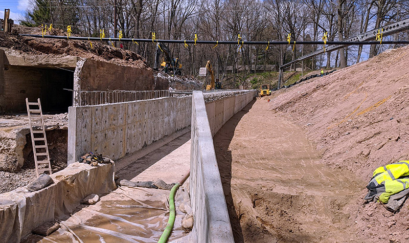
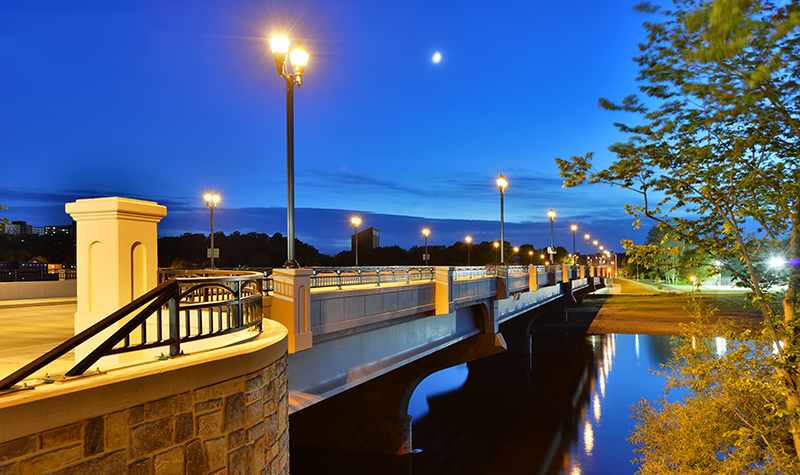
Three structures were rehabilitated or replaced: A three-span bridge over the Canadian National Railroad was rehabilitated by replacing the existing concrete deck and railings; a single-span bridge over the Little Manitowoc River was rehabilitated by repairing concrete and replacing the railings; and a box culvert under significant fill was replaced.
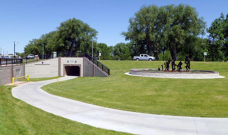
Mapping and Landscape Architecture Services
Topographic data was acquired with mobile lidar (light detection and ranging) technology to reduce lane closures and limit survey operations in the right-of-way. A high-density scan was performed on the substructure of the bridge over the railroad tracks. The resulting three-dimensional model of this structure was used to aid in its rehabilitation design. Landscape architecture services included final intersection, median, and boulevard plans.

Project Information
Client's NameWisconsin Department of Transportation, Northeast Region
LocationManitowoc, WI
Primary ServiceRoadway Design
MarketState + Federal + Tribal

-WEB.jpg)