Keystone Road (US 19 to East Lake Road) Design
« Return to Project Search-WEB.jpg)
-WEB.jpg)
-WEB.jpg)
-WEB.jpg)
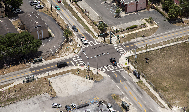
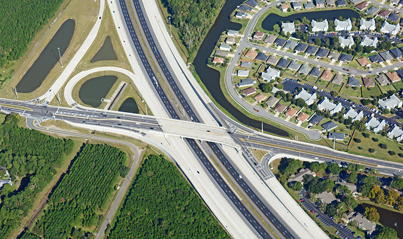
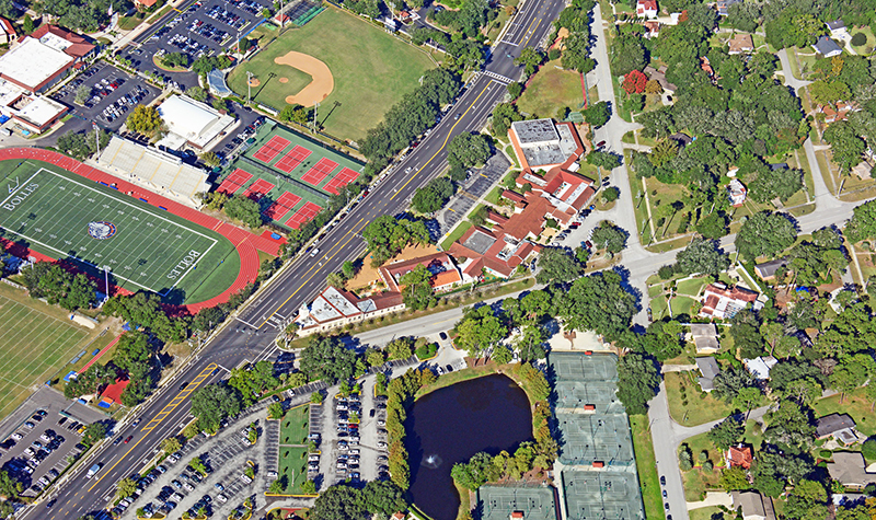
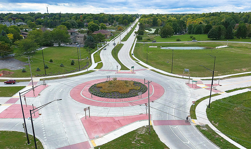
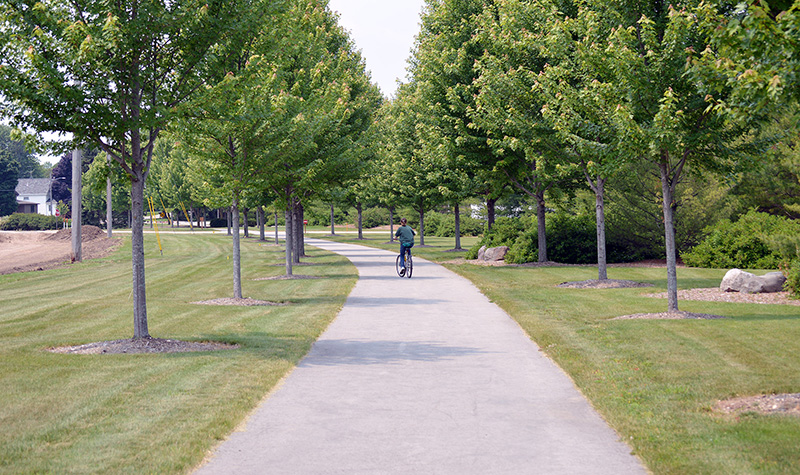
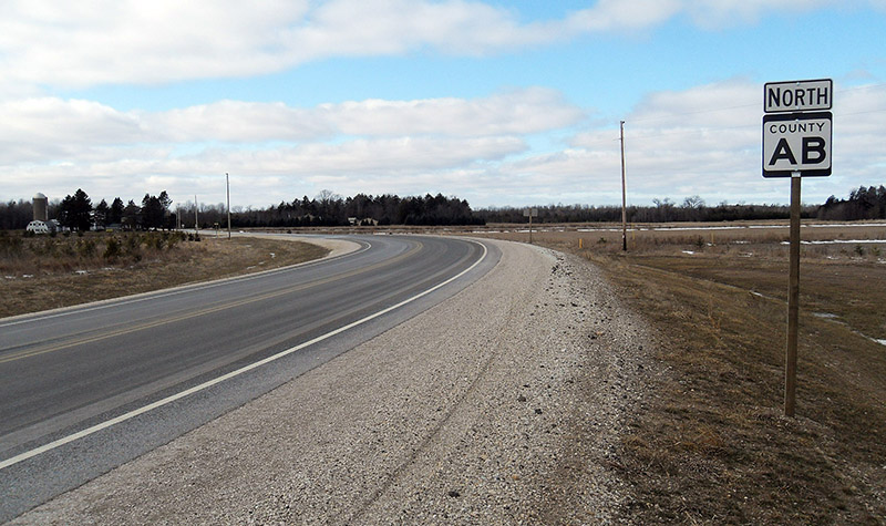
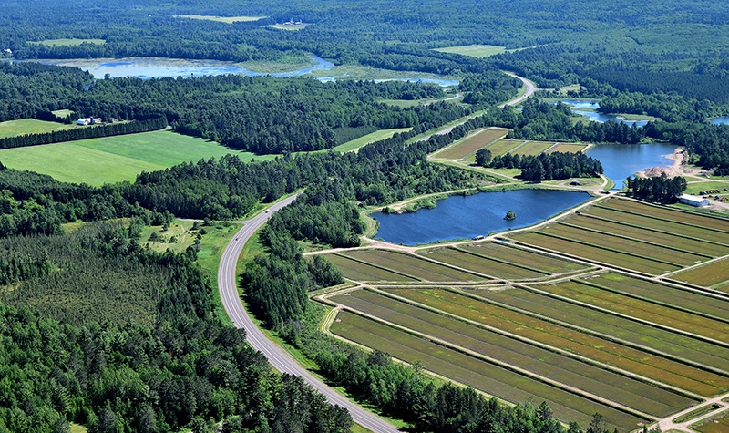
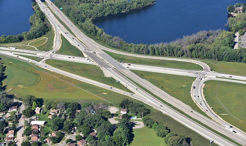
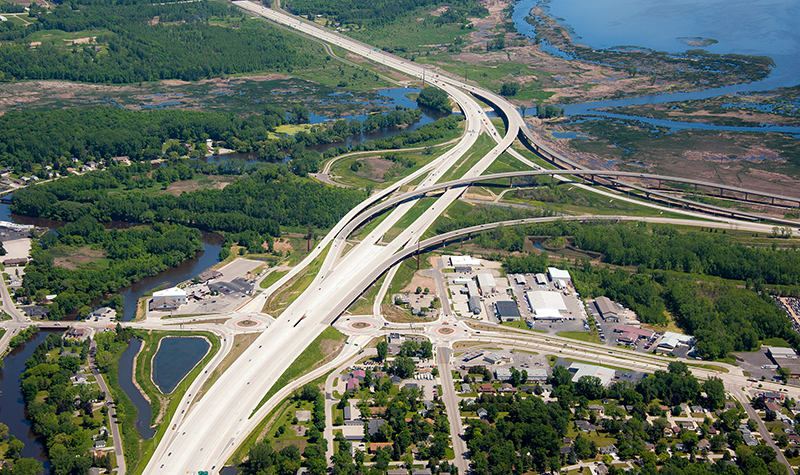
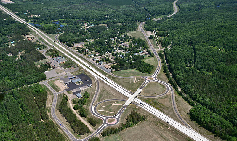
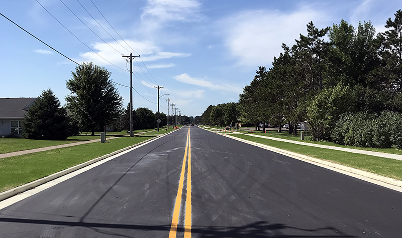
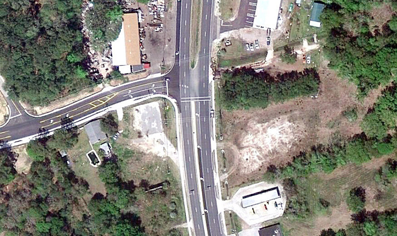
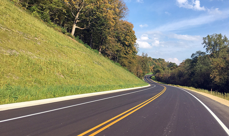
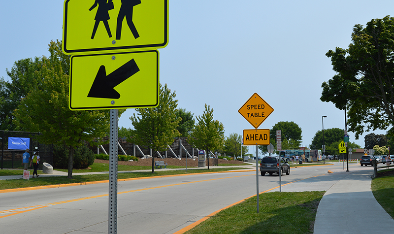
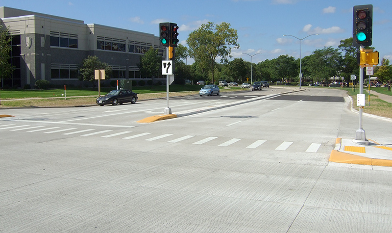
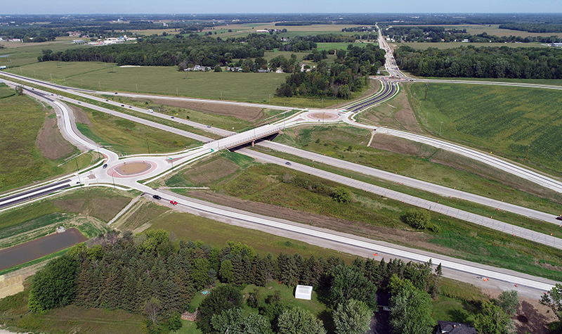
Pinellas County retained Ayres to provide design engineering services for the reconstruction of 3 miles of congested Keystone Road to an urban four-lane raised-median divided roadway section with future widening to six lanes. The existing two-lane facility was inadequate for increasing traffic volumes. The design provided sidewalks on each side of the roadway. For about 2 miles of the corridor, the sidewalk was replaced by a multi-use trail that will become part of the renowned Pinellas Trail.
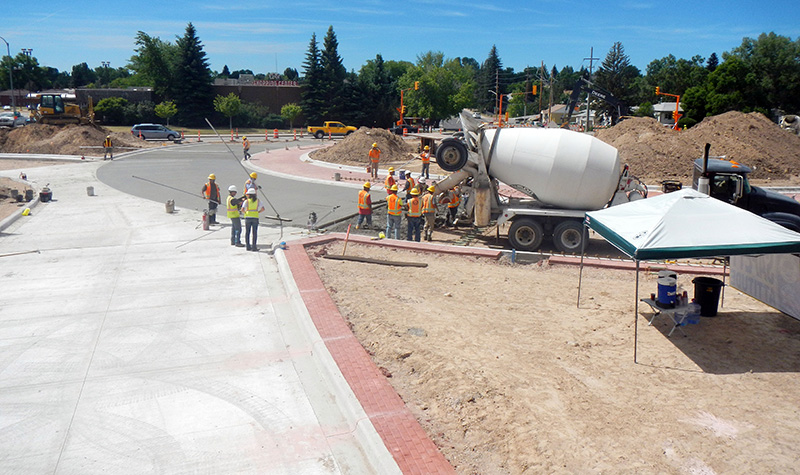
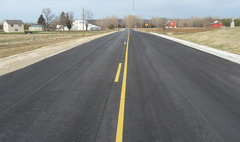
The $30 million project was completed more than $1 million under budget and 140 days ahead of schedule, vastly improving traffic flow.
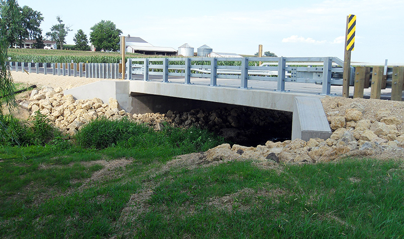
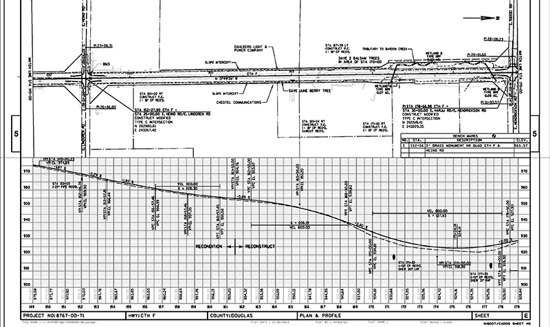
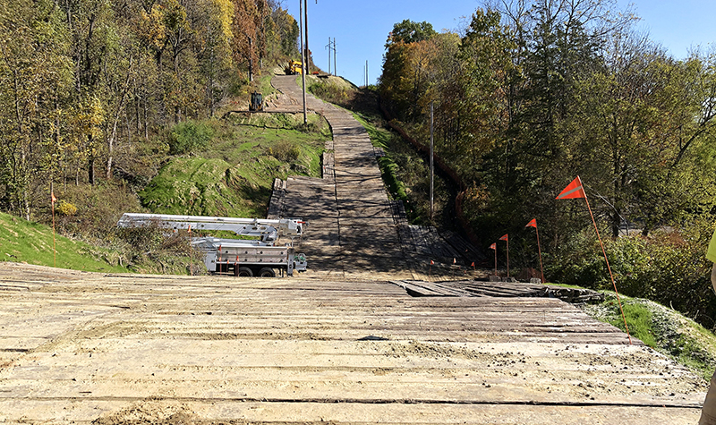
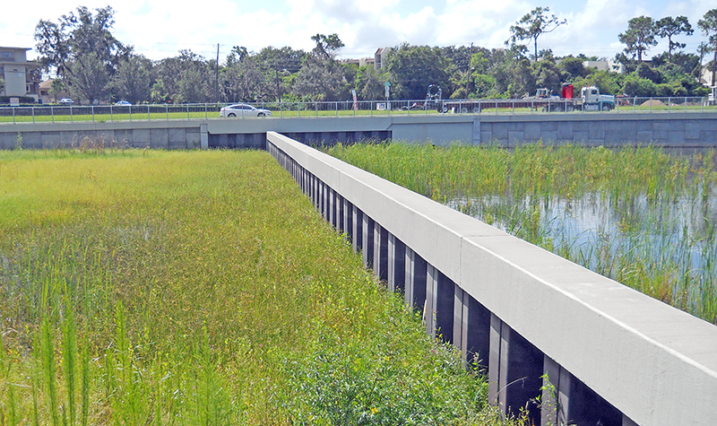
The constricted corridor required miles of retaining walls that included cast-in-place, concrete sheet pile, steel sheet pile, and MSE type walls. Groundwater elevations and lack of available right-of-way required various types of walls to be used, depending on the site conditions. Watertight steel sheet pile walls were used to separate stormwater pond areas from floodplain compensation/wetland mitigation areas.
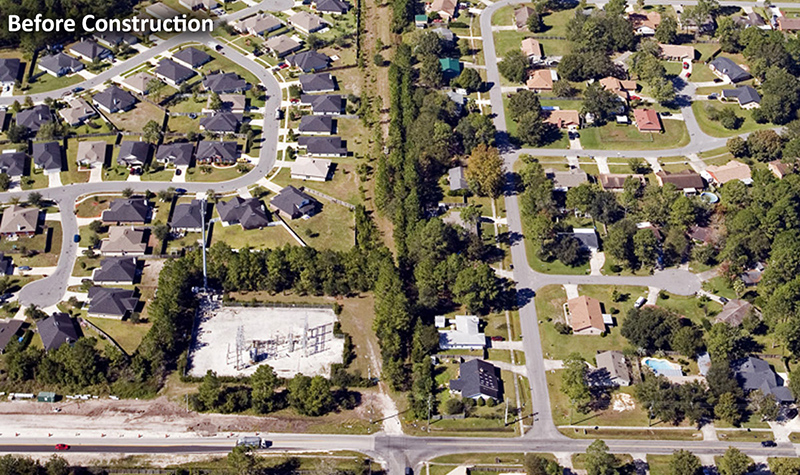
Drainage design, wetland mitigation, and floodplain compensation were the most difficult aspects of this project. Numerous alternatives were reviewed based on land availability, resulting in a system of multifunctional ponds and off-site facilities designed to mitigate the adverse stormwater and environmental impacts of the project. The system includes three dry retention ponds, six wet detention ponds, one former quarry site converted to a wet retention pond, three stormwater-detention-adjacent-to-floodplain compensation sites (two of which use a water-tight retaining wall as separation to maximize space), and one off-site floodplain compensation site. The project included more than 6 miles of drainage pipes up to 72 inches in diameter to control stormwater runoff.
Wetland impacts that could not be avoided were mitigated both on and off site. The floodplain compensation sites were planted with native wetland species for new wetland creation, and two County-owned environmental sites, Mariner’s Point and the Brooker Creek Preserve, were enhanced to achieve the required mitigation credits.
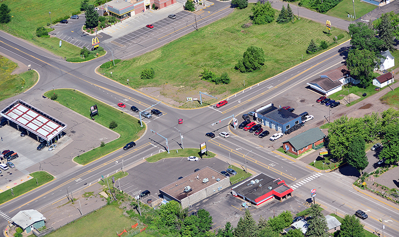
Constructability was a key component of the design. Construction staging was laid out to provide two lanes of traffic during construction and access to adjacent residences and businesses, and staging took utilities relocation into account. The confined corridor lies within developed residential and commercial areas. A large number of utilities complicated the design, including water main, sanitary sewer, overhead distribution and transmission lines, underground gas mains, and underground fiber optic cables. Some utilities were over 50 years old.
The project included obtaining aerial photography and planimetrics for the Keystone Road corridor and integrating the collected data into the existing database provided by Pinellas County.
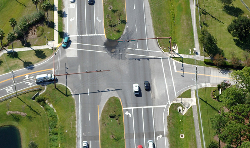
Signal systems were designed for two intersections, and interconnection conduit was installed along the corridor for future communication between signals.
Relocation of a 20-inch water main and other utilities, including 8- and 6-inch water mains and 4-inch force main, was designed under a separate contract with the City of Tarpon Springs.
Project Information
Client's NamePinellas County Public Works Department
LocationPinellas County, FL
Primary ServiceRoadway Design
MarketLocal Government