Wisconsin Regional Orthoimagery Consortium
« Return to Project Search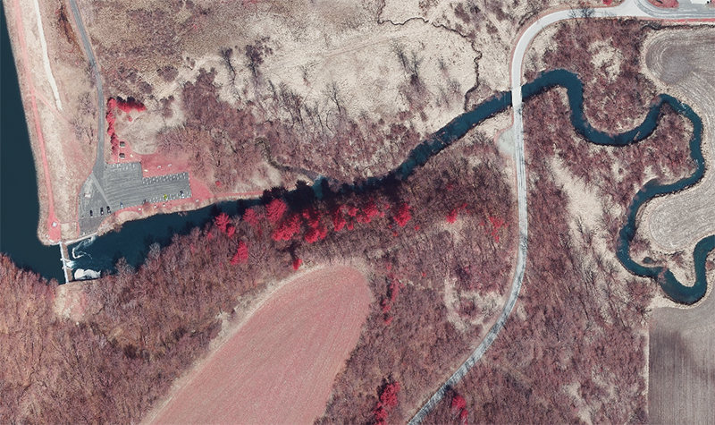


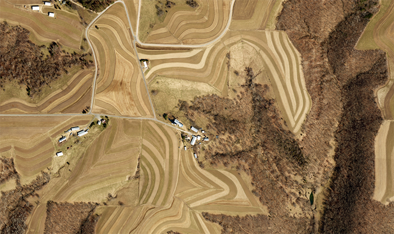
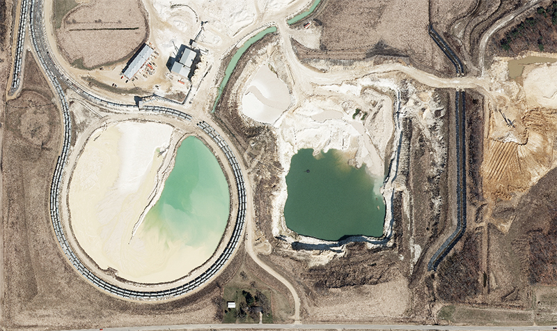
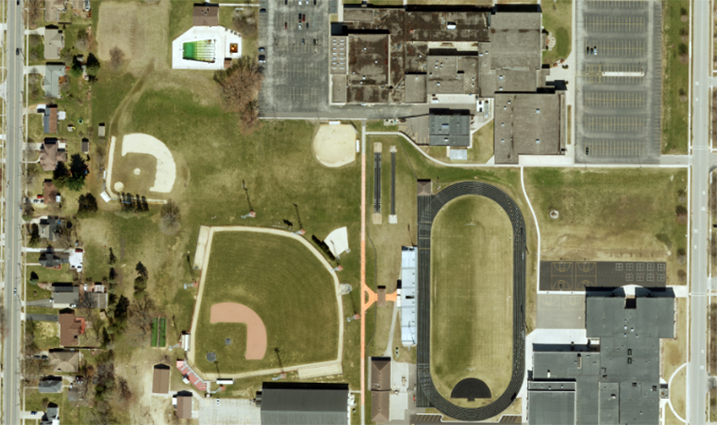
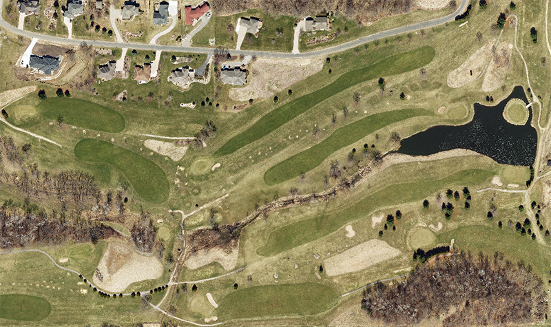
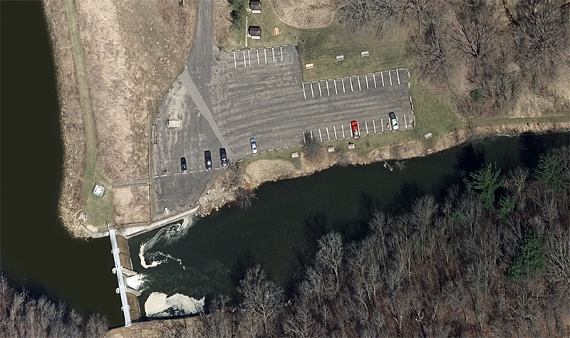
The Wisconsin Regional Orthoimagery Consortium (WROC) is a multiple-entity group whose goal is to build and sustain a multiparticipant program to acquire elevation data and digital orthoimagery throughout Wisconsin for use in tasks ranging from tax assessment to emergency management. WROC 2025 marks the seventh time since 1995 that a regional consortium in Wisconsin, including Ayres as a key partner, has worked together toward this goal.
During the 2020 WROC cycle, 11,000 square miles of aerial lidar and 56,000 square miles of orthoimagery were acquired, with the Ayres team delivering customized datasets to more than 100 separate entities.
The American Council of Engineering Companies of Wisconsin presented Best of State Awards to the 2020, 2015, and 2010 WROC programs. The American Council of Engineering Companies gave the 2020 program its National Recognition Award.
WROC continues to grow and has been the catalyst for completion of statewide orthoimagery and lidar in Wisconsin. The public has gained access to statewide orthoimagery coverage in 2010 and 2020, and it will again in 2025. Over the years public and private partners have contributed significant funds toward orthoimagery and lidar projects in exchange for access to these high-quality spatial datasets. Partners include utilities, electric cooperatives, tribes, municipalities, private industry, and state and federal agencies.
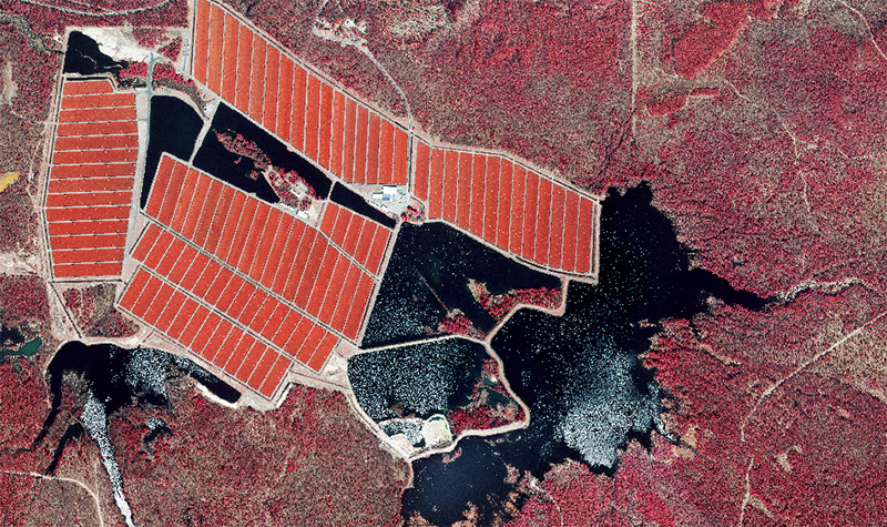
Examples of diverse products within the WROC program include:
3-inch or 6-inch resolution orthos for countywide projects
3-inch resolution for municipalities
12-inch resolution statewide orthos
QL1 and QL0 lidar with various derived products
Detailed planimetric mapping for engineering and GIS
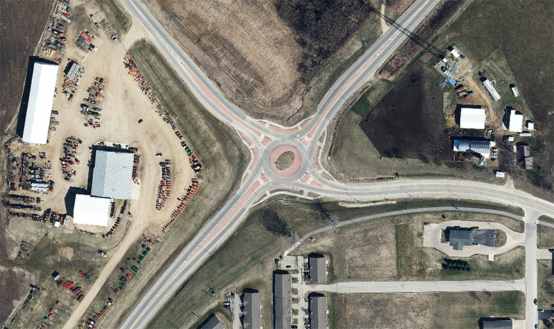
To facilitate a cooperative approach for orthoimagery data acquisition, the team worked with the Wisconsin land information community to strengthen relationships among local, regional, state, and federal entities, as well as tribes and utilities. WROC is designed to allow all participants to receive products and services tailored to their individual geospatial needs. Participants are given a range of orthoimagery options from 3-inch to 6-inch resolution in addition to specialized formatting and coordinate system outputs. Customized photogrammetric and lidar services also make up a significant part of the WROC program.
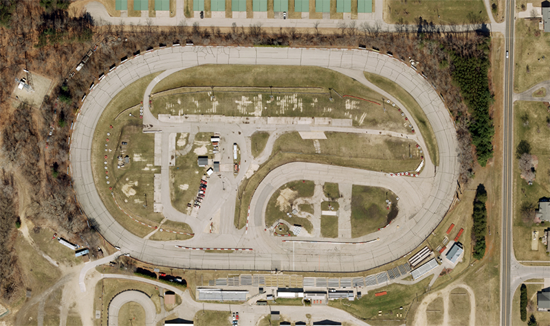
During the 2023 through 2025 WROC cycle, the following have been completed:
56,000 square miles of orthos statewide
50,000+ square miles of high-resolution orthoimagery for 64 counties
15,000+ square miles of lidar for 17 counties
20+ customized municipal ortho, lidar, and mapping projects

Project Information
Client's NameNorth Central Wisconsin Regional Planning Commission
LocationStatewide, WI
Primary ServiceGeospatial
MarketLocal Government