Hennepin & Scott Counties 2019 Highway Mapping
« Return to Project Search
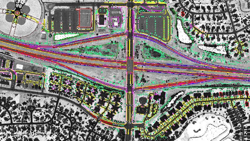
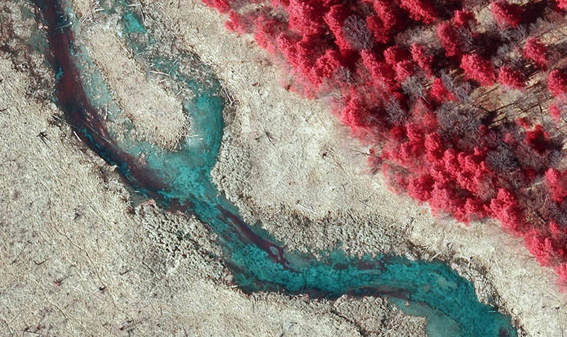
The Minnesota Department of Transportation retained Ayres under a master contract to provide high accuracy aerial lidar and imagery mapping services for two highway corridors in the Metro District, including 7 miles of TH 282 in Scott County from TH 21 to TH 13 and 11 miles of the TH 94, TH 252, and TH 610 corridors north of Minneapolis along the Mississippi River in Hennepin County. Ayres acquired the lidar and imagery in the spring of 2019.
Project Information
Client's NameMinnesota Department of Transportation
LocationHennepin and Scott Counties, MN
Primary ServiceGeospatial
MarketState + Federal + Tribal