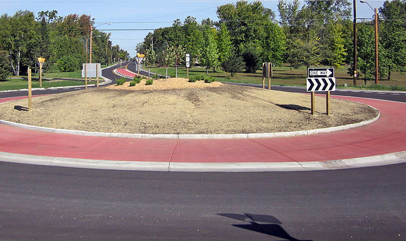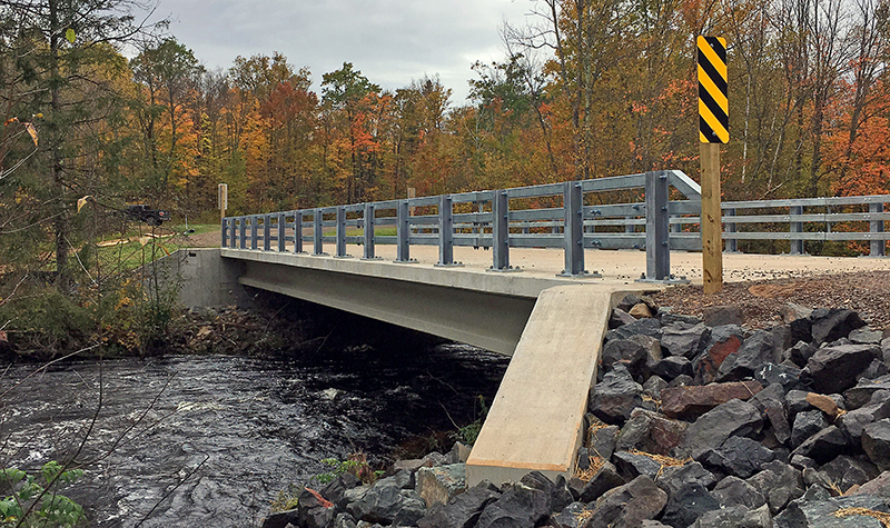
Nationally recognized for our aerial mapping, land surveying, and GIS, our turnkey process delivers exceptional value without sacrificing one inch on quality or service.
Try out the Ayres Lidar Online web app!
Nationally recognized for our aerial mapping, land surveying, and GIS, our turnkey process delivers exceptional value without sacrificing one inch on quality or service.
Try out the Ayres Lidar Online web app!


-WEB.jpg)


-WEB.JPG)