WisDOT Ongoing Geospatial Services Contracts
« Return to Project Search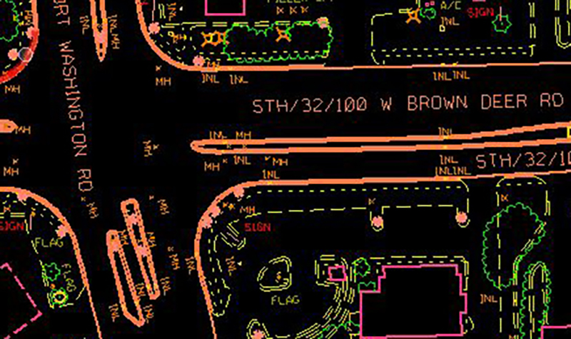


Ayres has been providing ongoing geospatial mapping services to the Wisconsin Department of Transportation for more than 20 years. WisDOT has come to rely on Ayres for quick-turnaround projects that require highly accurate and detailed specifications.
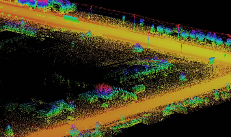
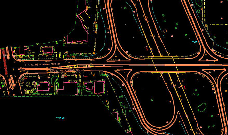
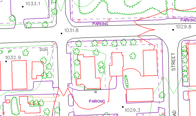
Staying on top of the latest advances in mapping technology is important to WisDOT. Ayres has been providing mobile lidar survey to support transportation design efforts for major roadways in southern Wisconsin, including complex, urban interstate and rural state highways. Each project requires a thorough understanding of the capabilities of mobile lidar and design software used by engineers. In addition to survey-grade topographic information, high accuracy planimetric features can also be extracted from the lidar point clouds and delivered in CAD-based formats.
Project Information
Client's NameWisconsin Department of Transportation, Central Office
LocationStatewide, WI
Primary ServiceGeospatial
MarketState + Federal + Tribal