Drones Take Information Gathering To New Heights; Ayres Quick To Get Pilots Licensed
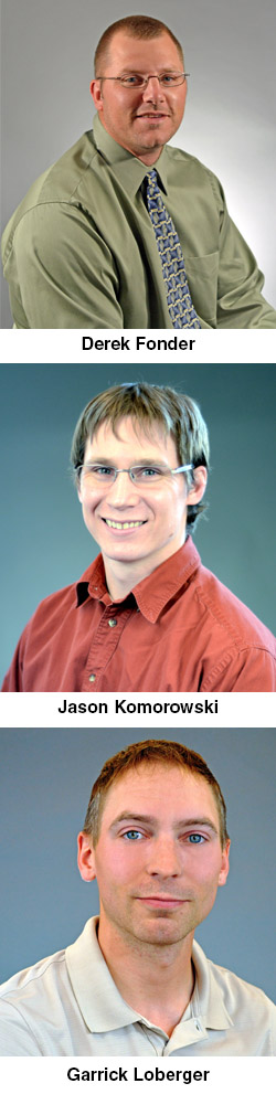 By Derek Fonder and Garrick Loberger
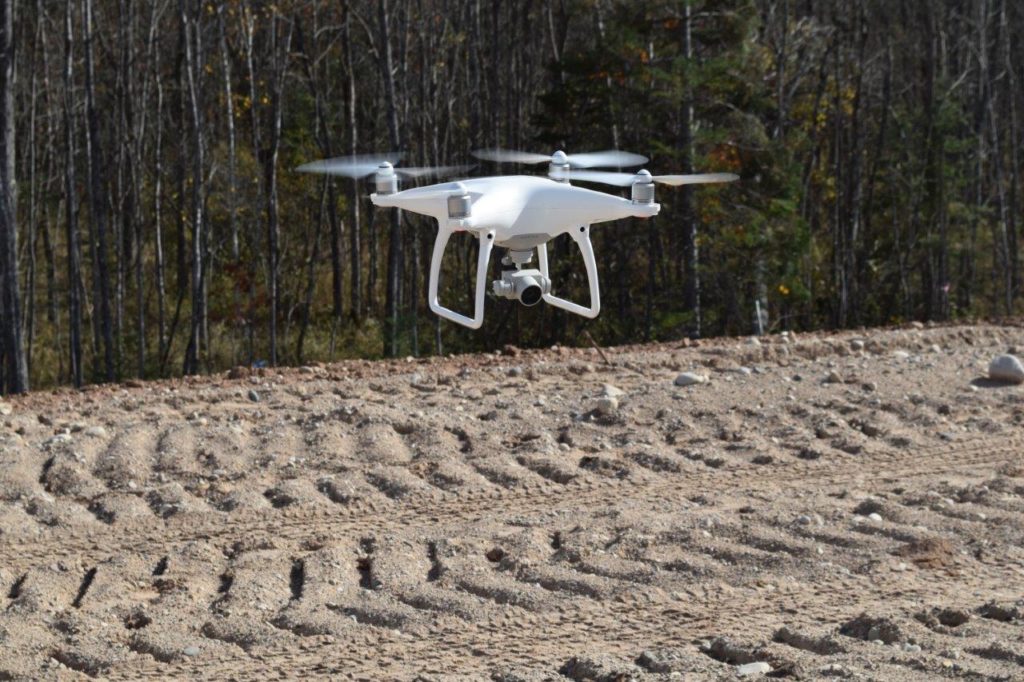
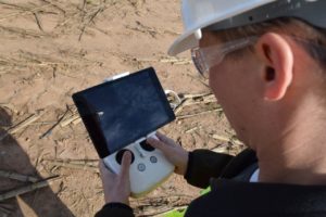
Unmanned aircraft systems (UAS) are changing the game in our industry. Drones, as they’re more commonly called, are soaring to heights that traditional information-collecting methods can’t, gathering data exponentially faster than before, and doing it all with remarkable accuracy. These are just a few of the many benefits we’re finding by bringing UAS into today’s engineering practices – and what we’ve specially trained for as Federal Aviation Administration-certified remote pilots.
The Process Begins
Just as our responsibilities at Ayres vary, so too were our motivations for wanting to pursue our remote pilot certifications.
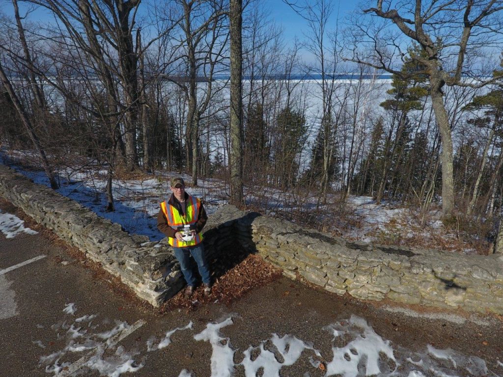
Garrick, a survey technician in our Green Bay office, was next to get his certification. Planes and aeronautical hobbies have always intrigued him, and he, too, likes to stay on the leading edge of technology. Preparing for his UAS license appeared to present the perfect professional challenge.
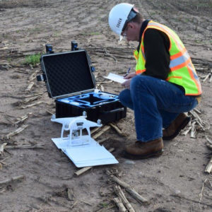
Derek, who took his test about two hours after Garrick, pursued the certification to round out his skill set as an engineering/CADD technician in the land survey group. The majority of Ayres’ UAS-involved flights are on projects he is working on, and taking an active role in their piloting seemed to be a natural next step.
Squeezing in Study Time
 With full-time jobs and personal commitments filling much of our days, it was challenging to carve out time to devote to studying. Sometimes this meant poring over printouts and reports after tucking our young children into bed, catching a webinar over a lunch hour, or watching a mapping video from home at the end of the day. We each spent an average of two hours per night studying in the weeks leading up to our exams.
The Exam
We all agree it was a challenging test, tougher than we expected and covering a wide range of topics, including airspace regulations and classifications, risk management, notices to airmen (NOTAMs), and temporary flight restrictions (TFRs).
The test also addressed sectional charts. At Ayres, we’re only allowed to operate in a Class G airspace. It’s critical we know how to read the sectional chart to make sure we remain in a Class G airspace (although we can operate in other airspace with proper waivers). All in all, our study time paid off, and all three of us passed the exam on our first attempt.
(Curious how you’d fare? Click here to test yourself with a sample question or two.)
Payoff to Clients
Bringing UAS into our existing repertoire at Ayres complements the state-of-the-art technology we’re routinely using when collecting data at project sites. It’s another tool in the tool bag that enables us to offer a unique and beneficial component to our deliverables.
Our clients will soon know the benefits of UAS when they see the value it adds and the cost savings it provides.
Our strict internal safety protocols will give our clients peace of mind with our UAS services. We complete all UAS projects in accordance with the FAA’s Part 107 guidelines, and our extensive training ensures that we fully understand and appreciate the risks involved with operating UAS equipment. Our safety protocols not only keep our employees safe but also protect our clients’ resources. Through our training, we become well-versed in identifying potential hazards, how to respond in an emergency, and how to avoid situations that could interfere with the equipment we’re deploying – protecting assets as well as people on the ground.
Ready for What’s Next
With spring and summer fast approaching, we are looking to implement this emerging technology more and more on our daily projects. Here at Ayres, we take pride in using ever-evolving advancements in technology to continue offering high-quality products to our clients. Whatever the future brings, the advances we make in the technology we use will ensure our ability to provide state-of-the-art service to our clients, who demand the best that technology has to offer.
Editor’s Note: This is the first in an occasional series about unmanned aircraft systems and their applications in the engineering, surveying, and mapping fields. Coming next: government regulations on UAS.
About the Authors
 Nearly 700 airman knowledge testing centers operate across the country. Derek Fonder and Garrick Loberger took their exams at Cavu Aviation in Green Bay.
Derek joined Ayres in 2006 as an engineering and CADD technician, where he was primarily responsible for construction observation. He transferred to the survey group in late 2014 and performs a wide variety of tasks, including topographic surveys with GPS and robotic surveying technology. He also processes and maps fieldwork and assists with construction staking and high-level geodetic control surveys.
Garrick joined Ayres in May 2013 with one year of boundary-related surveying experience. His responsibilities include performing topographic surveys using GPS and robotic surveying technology and processing and mapping fieldwork. Garrick also assists survey crew chiefs in construction staking and high-level geodetic control surveys.


Post a comment: