WROC Maps Out Next Round of Wisconsin Data Collection
 The Wisconsin Regional Orthoimagery Consortium (WROC) has been providing comprehensive geospatial data for local government and partner organizations for more than two decades – delivering critical, customized data with the greatest value for program participants.
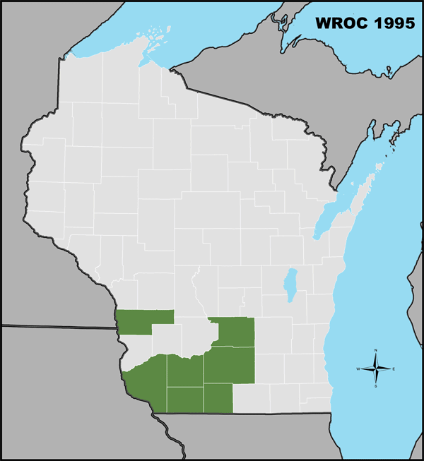
Operating in five-year cycles, this consortium program has grown exponentially. Ayres has led these grassroots collaborations for mapping consortiums in Wisconsin since 1995. Over the years, the core mission has remained consistent: Provide a systematic approach to bringing cost-effective and reliable geospatial data to the state’s land information community.
Aerial imagery and terrain mapping serve as the backbone for county land information departments and geographic information systems (GIS) throughout the state. The program has resulted in deliveries to hundreds of program participants, over 100,000 square miles of high-resolution aerial imagery, and over 35,000 square miles of terrain mapping. This information supports the day-to-day functions of many local government departments such as:
- Economic development
- Public safety and emergency management
- Planning and zoning
- Transportation
- Engineering
- Parks and forestry
- Conservation
The mapping acquired through WROC is also used by private utilities to manage facilities and assets, and it is used by state agencies to study and prepare for regional issues including emergency response and floodplain management. It is critical that these GIS data layers be updated at regular intervals so that decision-makers have up-to-date and reliable information.
One of the hallmarks of WROC is a dedication to providing participants with customized services and products. The program offerings go above and beyond the base level imagery and topographic mapping data. For example, it provides economical options for detailed mapping of infrastructure and the environment, technical training, and cloud-based data hosting.
Perhaps one of the greatest benefits is the diverse collective of users and professions making up the consortium. WROC provides opportunities for participants to share their knowledge and vast collection of geospatial data toward solving everyday issues.
The WROC mission is reinforced with continual advancements in geospatial technology and expansion of the broad partnership network. With the program’s growth, participants benefit from greater economies of scale. The greater the participation level, the more significant the cost savings and data sharing opportunities for all. With the incorporation of new technology, the community gains access to a wider range of geospatial products to serve ever-diversifying needs.
The North Central Wisconsin Regional Planning Commission recently announced its reselection of Ayres Associates to manage and facilitate this consortium into the future. Organizers are preparing for the program to bring more services to a greater geographic extent of Wisconsin. The next cycle of WROC will kick off soon with informational webinars and outreach efforts. For more information contact Bruce Ommen.


Post a comment: