The Many Benefits of Elevation-derived Hydrography
 By Tyler Kaebisch
Hydrography data is crucial to a wide range of essential applications, from infrastructure management to flood mitigation. State agencies, soil and water conservation districts, engineering departments, and more all rely on stream and river data.

About the Expert:
Tyler Kaebisch is a project manager in the aerial mapping group at Ayres, He’s managed large-scale statewide projects that apply remote sensing techniques to analyze features across the landscape and has also worked in the federal and state agency sectors, where he has more than 10 years of experience with resource inventory and monitoring programs, working with federal, state, county, and private sector partners.
Yet, in too many instances, watershed data is grossly outdated and doesn’t accurately depict where the true flow of water is on the landscape and doesn’t align well with current USGS 3DEP elevation data.
Why? Because water features are dynamic and change over time with major flood events and human developments and modifications, like agriculture and construction of roads, bridges, culverts, and dams.
What Solutions Exist to Improve Stream Inventories?
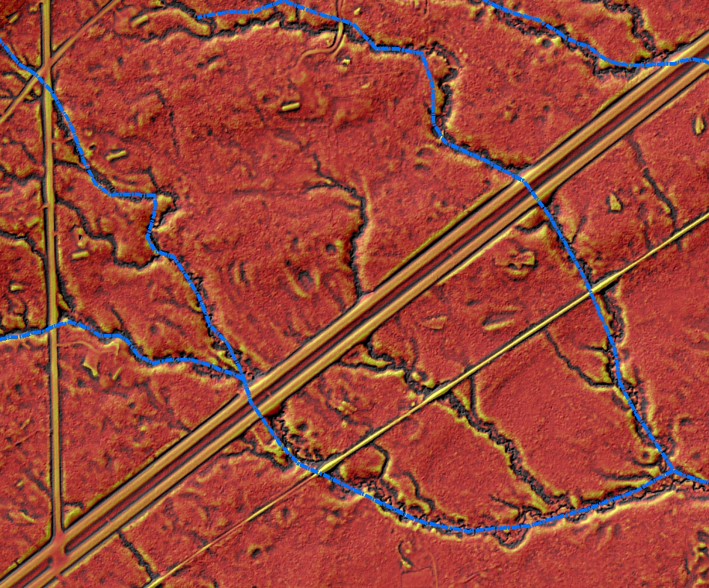
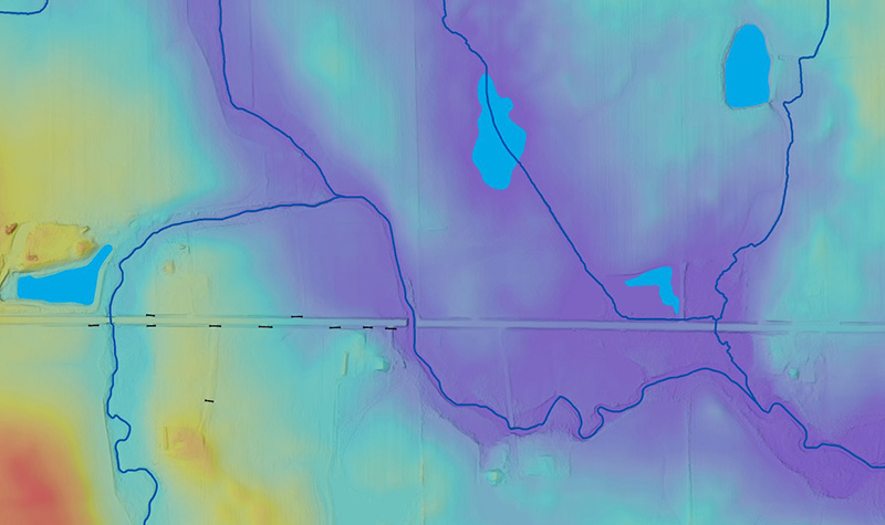
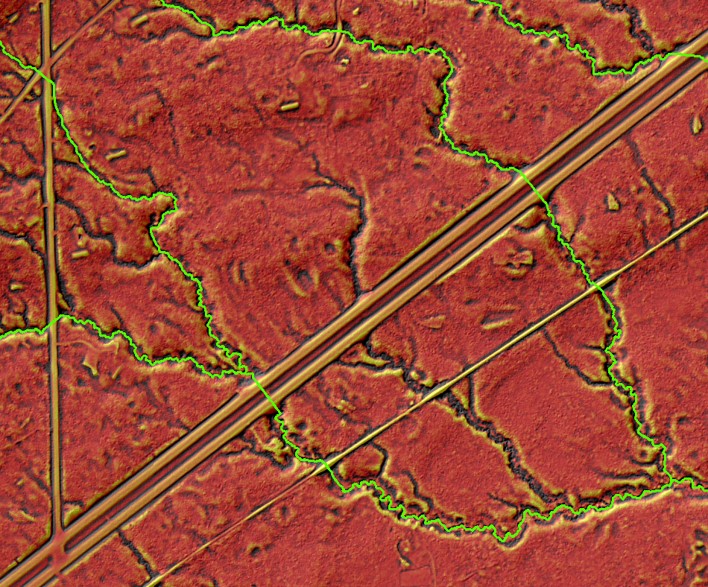
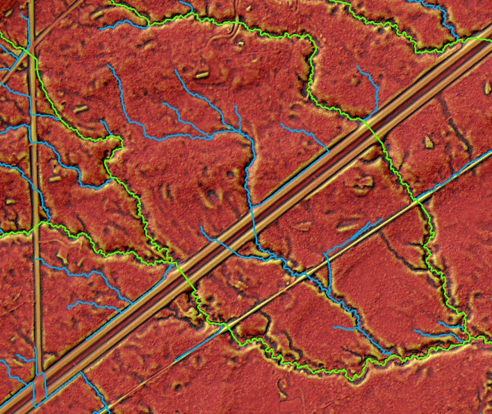
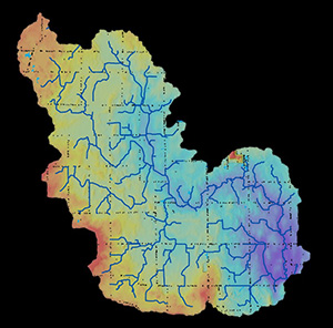
Elevation-derived hydrography can update stream inventories to reflect the true flow of water across a landscape. The process works by taking a bare earth lidar DEM (digital elevation model) and hydro-modifying or “burning” in the known culvert inventories and digital dam locations. This allows for creation of a new DEM – a hydro-DEM – and the ability to replicate the actual flow that’s visible through the landscape today.
Elevation-derived hydrography from lidar can greatly increase the accuracy of water features flowing across the landscape. By integrating multiple datasets, such as culvert inventory locations and lidar DEMs, stream networks across counties and states can be updated to represent the current, concentrated flow of water features across the landscape.
Who Will Benefit from Updated Hydrography Data?
Elevation-derived hydrography from lidar can be used to update current inventories, such as the state 24k Hydrography or the USGS National Hydrography Dataset, widely regarded as the most comprehensive hydrography dataset in the country.
Looking forward to the Next Generation of nationwide hydrography mapping, elevation-derived hydrography products can be integrated into NHDPlus High Resolution Datasets, which replicates stream networks at the 1:24.000 (24k) scale level or better.
Standardizing stream and river inventories to align vertically, horizontally, and temporally with USGS 3DEP lidar products will support national and regional planning and engineering issues.
State and local county partners will benefit from updated stream networks for a variety of transportation and engineering projects, urban and regional planning and development projects, natural resource management and conservation efforts, critical infrastructure and construction management projects, agriculture and riparian area management, flood mitigation, water quality and resource management, and wildlife management.
What Downstream Products May Potentially Come from Modernized Hydrography Data?
The resulting products available to users from more current, accurate hydrography data are vast, some of which include:
- Culvert location inventories
- Hydro-modified digital elevation models (DEMs)
- Updated stream and river centerline data
- Topographic riparian management areas
- Closed depression mapping across the landscape
- Erosion and deposition models
- Updating hydrography models
- Critical infrastructure and asset modeling
This important hydro data has the potential to help determine future hydrology and flood hazards – and conduct so many other types of analyses as well.
For more information regarding elevation-derived hydrography or for general geospatial questions, contact our Geospatial experts.


Comments are closed.