Struggling with Data Storage? Cloud Hosting May be Your Solution
 By Zachary Nienow, GISP
Think for a moment about the typical digital photos you take on your personal camera or cell phone. Each selfie, vacation picture, or candid shot of your kids is likely 5 to 10 megabytes in size.
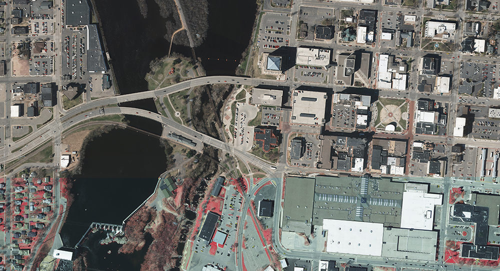
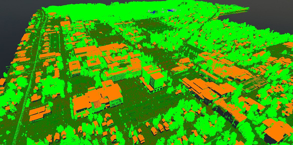
Now imagine a typical countywide high-resolution orthoimagery project, which can be up to 1 terabyte. That’s 1 million megabytes. In other words, it’s massive, and it becomes even more massive (more like 2 terabytes) if done in combination with a lidar (light detection and ranging) project.
In the past the only way to deliver this much data to clients would be to save these colossal files onto 2-terabyte hard drives. Those datasets would then need to be downloaded onto the clients’ servers and into their GIS, and that county or municipality would need to respond to any incoming data requests – and redistribute the data to the requesting surveyors, engineers, planners, or local residents.
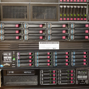 Because of the dataset’s size, you couldn’t simply hand them a copy of the data; it would be too big for them to handle. It would also be impractical to move over a terabyte-plus of data again and again upon request. The likely next step would be to go in and select, tile by tile, the project area of interest, extract that data from the database onto your server, copy it to a thumb drive or hard drive, and share the filtered data with them.
Fortunately, there’s an easier way. Thanks to cloud-based hosting, large imagery and lidar datasets can now be downloaded via a web map.
What are the benefits to cloud-based hosting?
The solution incorporates an interactive map into the download process. Users – whether staff from a department within a governmental entity or a member of the general public – can follow a link in their web browser to a map with a tile grid overlaid on a base map. Once there, they can choose the orthoimages, topographic contours, or digital elevation models they’re interested in downloading. The information automatically downloads onto their computer.
Cloud storage can drastically reduce the number of data requests coming into an agency’s office. It also simplifies delivery of the data and more quickly gets important geospatial data into the hands of the decision-makers who truly need it.
It’s also a low-cost solution, reducing the need for increased IT infrastructure to accommodate the gigantic geospatial datasets.
All that data sitting in cyberspace? How safe is that?
Rest assured, cloud storage is safe, reliable, and secured by multiple layers of user authentication. Cloud services have secure sockets layer (SSL) technology for encryption for data transfers between the cloud server and the web. It’s so safe, in fact, that health care providers and federal agencies rely on it to store and share their sensitive data.
How long has Ayres been offering cloud storage?
Ayres has been exploring a cloud-based storage solution since 2014 and has used this type of approach in multiple projects through the years. We’ve found the initiative to be driven largely by client need. Making these huge datasets openly accessible to the public is a goal of the Wisconsin land information community, and there’s been a recent trend toward doing this industrywide as well. (I plan to share details of a recent project in Buffalo County, Wisconsin, at the upcoming Wisconsin Land Information Association annual conference. Check out the video below for a preview of the session I’m co-presenting with Buffalo County’s Jason Poser).
If you’re looking to maximize the value and usage of a geospatial dataset – but are challenged on how to make it readily available to the public – consider cloud hosting. Ayres can provide you with a customized, cloud-based solution and will facilitate and manage the storage and hosting of your imagery and lidar data. And you can still use your own web-based mapping application to control access to imagery and lidar data.
Join me at the WLIA annual conference in March to learn more, or contact me to discuss cloud hosting in more detail and determine whether it’s the answer to more effectively deploying your organization’s geospatial data.
Zachary Nienow is a geospatial project manager at Ayres Associates with extensive experience in digital mapping, GIS, and project management. He designs and leads lidar and orthoimagery projects from planning through flight and then data processing, quality control, and completion. He serves a diverse range of clients in the private and public sectors, including many counties and municipalities in Wisconsin. As program manager for the Wisconsin Regional Orthoimagery Consortium, Zachary is part of a team completing orthoimagery and lidar projects for over 100 members and partners.


Post a comment: