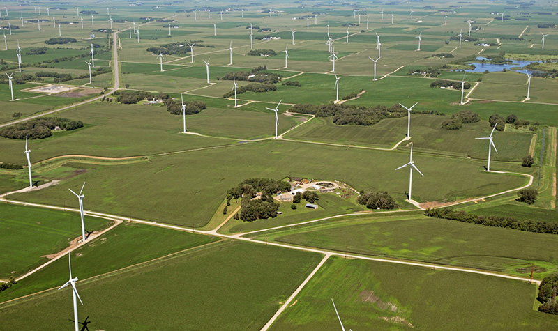
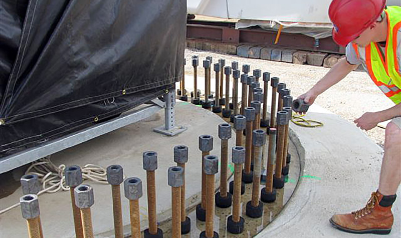
Whispering Willow Central Wind Farm
« Return to Project Search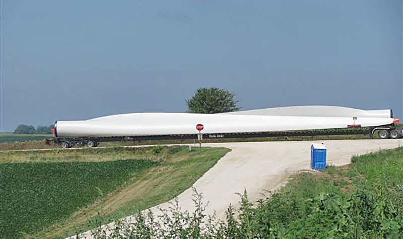

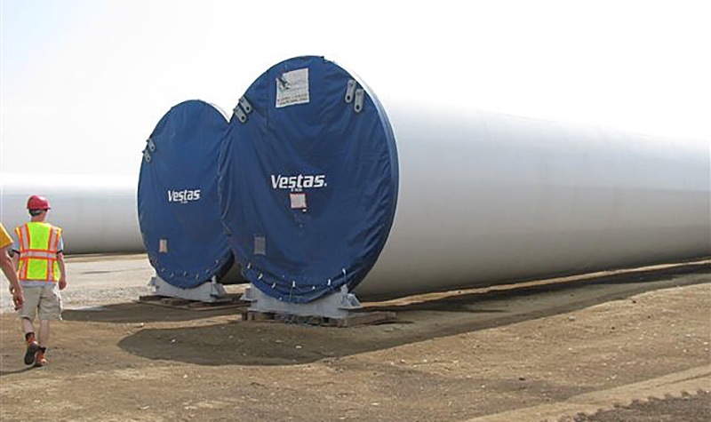
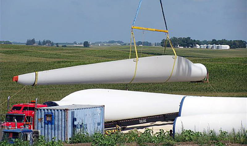
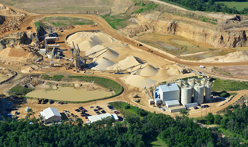
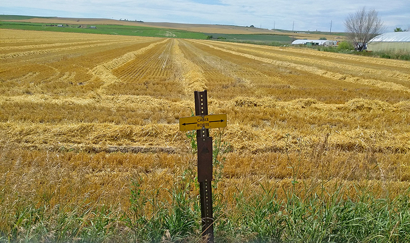
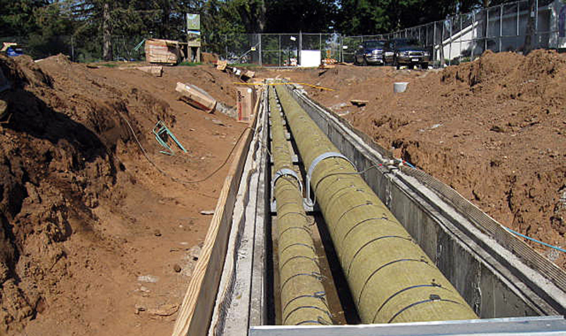
Ayres teamed with HDR to provide Alliant Energy with civil design, land survey, aerial photogrammetrics, and lidar (light detection and ranging) data for the Whispering Willow Central Wind Farm project in Franklin County, Iowa.
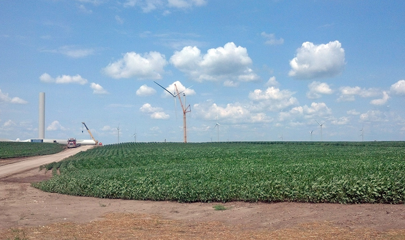
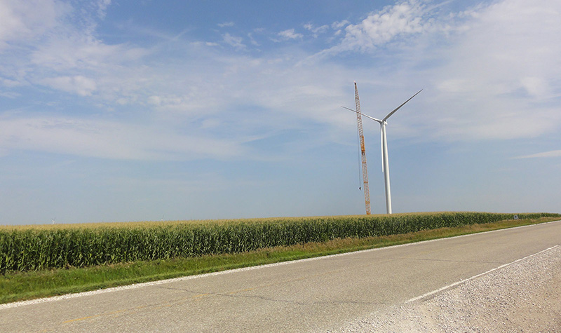
The project consisted of 60 turbines spread over a 50-square-mile area. Civil design tasks included the design of access roads, crane pads, turbine lay-down areas, and crane paths. Coordination with the foundation designers was critical in determining foundation elevations that allowed for economical construction of access roads and assembly areas that minimized earthwork, as well as providing site plans that matched surrounding topography upon completion of construction.
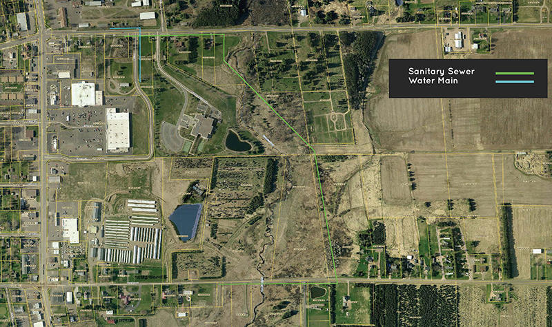
Land survey was provided for ground control for aerial survey, supplemental topography, turbine staking, boundary survey, and other miscellaneous needs.
Aerial survey included natural color aerial vertical photography and digital planimetric and topographic mapping at a scale of 1″=200′. The following planimetric features were collected: roads, railroads, buildings, power poles, transmission lines, lakes, ponds, streams, creeks, rivers, drainage ditches, tree lines, property fence lines, and apparent field lines. Mapping met National Map Accuracy Standards. The lidar products were capable of generating a bare earth surface for the creation of 2-foot contour interval mapping.
Project Information
Client's NameAlliant Energy
LocationFranklin County, IA
Primary ServiceCivil + Municipal Engineering
MarketEnergy + Utilities + Tech


-WEB.jpg)


 - WEB.jpg)