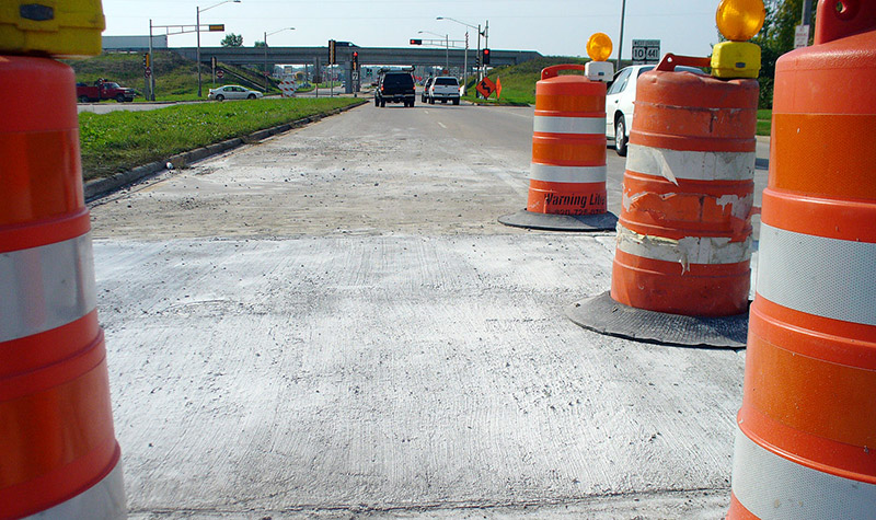
Potholes: How They Form and How They Can Be Prevented

Whether traveling on local streets, rural roads, or busy highways, nothing is more satisfying to a driver than a long stretch of smooth road. Conversely, nothing is more aggravating than a route peppered with potholes. Unfortunately, without proper road maintenance, the latter can become the norm rather than the exception ― and in addition to… Read More »
Tags: Asphalt, base course, patching process, pavement preservation, pothole prevention, Potholes, subgrade
Breaking Down the Zipper Merge
By Nathan Silberhorn, PE Here’s the scenario: signs warn that a lane of traffic will close soon, and two lanes of vehicles will be narrowed to one. Some drivers merge early and get to the through lane as fast as possible, then wait for traffic to advance. Others don’t seem to have a problem zooming… Read More »
Tags: Freeway Interchanges, Lane Closure, Merging, Traffic, Traffic Backup, Transportation Engineering, Zipper Merge
UAS Oblique Imagery Helps in Design and Monitoring of Projects
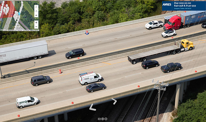
By Paul Crocker Drones have revolutionized managers’ ability to collect updated imagery for project design and construction monitoring. While the standard nadir (straight down) imagery and lidar is commonly used for topographic mapping and planimetrics, oblique imagery is another valuable option to build a complete picture of the project site. About the Expert: Paul Crocker,… Read More »
Tags: 360-degree Panoramic Images, 3D Models, Drones, Metric Camera, Nadir Imagery, Orthomosaic, Phase One Camera, Planimetrics, Topographic Mapping, UAS, UAS Oblique Imagery, Unmanned Aerial Systems