Mapping Acquisition Flights Cover 43 Wisconsin Counties in 45 Days
 On Thursday the final flight lines of the Wisconsin Regional Orthophotography Consortium (WROC) 2015 program were flown, and that means some really useful mapping and data will be on its way to more than 100 clients across Wisconsin by the end of the year.
The WROC contractor team of Ayres Associates and Quantum Spatial deployed 10 aircraft with precision aerial sensors over dozens of counties to capture the imagery in a short window of opportunity after snow had melted and before leaves had emerged on vegetation.
WROC is a multi-entity group whose goal is to build and sustain a multi-participant program to acquire digital orthoimagery and elevation data throughout Wisconsin, for use in tasks ranging from tax assessment to emergency management. WROC 2015 marks the fifth time a regional consortium has worked together with this goal in Wisconsin, dating back to 1995. You can read about the 2010 WROC program here.
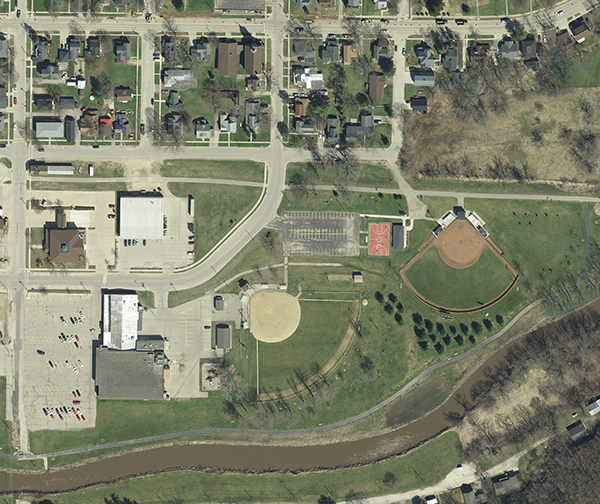
The spring imagery flights kicked off on March 17. Over the next 45 days, the WROC team collected high-resolution imagery over 43 member counties. On separate missions the team collected aerial lidar (light detection and ranging) for topographic mapping over 13 counties.
Ayres’ geospatal services division and Quantum will process the new aerial imagery to create highly accurate orthoimagery that will be ready for delivery later this year. The orthoimagery is a critical data layer for tax assessment, engineering, planning, parcel mapping, and emergency management applications for county land information departments in Wisconsin. In addition, many municipalities took advantage of the program to collect higher-resolution imagery and lidar for city planning and engineering purposes.
WROC partners are chipping in to help fund the imagery and lidar projects in exchange for access to the spatial datasets. Partners include utilities, electric cooperatives, tribes, municipalities, and state and federal agencies.


Post a comment: