Chicago Area Geospatial Mapping is a Study in Coordination
 To say the airspace over Chicago is busy and complex would be an understatement. That fact was realized nationwide in late September after a fire in an air traffic control center forced thousands of flight cancellations and threw commercial air travel into disarray for more than two weeks.
Ayres Associates’ geospatial mapping specialists are fully aware of this active airspace. Our staff has been coordinating flights to acquire aerial imagery over and around Chicago since the 1990s for the Illinois-based GIS Consortium (GISC).
The GISC is a group of more than 25 communities in the Chicago region that work together to develop GIS solutions to support a wide range of applications, including municipal engineering, planning, forestry, and public safety.
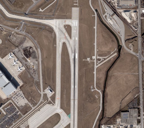
Most of the GISC falls within a 10-nautical-mile radius of Chicago’s O’Hare International Airport, the nation’s second busiest airport with more than 1,100 daily flights. Also included in the complexity of scheduling flights are the nearby Midway International Airport and other regional/local airports.
Each aerial photography acquisition flight requires extensive advance coordination and approvals from the Federal Aviation Administration (FAA), Terminal Radar Approach Control Facilities, and O’Hare Air Traffic Control Tower. Further complicating matters, President Obama often flies to and from his home city, causing temporary flight restrictions, which add another dimension to security restrictions.
On a project level, the coordination includes planning for optimal flying conditions and seasons needed to acquire imagery. Ayres staff must continually monitor weather and seasonal changes to make sure the GISC imagery is accurate and shows the appropriate level of detail and scale so we can create useful mapping products for our clients and fulfill our contract obligations.
“Jason Krueger helped communities in the GIS Consortium understand the schedule and explained adjustments in a timely way,” says Chris Tomich, village engineer for Morton Grove, which hired Ayres to provide mapping in 2012. “It was apparent to me that working with O’Hare’s control tower was a difficult task that required an extraordinary effort from Jason.”
Our work for the GISC represents one of Ayres’ most complex geospatial programs and exemplifies our background in performing large-scale mapping in urban areas. The GISC recently reselected Ayres Associates as its geospatial provider through 2018. Jason Krueger manages the GISC projects.
For more details about these projects, check out our project profile. And for more information about our diverse geospatial mapping services, please read more here.


Post a comment: