A Decade of Changes in Infrastructure Design
 With another decade in the books – and a new one starting up – it’s time to look back on some of the most interesting questions in the architecture/engineering world that technology has answered in the last 10 years.
What Will the Finished Project Look Like?
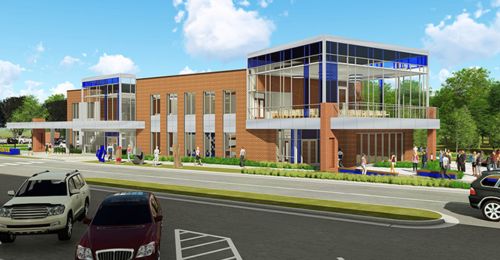
How can most people (who aren’t engineers or professional designers) get a good idea of what projects will look like when finished? Realistic and immersive imagery is a great way to start. 3D renderings, flythroughs, and printed models are bringing concepts to life and giving clients and stakeholders a peek into the future – it’s become a vital way to show conditions and ideas. These vivid animations have increased engagement and investment, while helping ideas develop and letting stakeholders see how the project might also affect the surrounding area. Enabling stakeholders to clearly see what a project may look like when it’s done helps them reach consensus faster – and saves money.
Tools like HD scanning allow surveyors to quickly and accurately scan existing building or site conditions digitally in 3D, and then feed that data into a BIM model to help clarify complicated or small spaces. The scan even captures the colors and textures of the existing item. Using this technology increases efficiency and can find potential conflicts early on in the process, saving time and money.
How Can We Get a Clearer Picture of Our Site?
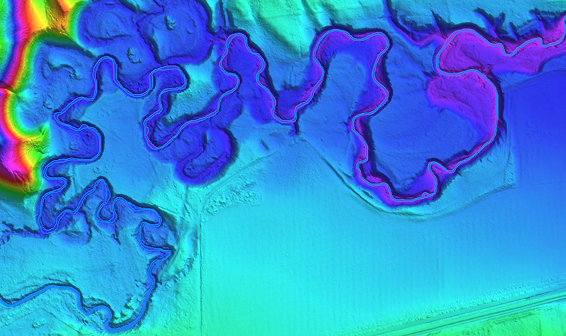
The increasing affordability of penetrating radar has meant engineers and architects have a better way to determine thicknesses of material that can’t otherwise be measured – such as discovering (without destroying) what kind of reinforcing material is present but concealed behind an existing concrete slab or wall, or where underground utilities are located. Getting this inside look at what’s hidden behind walls or underground often prevents potentially costly problems and can help keep a project on schedule by giving engineers and architects a clear view of unseen elements that could affect the project.
Hydraulic engineers are predicting how water will flow using computational fluid dynamics, with models that solve complexities that traditional 1- and 2-dimensional modeling never could – reducing risk and uncertainty for dams, stormwater structures, and other projects that depend on knowing what’s going to happen with water.
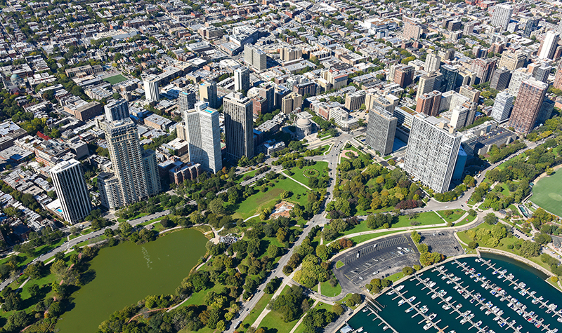
Advances in geospatial technology mean aerial imagery is clearer and can be more focused on what’s important to the client; for example, the Ayres aerial mapping group was recently able to provide extremely detailed information to our Colorado civil engineers that they used in developing accurate hydraulic modeling on a very complex bridge project.
How Can Remote Teams Work Efficiently?
How do you get everyone on the same page when you’re not all in the same room? Screensharing apps have become ubiquitous and programs like Skype mean clients and designers can collaborate in real time without taking a road trip; that saves time and money without sacrificing communication.
On the software side, 3D BIM allows multiple people to work in the same file, and clash detection alerts designers when things look like they won’t line up, so potential errors are caught sooner and team members are caught up more easily on what everyone else is doing.
Though they range from discovery and design to how we communicate, everything on this list can help simplify and clarify how ideas are conveyed; how projects will affect people; and how engineers, scientists, and other professionals are finding innovative ways to solve a multitude of problems.
What’s next? We’ve got ideas on where the industry is going in the next 10 years. Reach out to us and let’s explore the future together.


Post a comment: