Can Mapping Save Lakes from Perils of Soil Erosion?
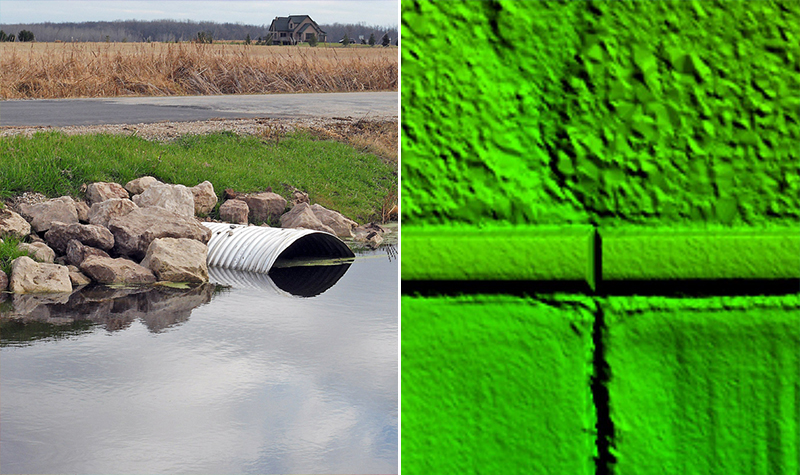
By Zachary Nienow, GISP Culvert mapping and culvert asset management have been hot topics at the local, state, and even federal level lately. Runoff from rainfall events can carry nutrients away and transport soil to rivers and lakes. Site-specific and watershed-based factors can impact erosion, leading to sediment loading and other water and aquatic habitat… Read More »
Tags: Aerial Mapping, Culvert, Culvert Mapping, Digital Mapping, EVAAL, Geospatial, GIS, Hydraulics Analysis, Hydrology Analysis, LiDAR, Mapping, Orthoimagery, Soil Erosion
Complete Streets Safely Serve Everyone
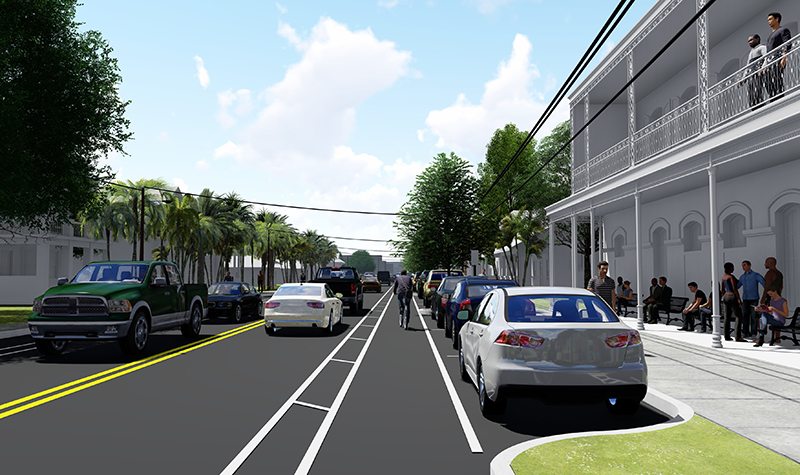
Complete Streets are created for everyone. Traditionally, roadways were primarily designed for motor vehicles. Over time, roadway design has evolved to include multimodal transportation concepts and features. The forerunner of Complete Streets policy was introduced in 1971 by the Oregon Department of Transportation, which required that new roads accommodate bicyclists and pedestrians. Since then Smart… Read More »
Tags: Bicycle Accomodations, Complete Street, Ease Congestion, multimodal transportation, Neighborhood Greenways, Public Transit Accomodations, Sidewalks
Grants Spark Turning Point in Brownfield Cleanup
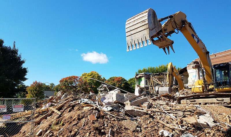
The U.S. Environmental Protection Agency will award millions of dollars for assessment, cleanup, and planning activities for brownfield sites later this spring. The submittal deadline is January 31, which means now is the perfect time … to start planning for next year. Having a grant strategy aligned with the goals of the community and its… Read More »
Tags: Assessment Grants, Brownfield, Brownfield Grants, Communitywide Assessment Grants, EPA Grants, Grant, Grant Cycle, Grant Strategy, Grant-Funded Projects, Grants, Strategic Grant Funding