Langlade County Online Lidar Services
« Return to Project Search
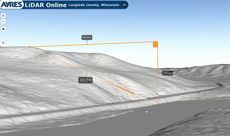
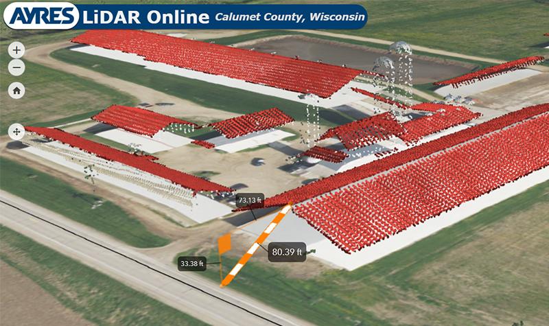
Langlade County has worked with Ayres for several years to acquire countywide lidar and new high resolution orthoimagery. These geospatial datasets are very large to store and thus slow to serve up to internal departments and to the public. To solve this issue, Ayres worked with the County to develop a web-based solution that was easy to use. The online application, called Ayres Lidar Online, optimizes imagery and lidar datasets to facilitate quickly viewing images and taking 3D measurements.
Users can access the county’s imagery and lidar even if they lack GIS software and expertise. They can use this site to research such things as setbacks for planning and zoning, height restrictions relating to Federal Aviation Administration compliance, and slopes as they relate to erosion and drainage.
Project Information
Client's NameLanglade County
LocationLanglade County, WI
Primary ServiceGeospatial
MarketLocal Government