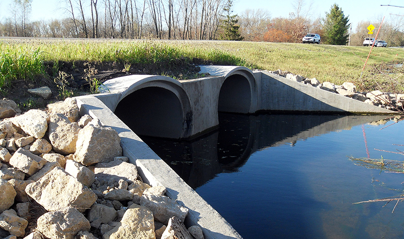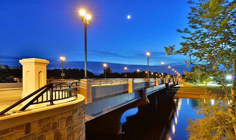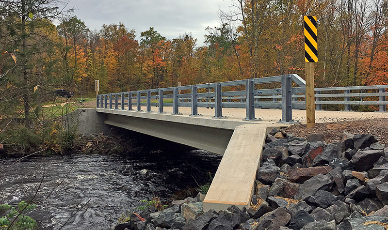
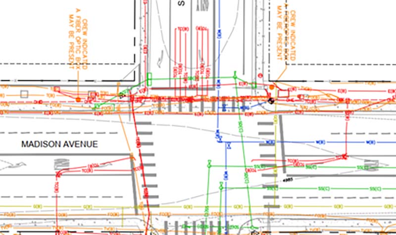
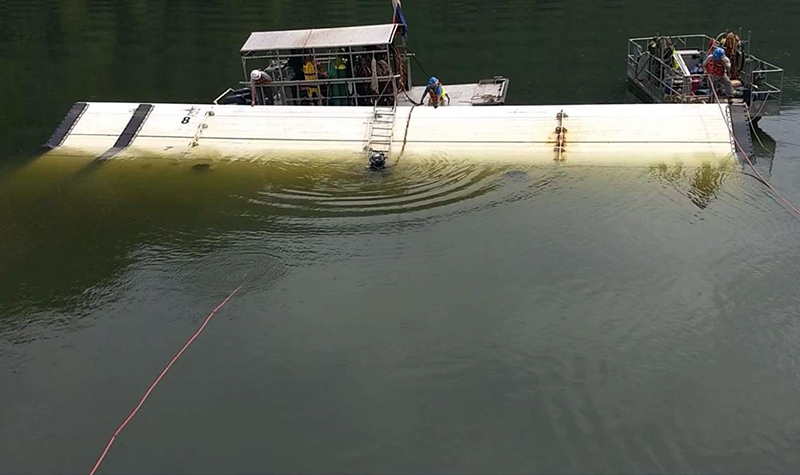
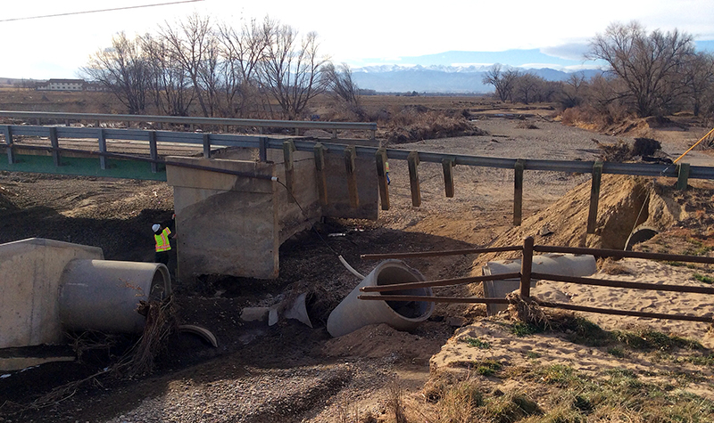
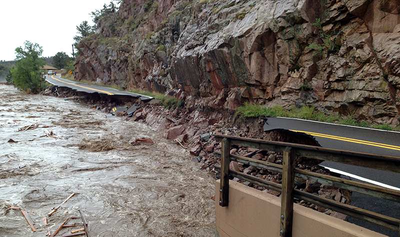
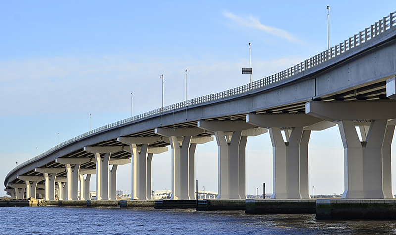
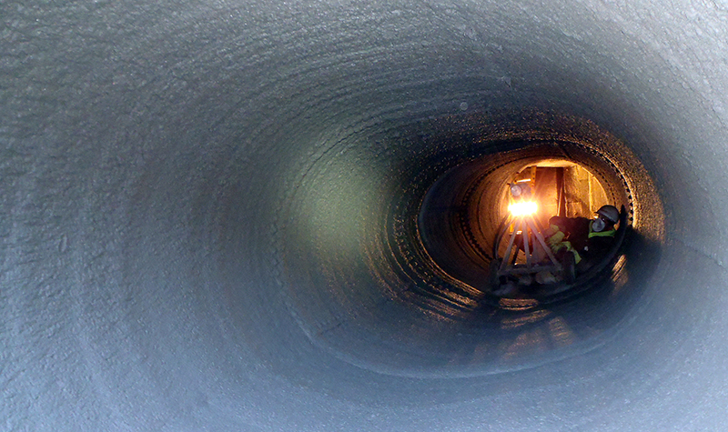
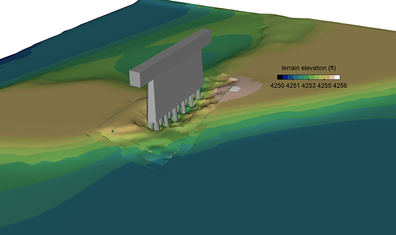
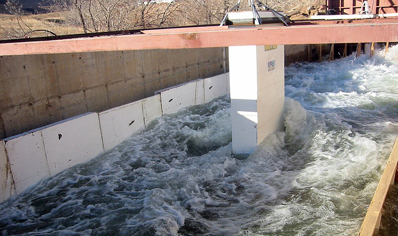
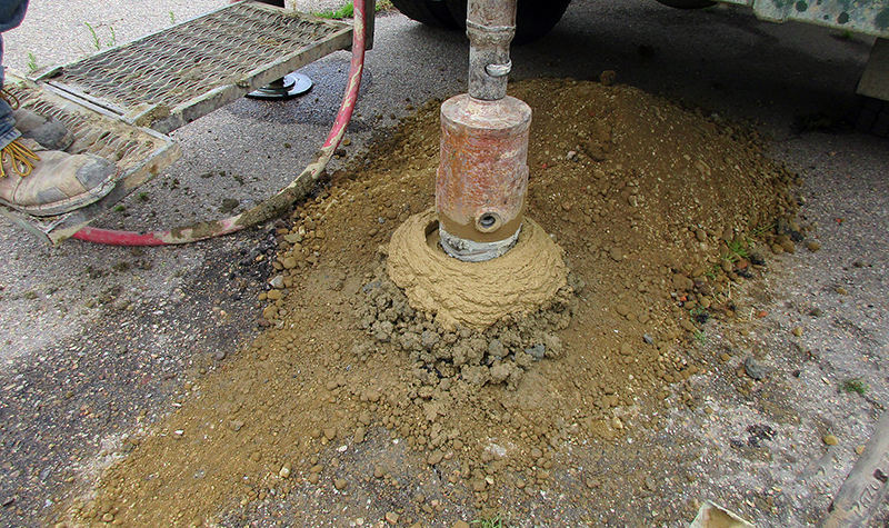
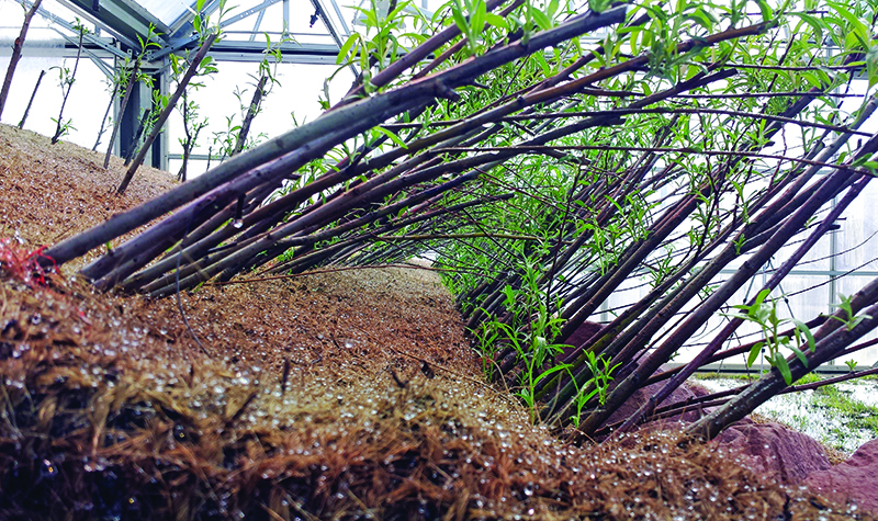
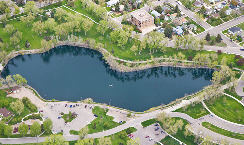
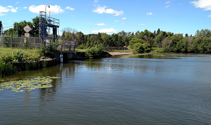
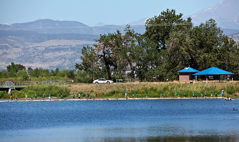
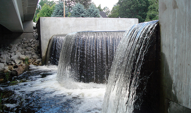
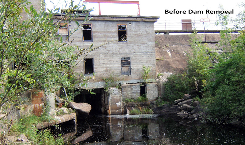
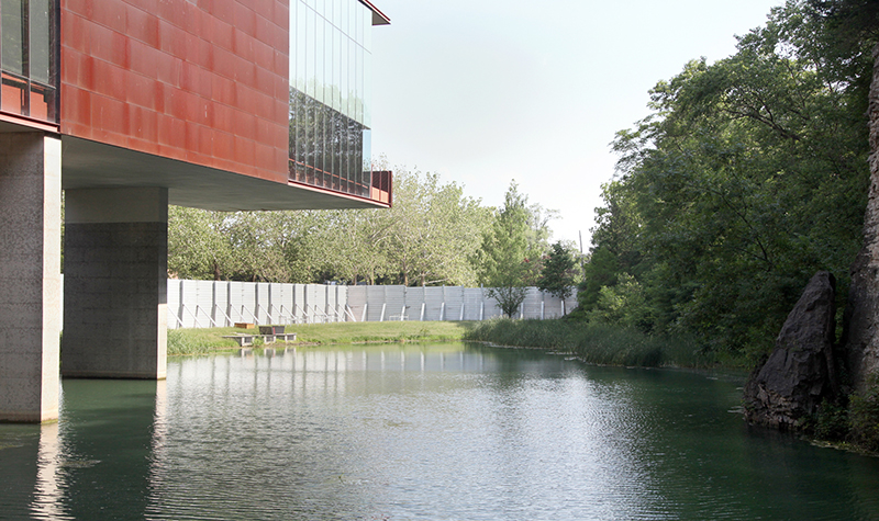
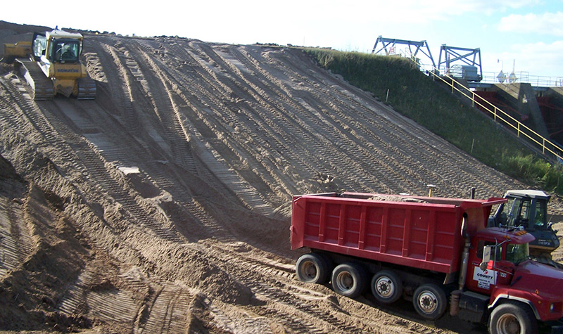
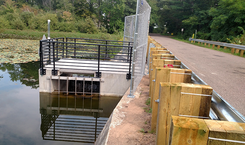
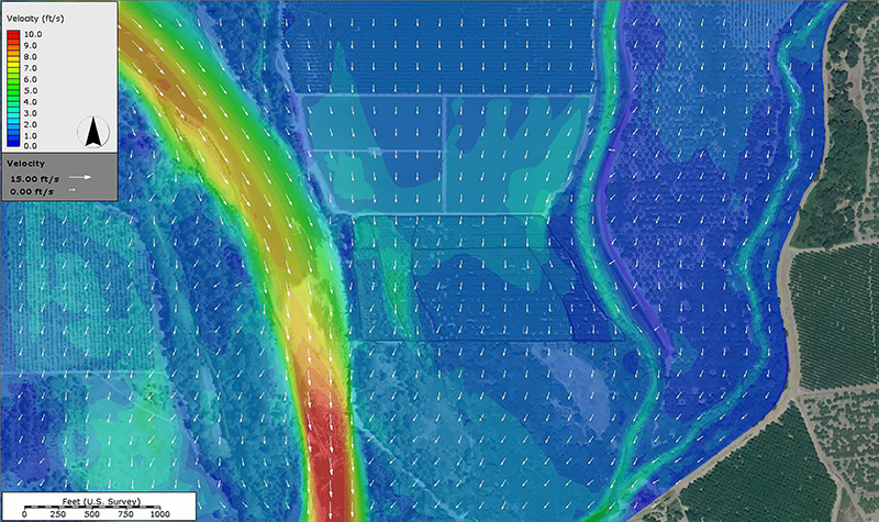
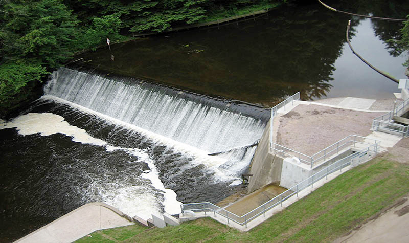
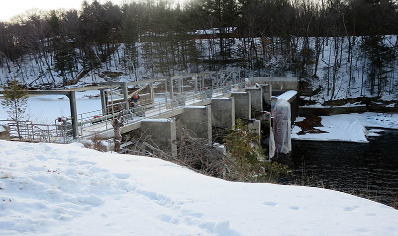
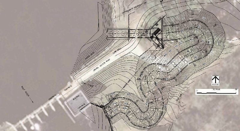
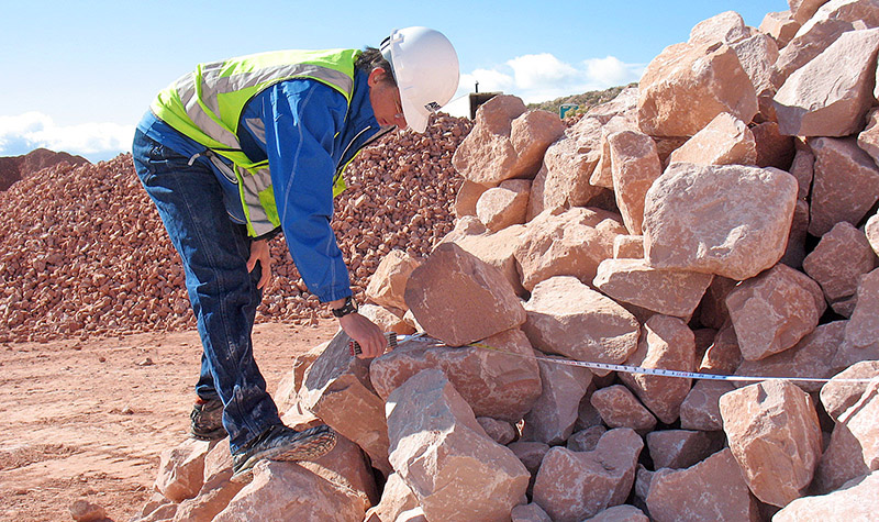
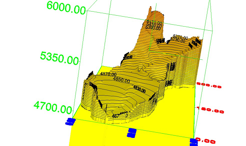
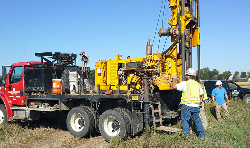
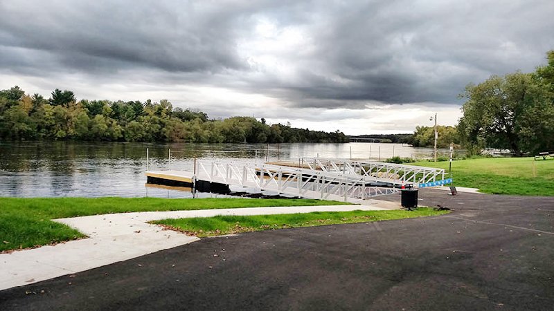
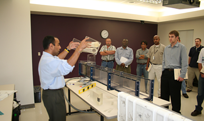
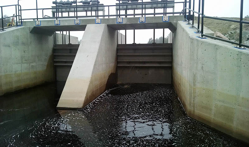
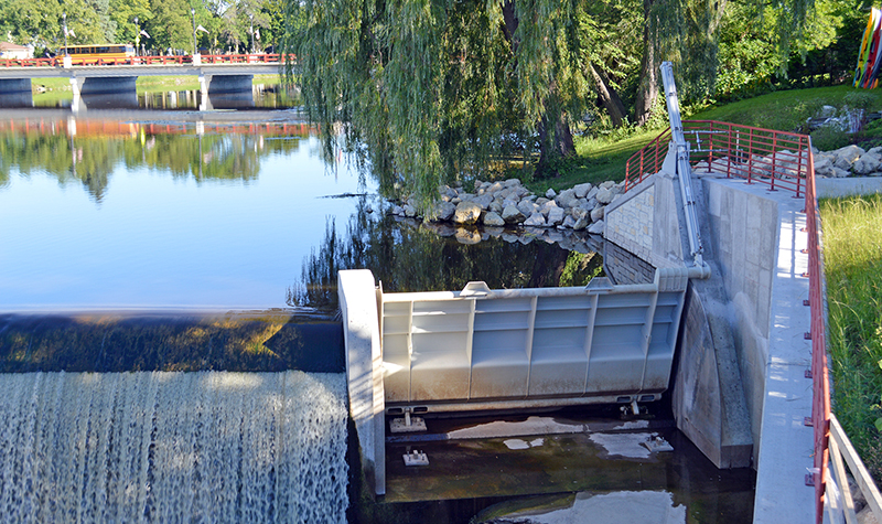
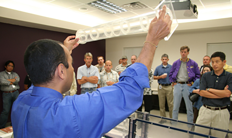
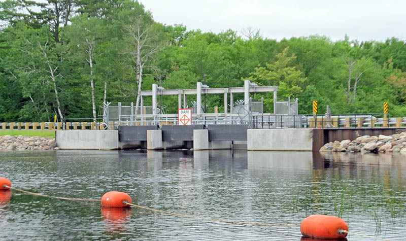
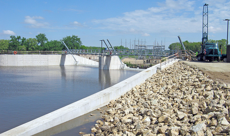
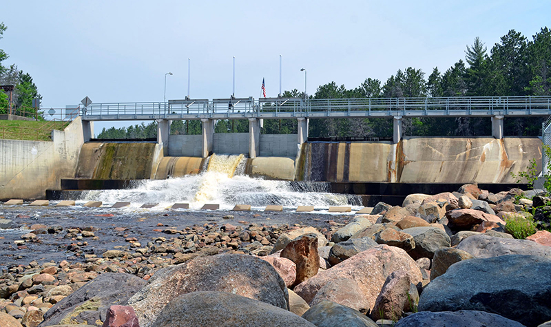
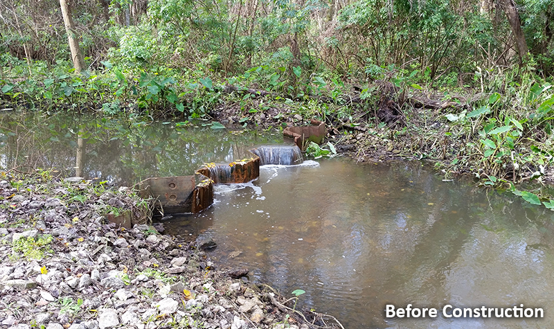
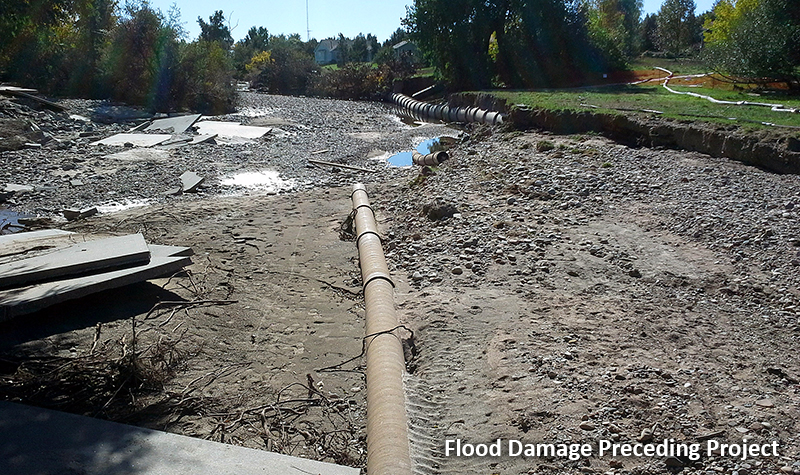
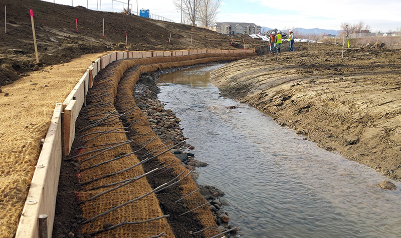
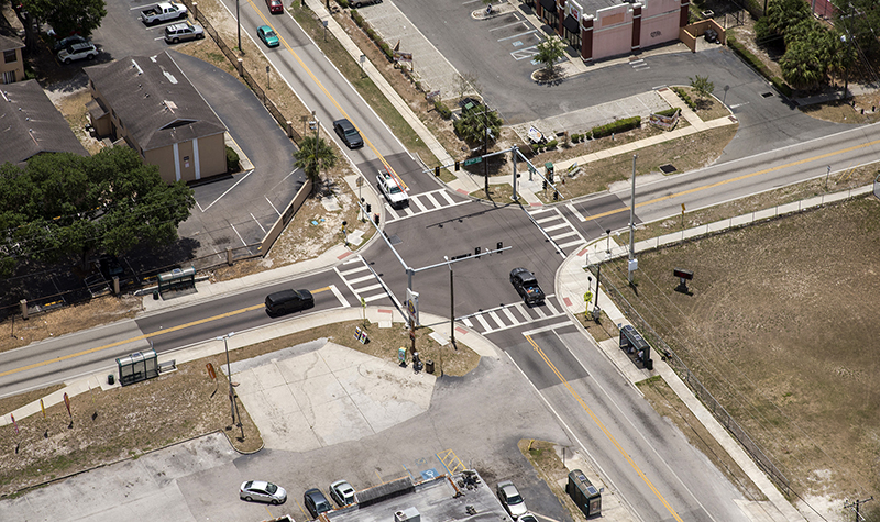
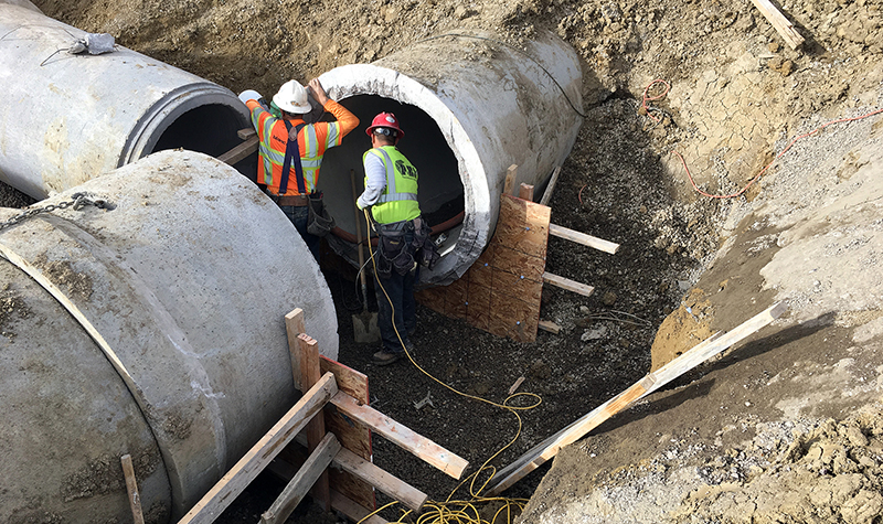
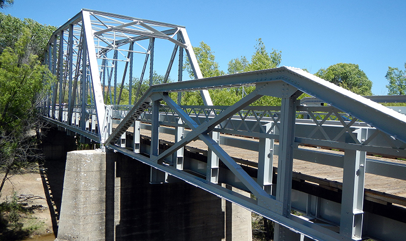
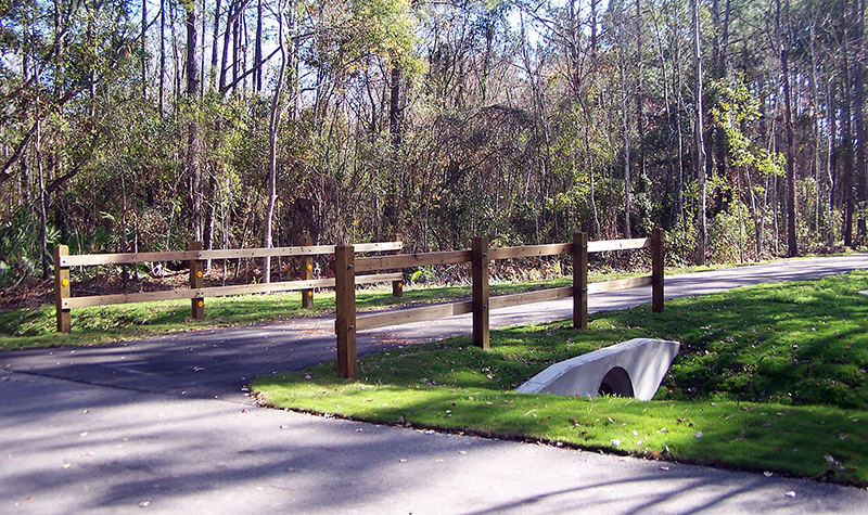
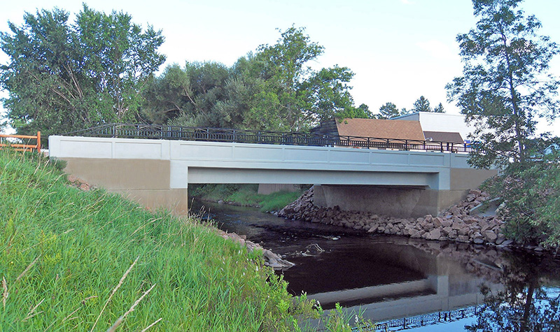
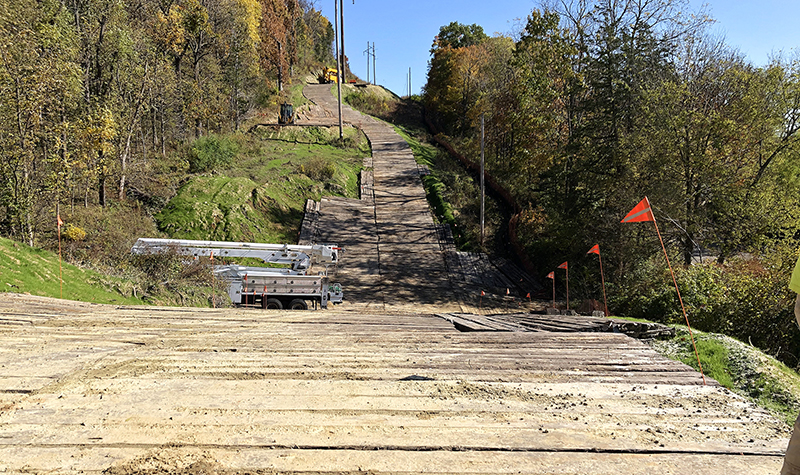
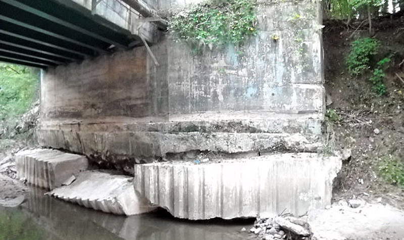
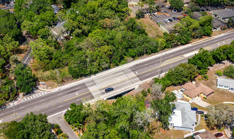
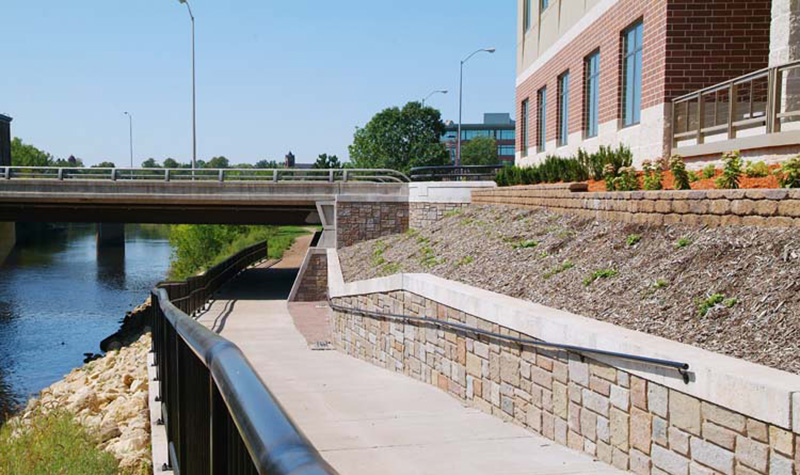
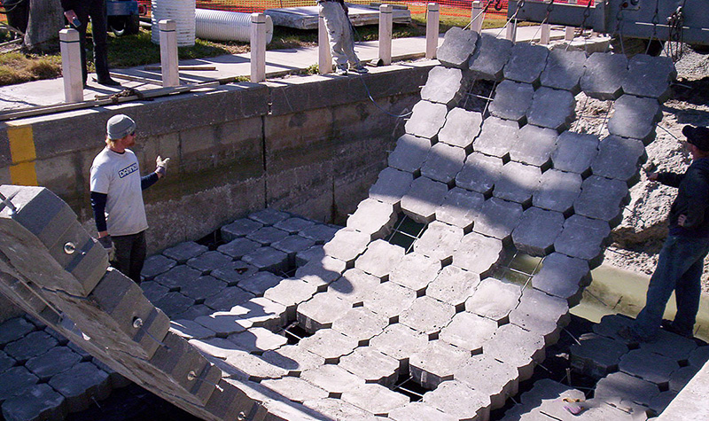
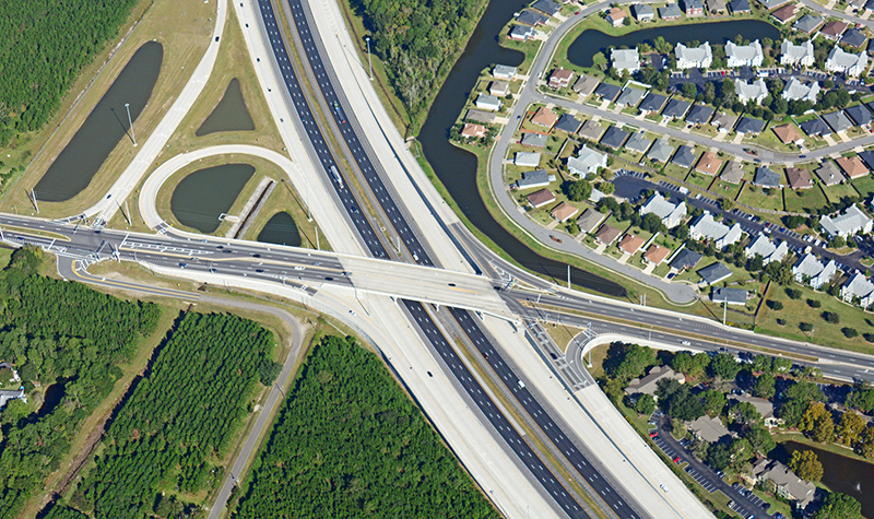
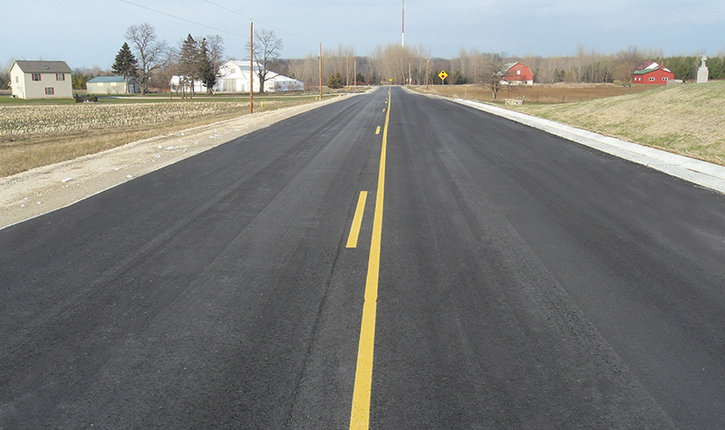
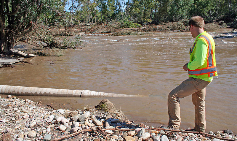
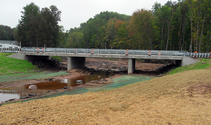
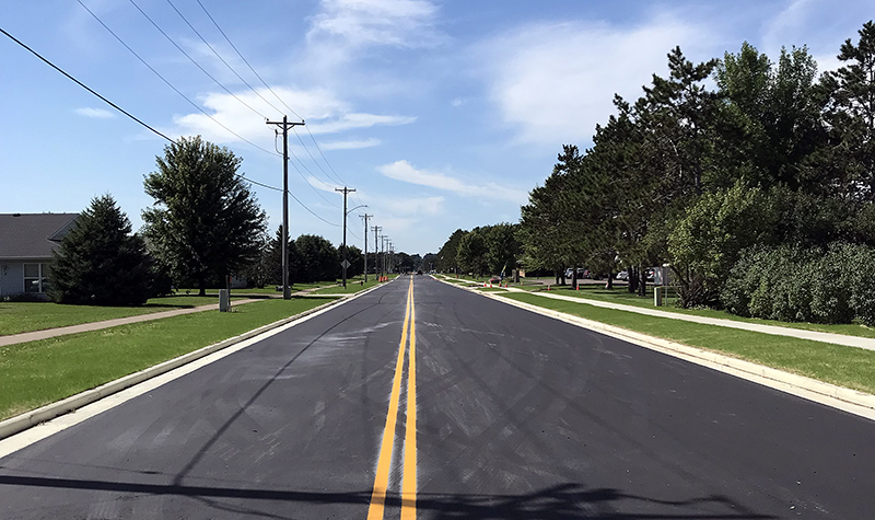
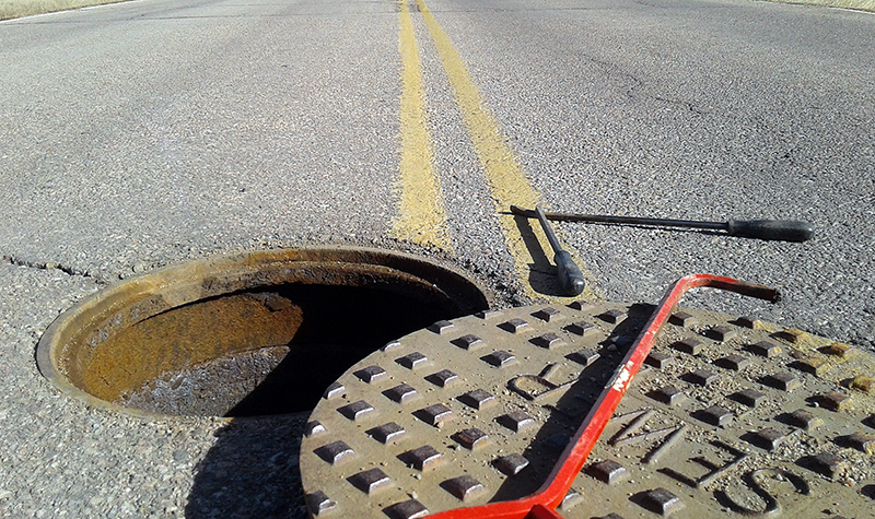
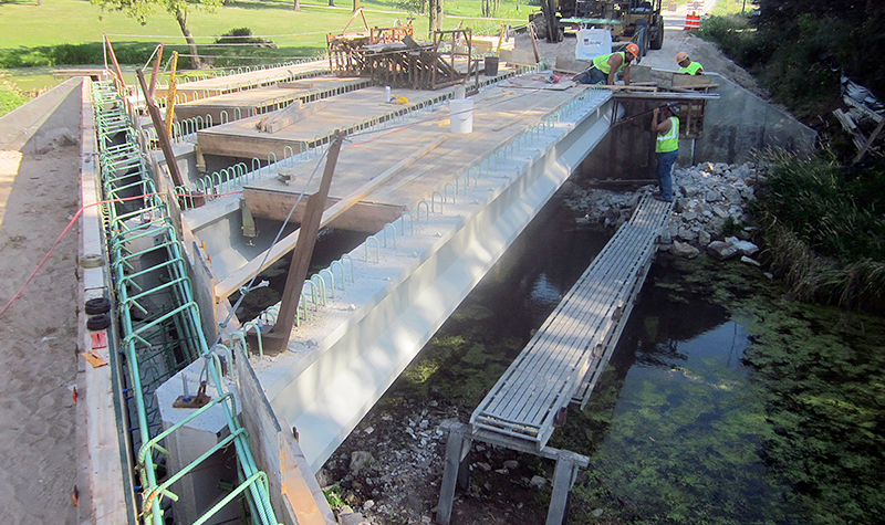
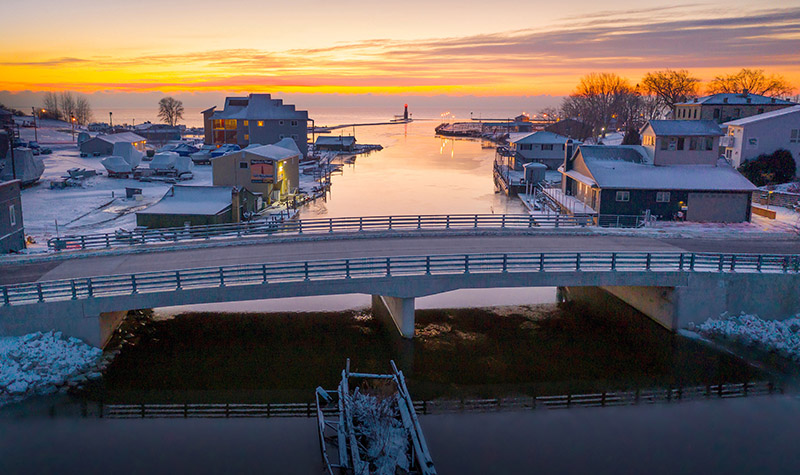
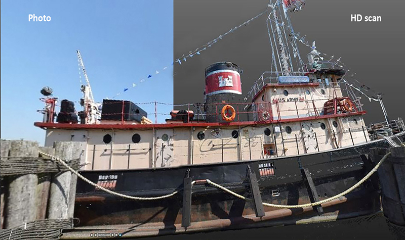
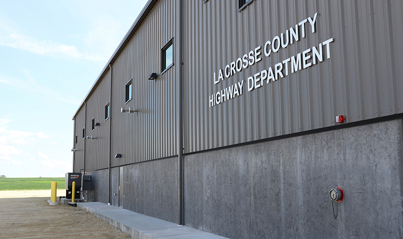
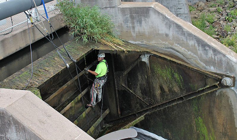
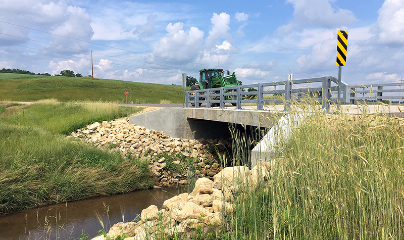
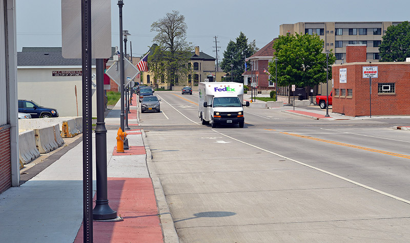
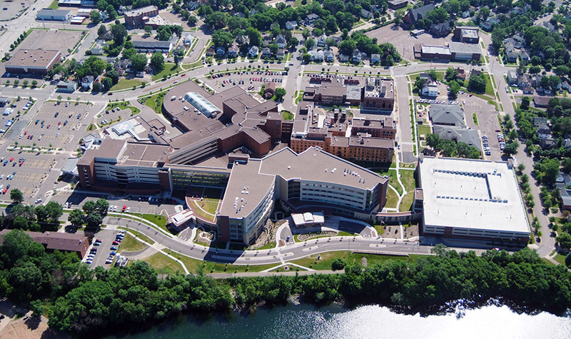
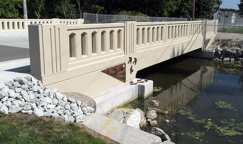
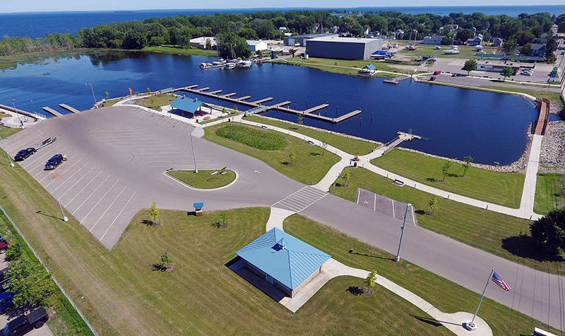
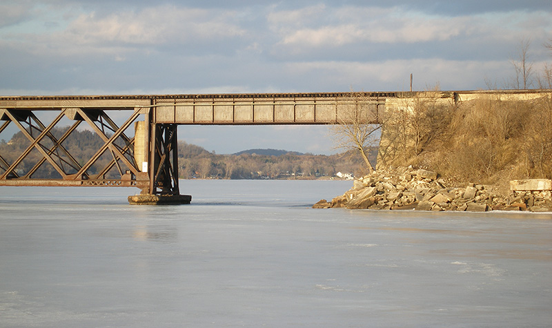
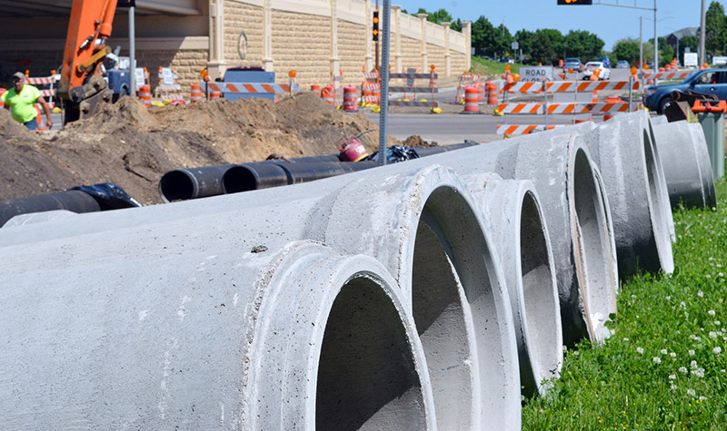
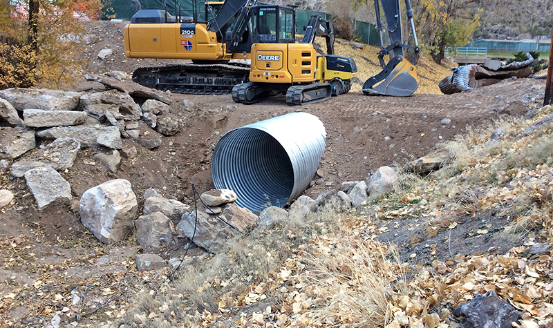
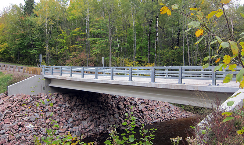
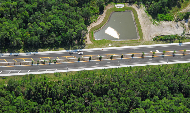
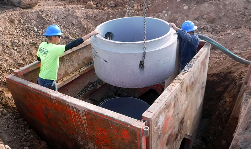
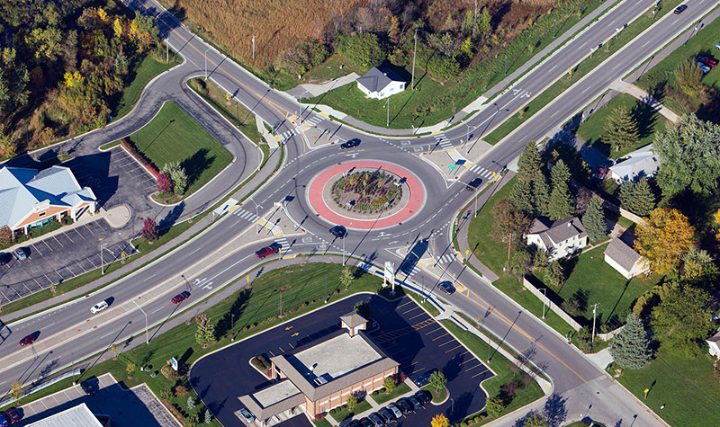
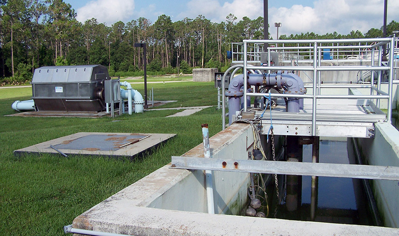
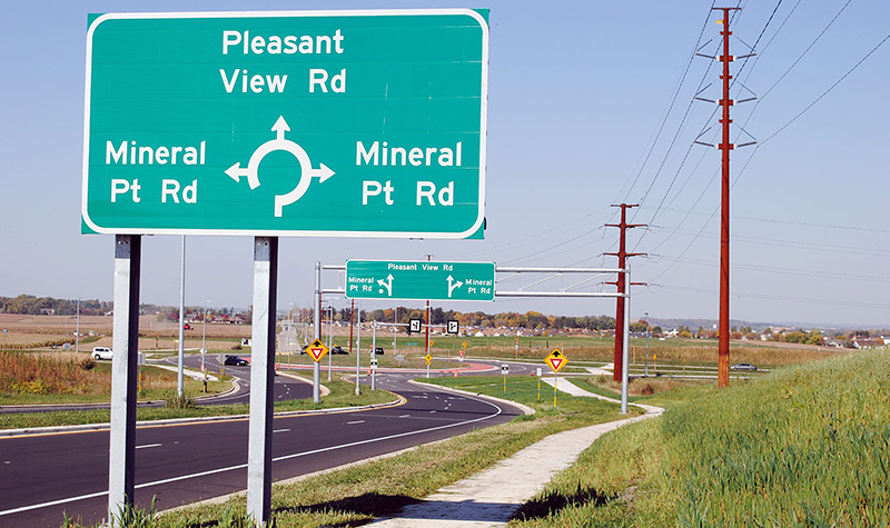
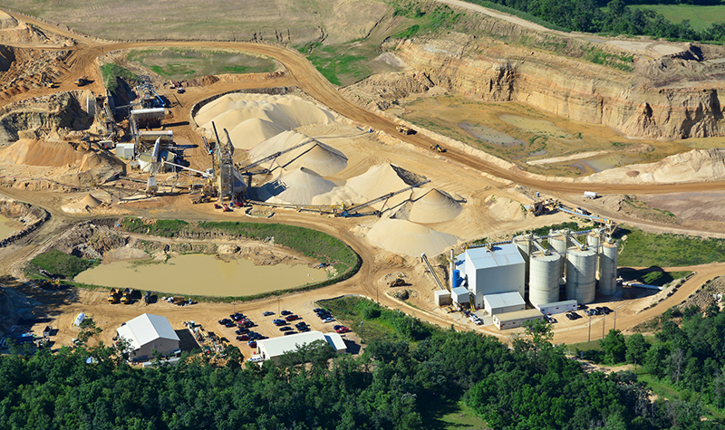
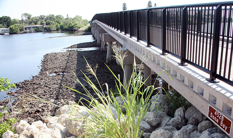
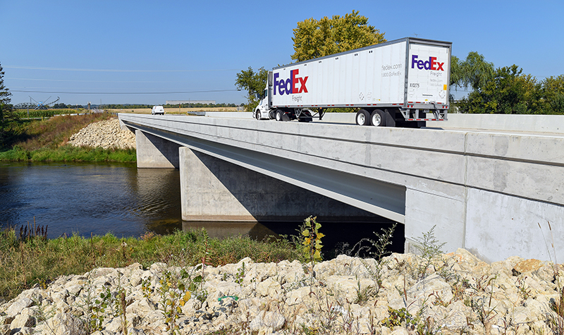
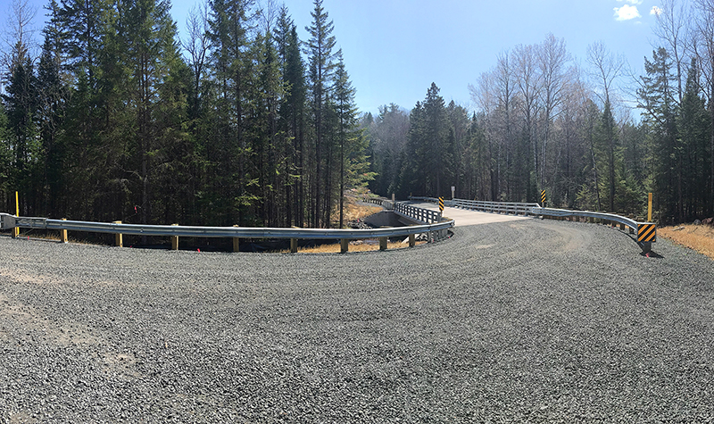
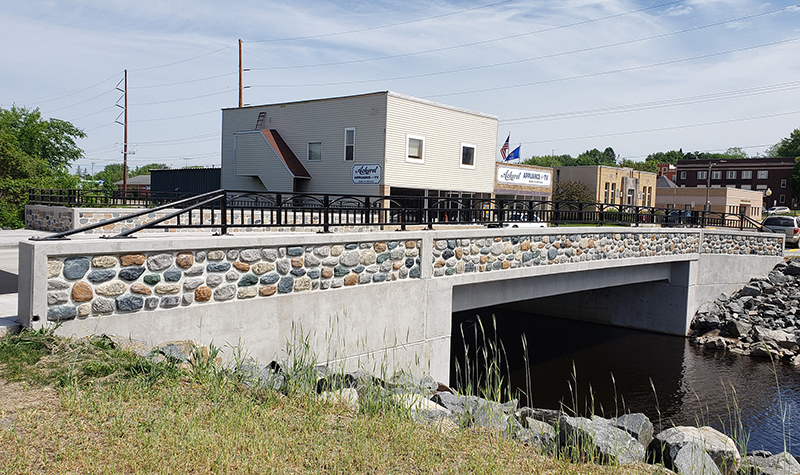
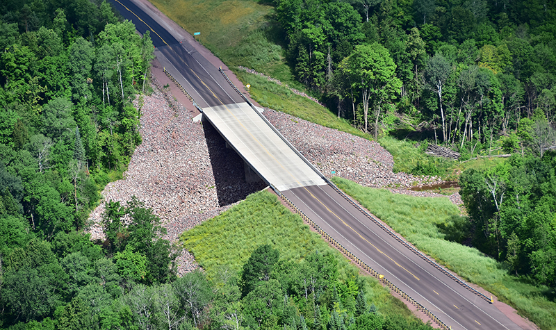
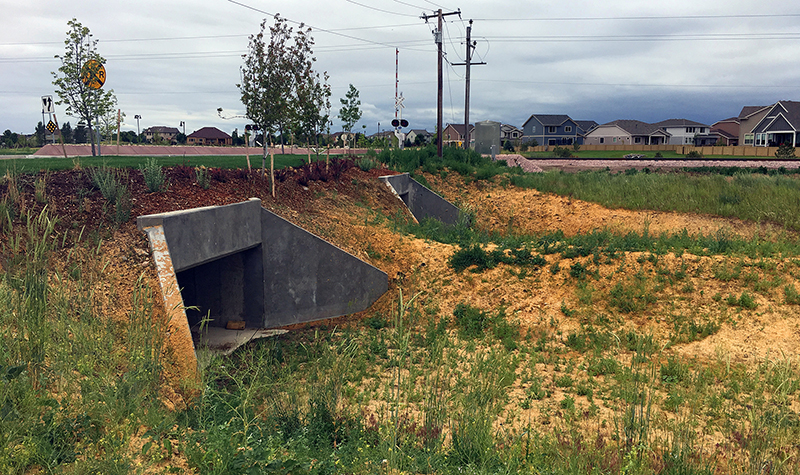
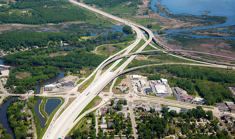
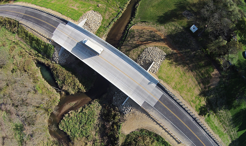
In nature, water always wins. We’ve tackled that challenge on thousands of bridges, dams, channel improvements, roadways, and floodplains. And we lead the way on river hydraulics.
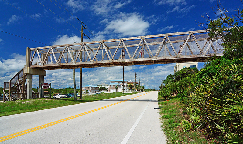
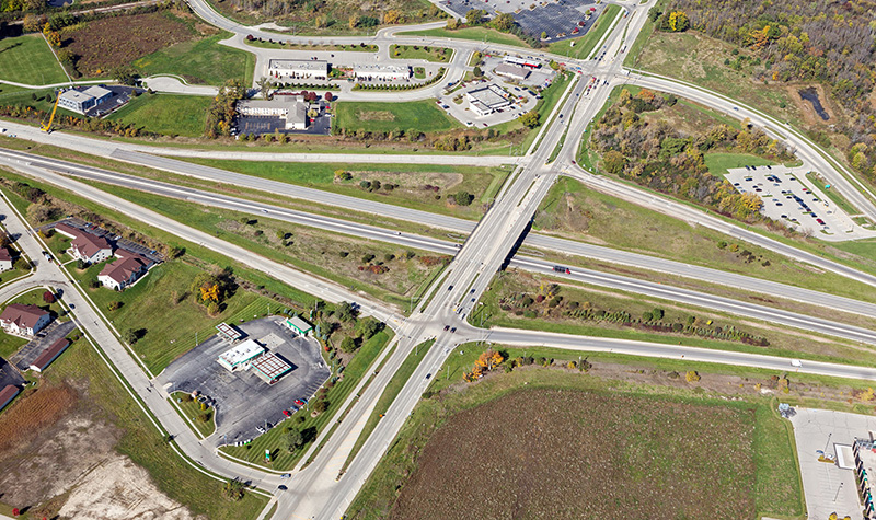
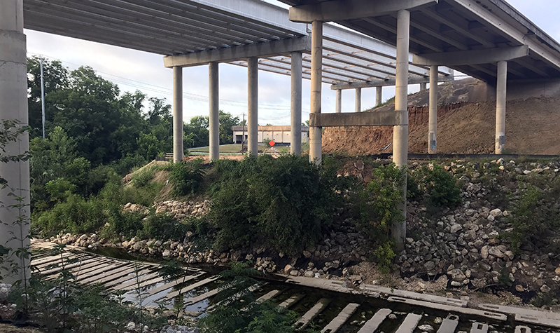
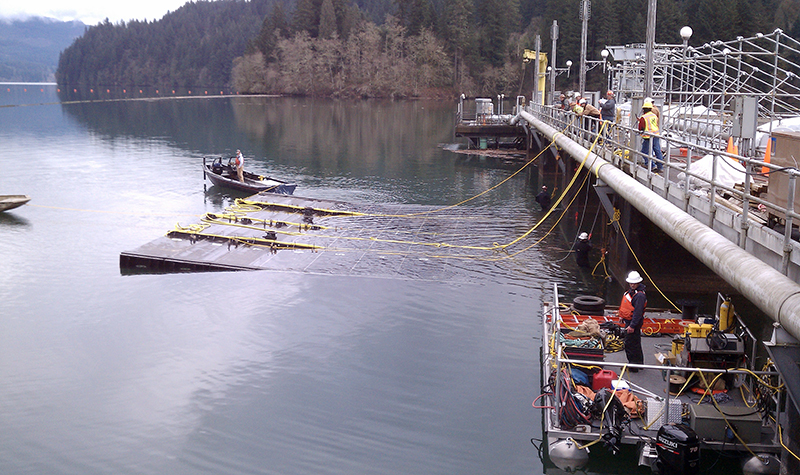
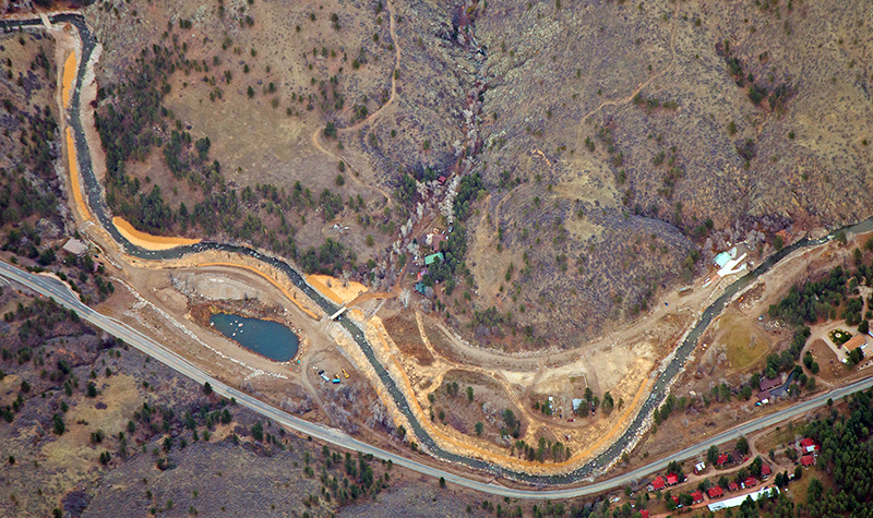
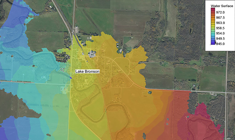
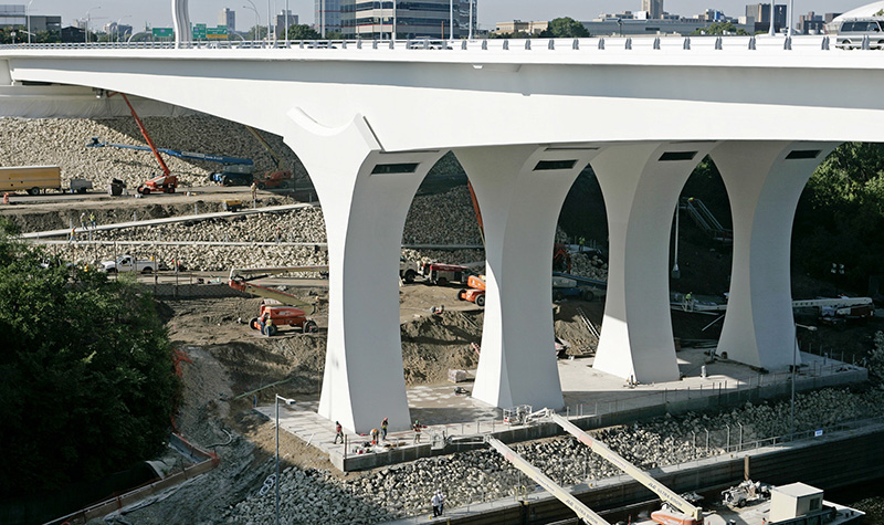
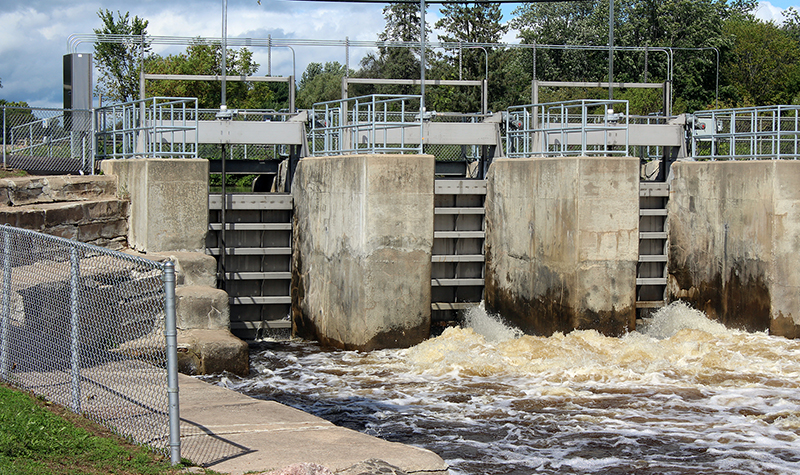
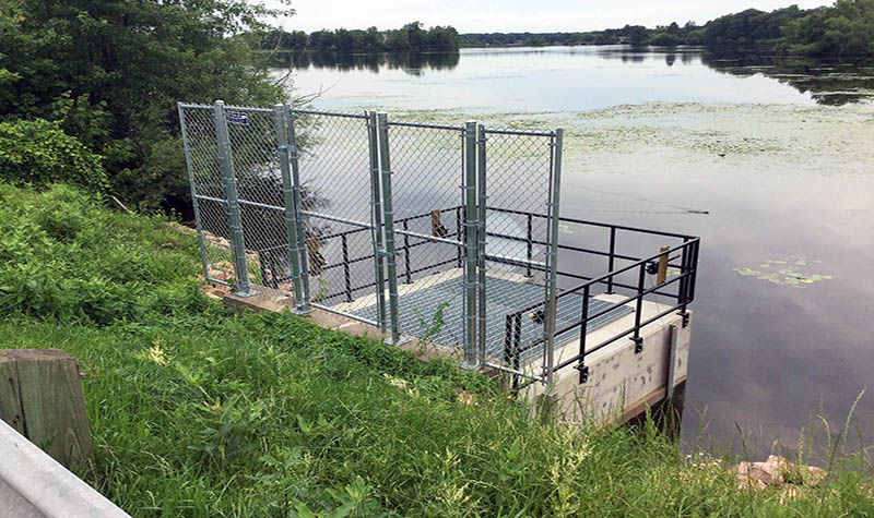
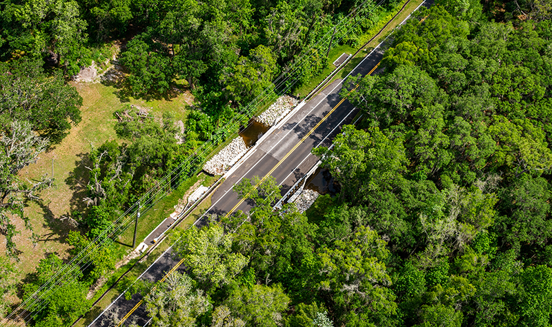
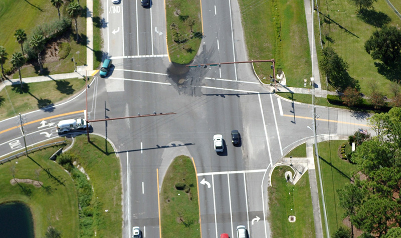
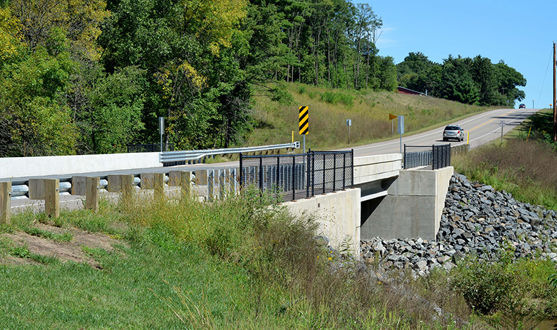
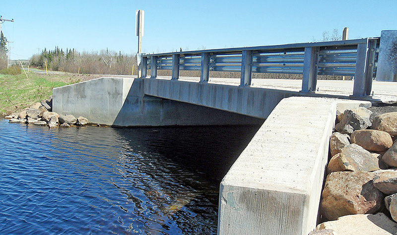
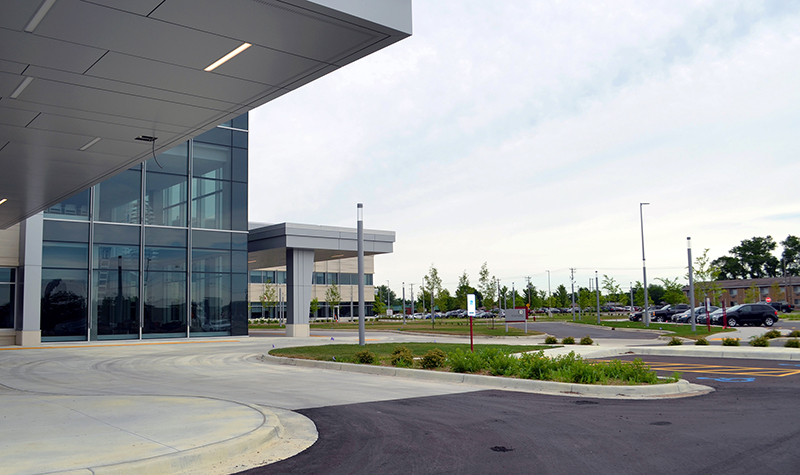
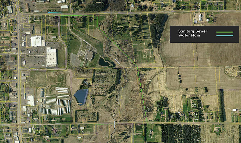
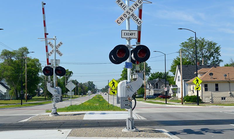
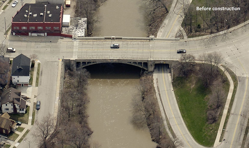
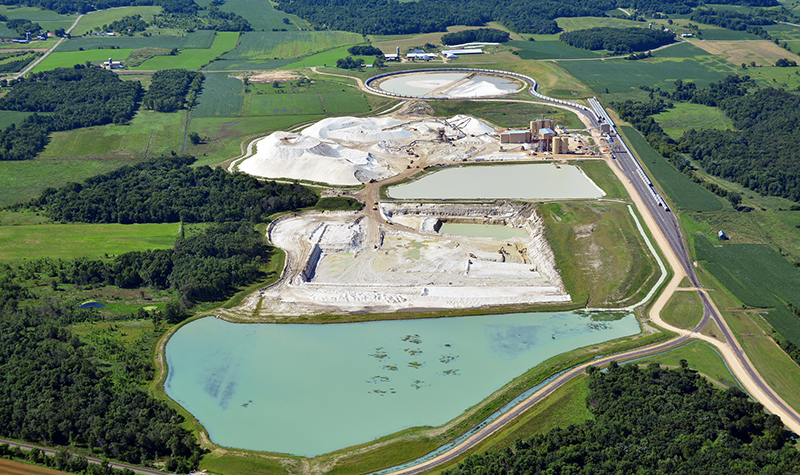
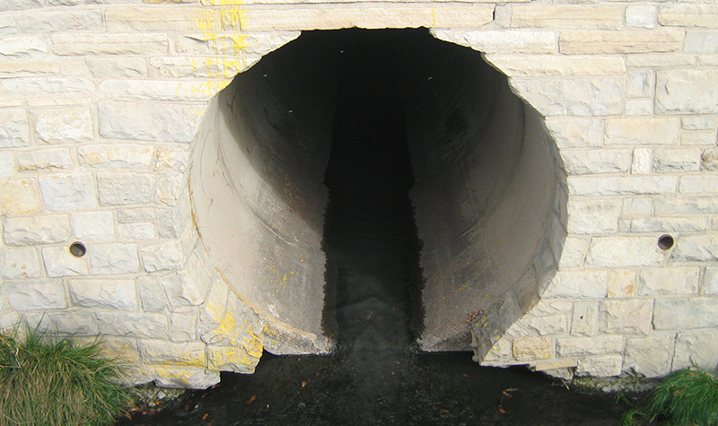
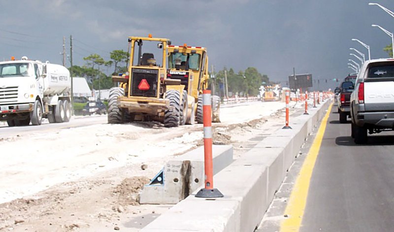
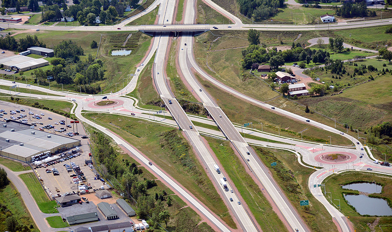
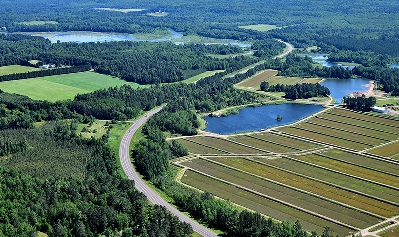
In nature, water always wins. We’ve tackled that challenge on thousands of bridges, dams, channel improvements, roadways, and floodplains. And we lead the way on river hydraulics.


-WEB.JPG)


-WEB.jpg)

 - WEB.jpg)


.jpg)