University of Iowa Flood Protection Design
« Return to Project Search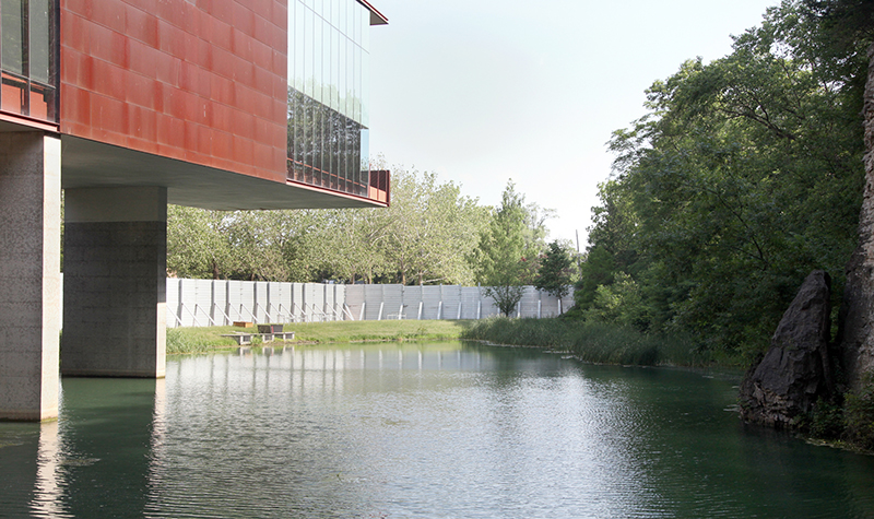
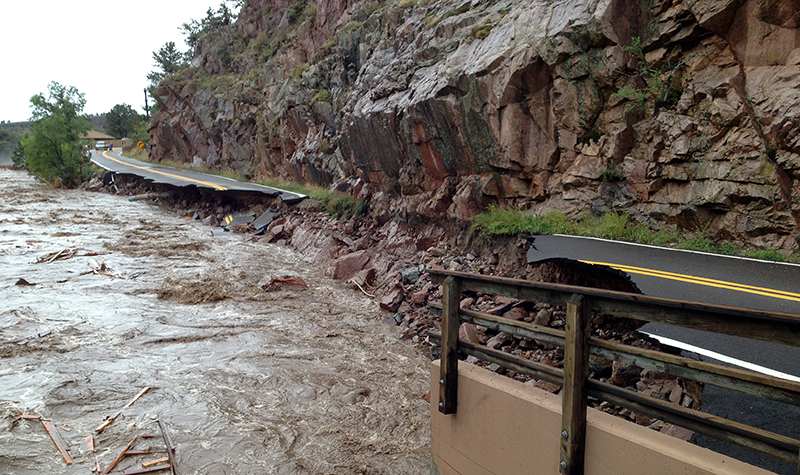
In June 2008 the University of Iowa experienced a catastrophic flood that caused more than $200 million in damage. The University retained Ayres to develop a flood mitigation plan for the campus.
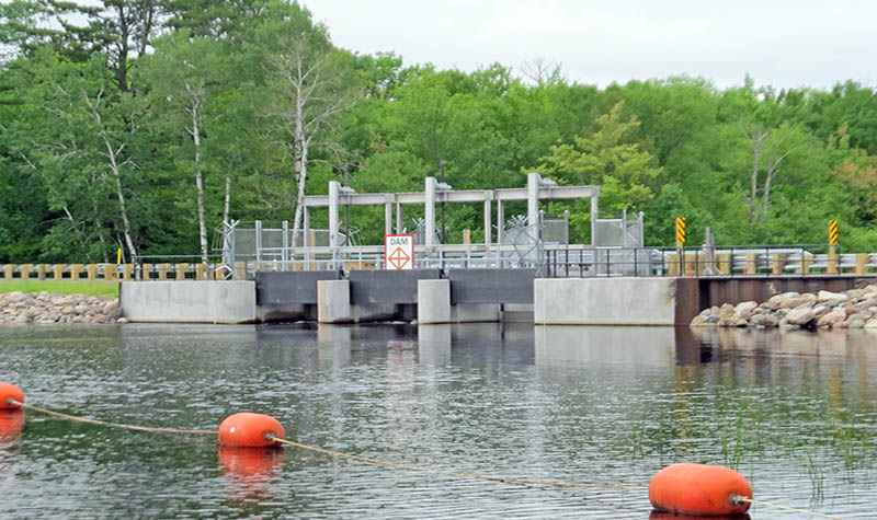
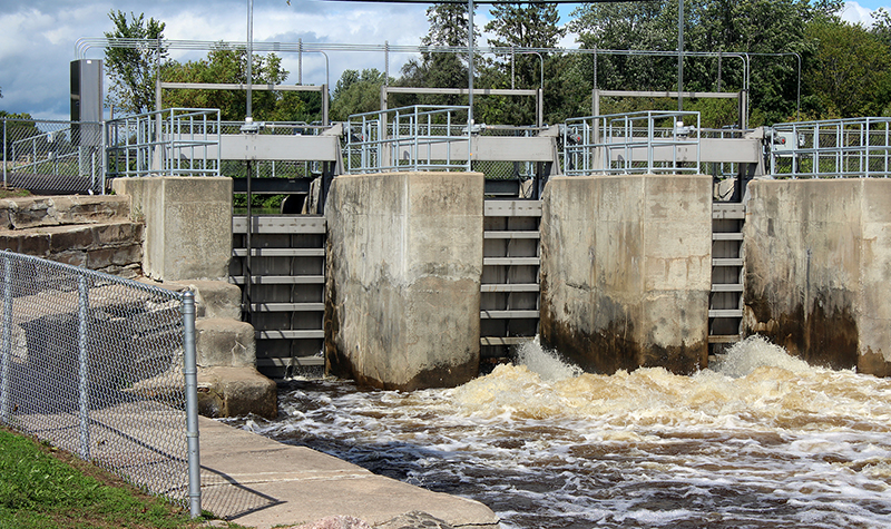
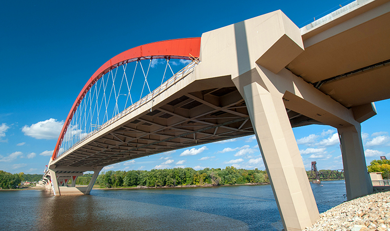
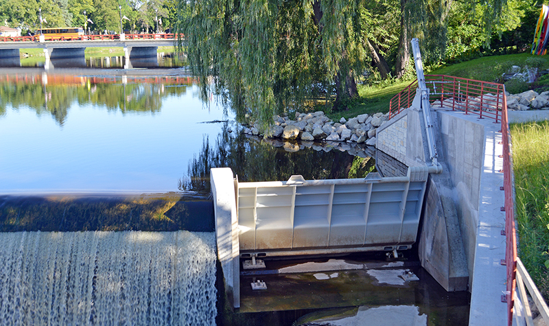
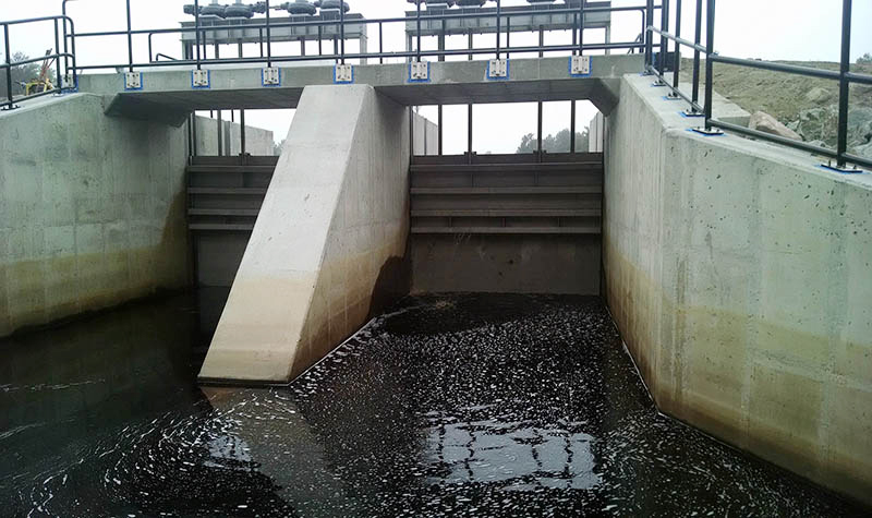
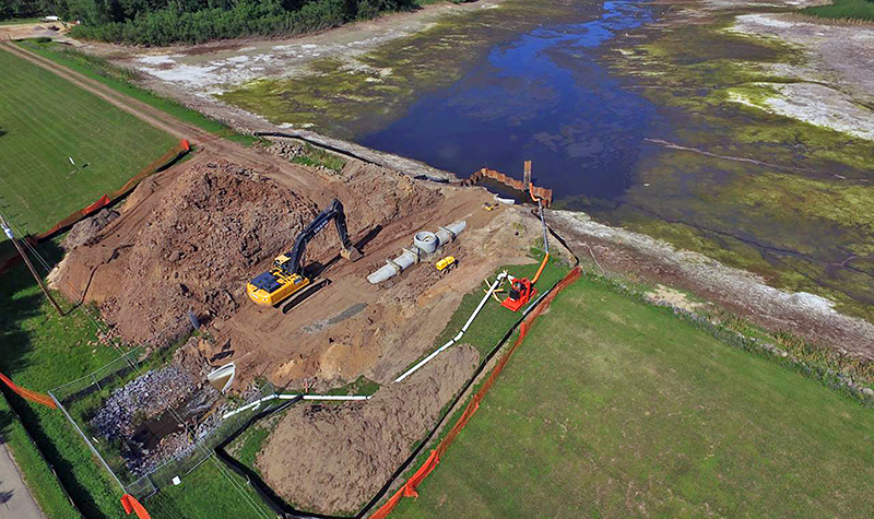
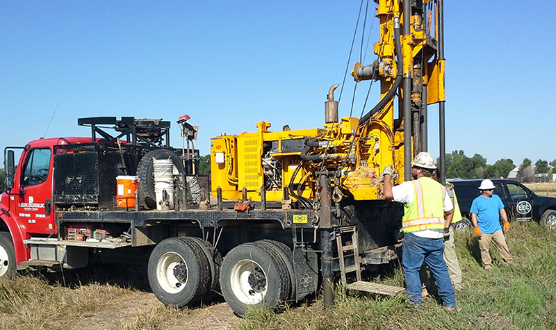
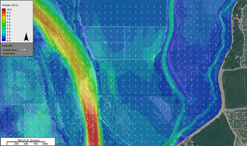
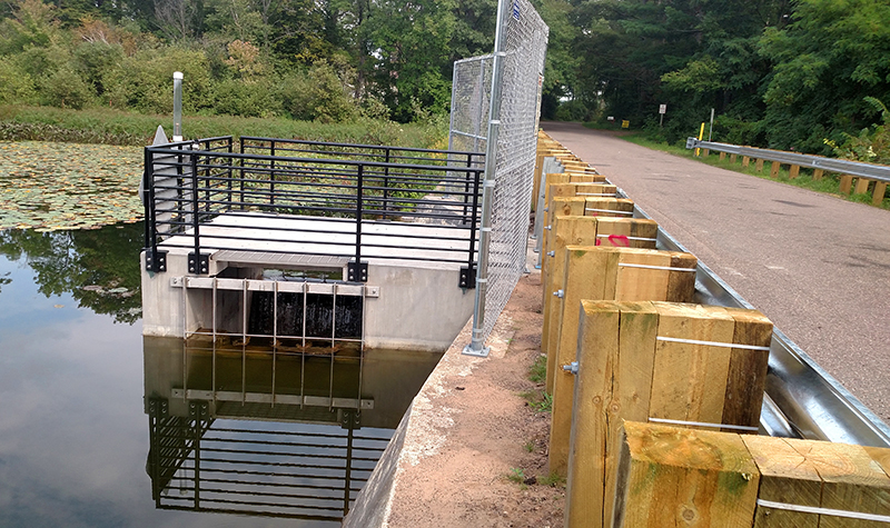
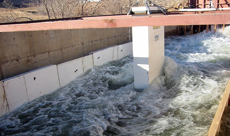
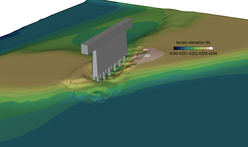
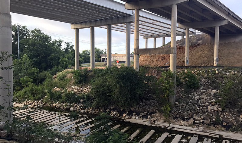
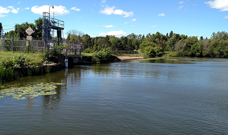
The mitigation plan included an updated hydraulic analysis to establish new flow vs. depth information through the campus. Ayres’ geospatial group developed new planimetric mapping and orthophotography for the campus and 13 miles of the Iowa River. The new hydraulic model included 17 bridges and two dams, compared to the previous Federal Emergency Management Agency model that included only four of the 19 structures within the model limits. Of critical importance was our assessment of groundwater impacts to the campus. During the 2008 flood, several buildings were damaged by groundwater intrusion, not surface water inundation.
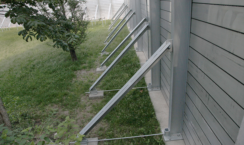
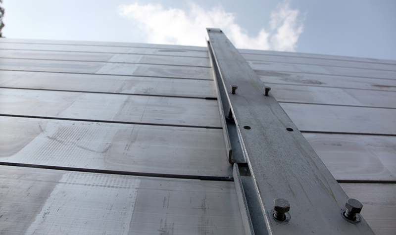
Ayres developed a number of flood mitigation alternatives for the University; all were evaluated in terms of their level of protection, cost, and aesthetic implications to the campus. Ayres prepared a revised Flood Emergency Response Plan, and University buildings and surrounding sites have been redesigned to incorporate flood protection measures including dewatering wells, well pumps, surface water pumps, and temporary flood walls.
Project Information
Client's NameUniversity of Iowa
LocationIowa City, IA
Primary ServiceRiver Engineering + Water Resources
MarketEducation