Engineering/Architecture: What’s New in 2019
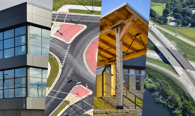
By Sue Leith, PG, CPSM It’s the start of the new year, and a yearly resolution for any organization is to stay on top of the trends and innovations that will drive its industry. The architecture/engineering industry is no different. As innovations change how people live, travel, and shop, the infrastructure they interact with has… Read More »
Tags: Autonomous Vehicles, Engineering, Engineering Trends, Modular Design, Prefab Construction, Prefabricated Construction, Resilient Design, Shared Autonomous Vehicles, Sustainable Design
Upon Further Inspection, Is That a Drone in the Chimney?
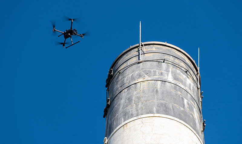
Santa comes down the chimney with a bound – or so goes the old poem. But Santa isn’t alone in navigating tight spaces. Unmanned aerial systems (UAS) have been used in a few chimneys this year in Wisconsin. The chimneys in question are state-owned heating plant chimney stacks. Normally an inspector would need to rappel… Read More »
Tags: Aerial Mapping, Drones, FAA, Geospatial, Pilots, Structural Inspection, Structures, UAS, UAV, Unmanned Aerial Systems, Unmanned Aerial Vehicles (UAVs)
Turn Your Aging Bridge into a Community Highlight

By Dan Sydow, PE Nearly 40% of the United States’ 600,000 bridges are over 50 years old, so chances are your community has an aging structure in need of replacement. But you may be able to turn an unavoidable expense into a bonus for your community, and maybe even draw in tourists. Your first priority… Read More »
Tags: Bridge, Bridge Design, Bridge Inspection, Bridge Rehabilitation, Bridge Replacement, Structural Design, Structural Inspection, Structures


