Matrix Riprap Provides More Riverbank Protection at Lower Cost

By Will deRosset The faster that water rushes through a river, the more erosion occurs on the river’s banks. Riverbank erosion can lead to a host of problems, including compromised bridges and adjacent roadways and loss of property. Protecting riverbanks from erosion correlates directly to increasing public safety. Water moving downhill has energy, and if… Read More »
Tags: Matrix Riprap, NCHRP, Partially Grouted Riprap, Research, Riprap, Riverbank Erosion, Riverbank Protection, Transportation Research Board
Scholarships Open Doors to Engineering Careers

How can I find engineering-specific scholarships? ACEC offers several. The deadline to apply is in March. A new year brings new opportunities, as the saying goes. And in civil engineering and related disciplines, employment opportunities abound for 2017 and beyond. Buildings and roads are being erected, the housing market has returned to a promising level, and… Read More »
Tags: ACEC, College, Employment, Internships, Scholarships, Summer Co-ops
Homebuilding Project Provides New Perspective
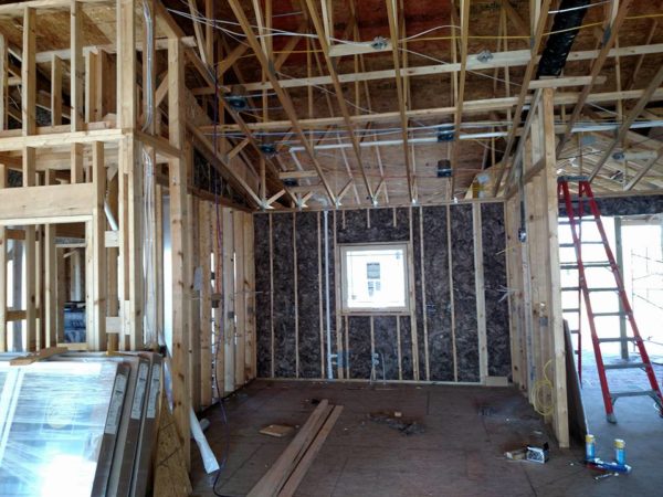
By Disa Wahlstrand, PE, LEED AP Being a civil engineer for 22 years equips you with a fair amount of information about site development projects. I know there needs to be a firm foundation for a building, good drainage, access for utilities, and adherence to local regulations, among other standard considerations. But I learned a… Read More »
Tags: construction, Contractor, Design Consultant, Homebuilding, Site Design, Site Development


