
Par for the Course: Keeping the Bridge Open to the Open

In the golf world this week, all roads lead to the U.S. Open Championship at Erin Hills in Dodge County, Wisconsin. This high-caliber course is 35 miles northwest of Milwaukee, 115 miles from Chicago, 116 miles south of Green Bay, and 67 miles east of Madison. It’s not quite in the middle of nowhere, but… Read More »
Tags: Bridges, Dodge County, Erin Hills, Golf, Structural Design, U.S. Open, Wisconsin
Navigating New Ground: Knowing Rules of Commercial UAS Use is Crucial
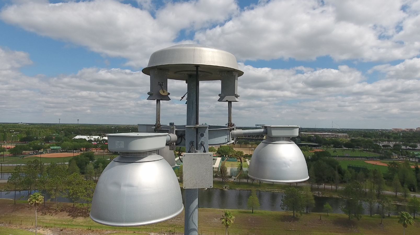
An unmanned aircraft system (UAS) was used to inspect the lighting assembly at the top of a high mast light pole approximately 120 feet in the air. Examining and evaluating the structural integrity of the signs above you, the traffic and signal poles alongside you on the highway, and the bridges you drive over and… Read More »
Tags: Drones, FAA, Structural Inspection, UAS, Unmanned Aircraft Systems
Splashpads Hose Down Cost of Fun in the Sun

The hottest trend in parks and recreation across the U.S. is ironically known for its cooling effects. It seems like every park or green space is spontaneously springing a leak. But these “leaks” are actually carefully designed and often whimsically outfitted splashpads with colorful features that purposefully hold children’s interest. And because splashpads offer safe… Read More »
Tags: Altoona, Arizona, Blue Mound State Park, Champaign, Fitchburg, Illinois, Landscape Architecture, McKee Farms Park, Milwaukee, Moody Park, River Prairie, Splashpad, Tempe, Wisconsin


