
How to Make a Kayak/Canoe Launch ADA-Compliant
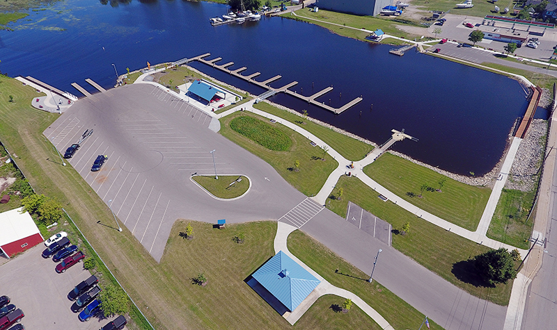
By Craig Schuh, PE “And now I sign legislation, which takes a sledgehammer to another wall, one which has for too many generations separated Americans with disabilities from the freedom they could glimpse, but not grasp. Once again, we rejoice as this barrier falls for claiming together we will not accept, we will not excuse,… Read More »
Tags: ADA-Compliant, Americans with Disabilities Act, Canoe Launch, Gangway Slope, Handrails, Kayak Launch, Marine Conditions, Structure
A Short Course in Environmental Acronyms
Under NEPA, the EPA (or DOT, NRCS, USDA, or another federal agency) oversees EIA and EIS processes. On the other hand, FWS and NMFS are responsible for overseeing the ESA. OMG. Sometimes the federal government seems to have a language all its own. To help you navigate your way through that territory, here’s a tourist… Read More »
Tags: EIA, EIS, Environmental Impact Assessment, Environmental Impact Statement, Environmental Species Act, EPA, ESA, Finding of No Significant Impact, Fish and Wildlife Service, FONSI, FWS, National Environmental Protection Act, NEPA, NMFS, WDNR, WEPA, Wisconsin Department of Natural Resources, Wisconsin Environmental Protection Act
Moving Right Along: Will Your Development Require Traffic Impact Analysis?

Change is a constant, it has been said. And looking at the built environment around us, few could argue to the contrary. Our towns, cities, and transportation networks are continually evolving to better serve the interests of the community, moving forward with new structures, enhanced resources, and modern facilities to improve quality of life. Proposed… Read More »
Tags: Development Traffic Analysis, Roadway Improvement, TIA, Traffic Conditions, Traffic Control Design and Operation, Traffic Impact Analysis, Traffic Incident Management, Transportation Impact Fees


