
Enhancing Community Environmental Resilience Through Brownfield Revitalization and Process-based Stream Restoration
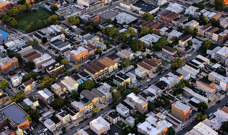
By Christina Hiegel, PE, and Colin Barry, PG, CFM Environmental challenges are among the concerns many communities grapple with as they strategically plan to become more resilient and ensure a strong, vibrant future. Two frequently occurring environmental challenges are the revitalization of brownfield sites in protection of human and environmental health and the restoration of… Read More »
Tags: Brownfield, Brownfield Revitalization, Environmental Resilience, EPA, Process-based Stream Restoration, resilience, Restoration, Stream, Stream Restoration
Geospatial Community Answers Call to Update Benchmarks
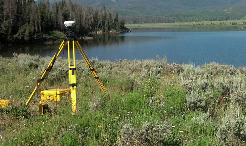
By Dick Kleinmann, PLS, and Mick Heberlein, PLS, PS, CFedS The National Geodetic Survey (NGS) rolled out a program in late 2020 asking surveyors to make GPS observations on existing benchmark monuments nationwide. The intent is to improve the vertical data model and tools that will facilitate transition to new 2022 datums. The effort will… Read More »
Tags: Datum, GPS Observation, National Control Monument Network, National Geodetic Survey, National Society of Professional Surveyors, NSPS, Survey Benchmarks, Surveying, Wisconsin Society of Land Surveyors, WisDOT, WSLS
Drones Bring High-Quality Imagery to Subsurface Utility Engineering Projects and More
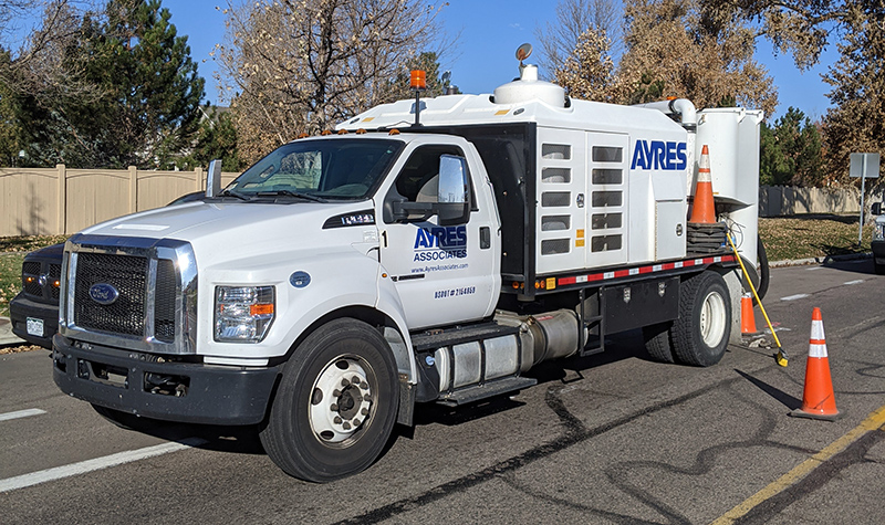
By Kasey Hayes As the demand for high-quality subsurface utility engineering (SUE) services grows for municipalities across the country, finding ways to deliver this service efficiently and accurately is paramount. Now there’s a way to bring even more accuracy and peace of mind to municipalities to meet SUE project requirements: using imagery… Read More »
Tags: Drone, Locating Utility Infrastructure, Orthoimagery, Site-visits, Subsurface Utility Engineering, SUE, Telecommunications, UAS, Utilities


