GIS Specialist Joins Select Group of Certified Mapping Scientists
 GIS specialist Michael Seidel of Ayres Associates’ aerial mapping group recently became one of fewer than 60 certified mapping scientists in GIS/LIS – and the first in Wisconsin – according to the professionals directory of the American Society of Photogrammetry and Remote Sensing (ASPRS), which administers the certification.
CMS-GIS/LIS certification holders are involved in geographic information system/land information system design and/or the application of database management and computer programs to facilitate the use of spatially referenced databases for analysis. They are responsible for bringing together various spatial systems of different origins, allowing otherwise incompatible data sets to work together in solving clients’ data needs.
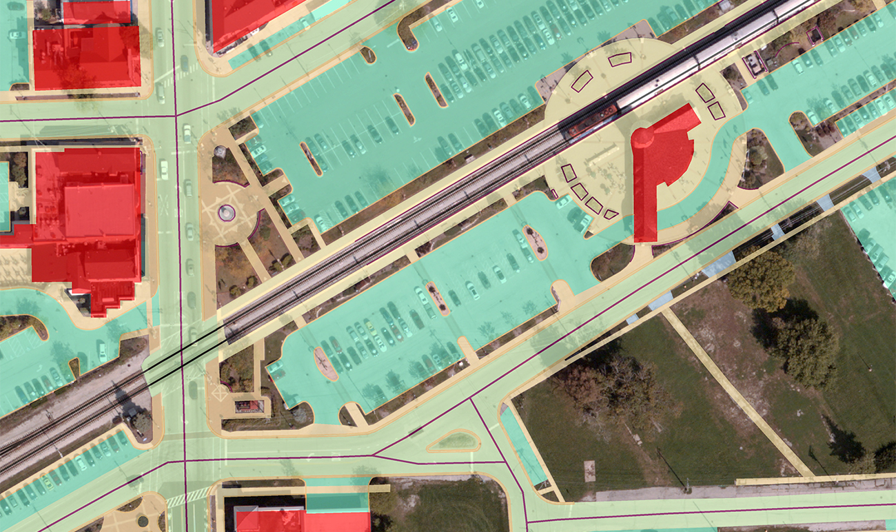
Seidel’s GIS work is informed by extensive formal training and education. He reliably handles highly complex GIS-related projects. Seidel provides extensive support for energy and telecommunications utility clients’ projects, and he assists with transportation planning efforts, including performing GIS analysis and producing GIS maps showing population, employment, and travel forecasting data. He assists on traffic analysis projects, handling data for projects including traffic impact analyses and interchange ramp design.
ASPRS certifications help professional photogrammetrists and lidar and GIS experts to prove their mastery of mapping and data disciplines. The certifications give clients confidence about the consultants they hire because of the documented experience, references, and testing required to receive these certifications. Here are the requirements for obtaining CMS-GIS/LIS certification, per the ASPRS website:
- Three years of experience in mapping sciences or photogrammetry in a position of responsibility demonstrating professional knowledge of and competence in mapping science and procedures.
- Three years of professional experience in GIS/LIS, during which professional knowledge and competence in those systems were demonstrated.
- References from four people holding or who have held responsible positions in the mapping sciences and in GIS/LIS who have firsthand knowledge of the applicant’s professional and personal qualifications.
- Declaration of compliance with the ASPRS Code of Ethics.
- Successful completion of a written examination.
In addition to his recently acquired CMS-GIS/LIS certification, Seidel also is certified as a GIS Professional (GISP) by the GIS Certification Institute.