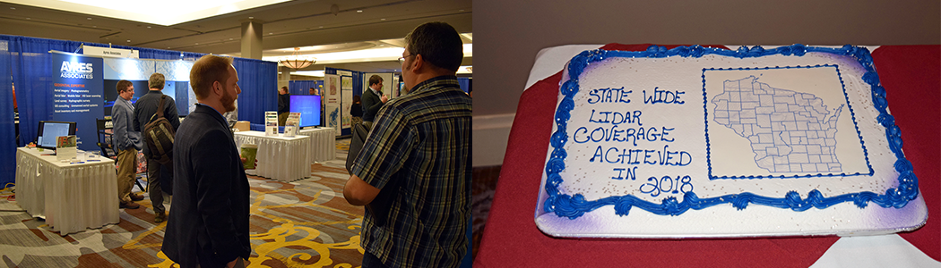
Wisconsin Completes Statewide Lidar Coverage
APPLETON, Wis. – For the first time lidar coverage is now available across the entire state of Wisconsin, offering users highly accurate elevation data for critical applications such as floodplain mapping, erosion modeling, transportation planning, and elevation studies.
The complex, multi-phased process began with the first countywide lidar flight in 2002, followed by significant coverage in 2010 in the southern third of the state. Steady progress was made after 2015, largely because U.S. Geological Survey 3D Elevation Program funding reached the state. Final flights occurred in 2018, finally achieving statewide coverage.
Wisconsin counties have led the way with funding and initiating these projects, with established Wisconsin Regional Orthoimagery Consortium (WROC) funding partners such as the Natural Resources Conservation Service and U.S. Forest Service playing a significant role
in helping the counties achieve their lidar – all at Quality Level 2 or 3.
This accomplishment was achieved through cooperation among the Wisconsin Land Information Program, state Department of Administration, and the state’s 72 counties. The Ayres Associates-Quantum Spatial team served as prime consultants for the effort, delivering customized data tailored to each individual stakeholder’s needs.


