


Public Infrastructure
Project Support

ASCE 38-22 &
Colorado Compliant

Private Utility
Designating
Quality Data
Comprehensive
Responsive
Quality Data You Can Build On
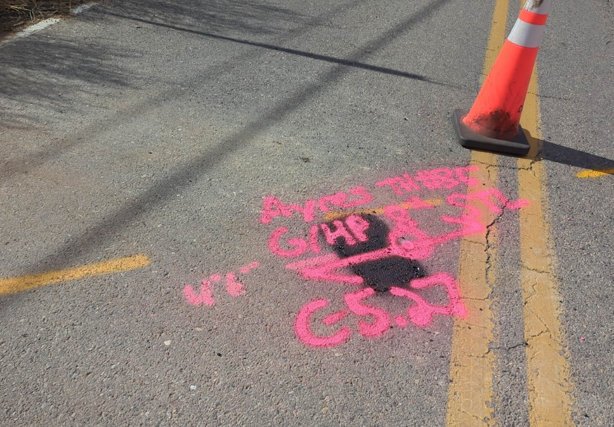
You have work to do. We take “Where?” off the long list of questions you need answered before you can begin construction. Our crews prioritize thorough fieldwork and documentation to deliver accurate, defensible utility data, not rushed assumptions.
Our technicians are trained on multiple locating technologies, and they compare their findings against utility records (QLD). Each project undergoes a multi-step review, from field verification to office QA/QC and final oversight by a licensed professional engineer.
Next: Comprehensive

Comprehensive SUE Services
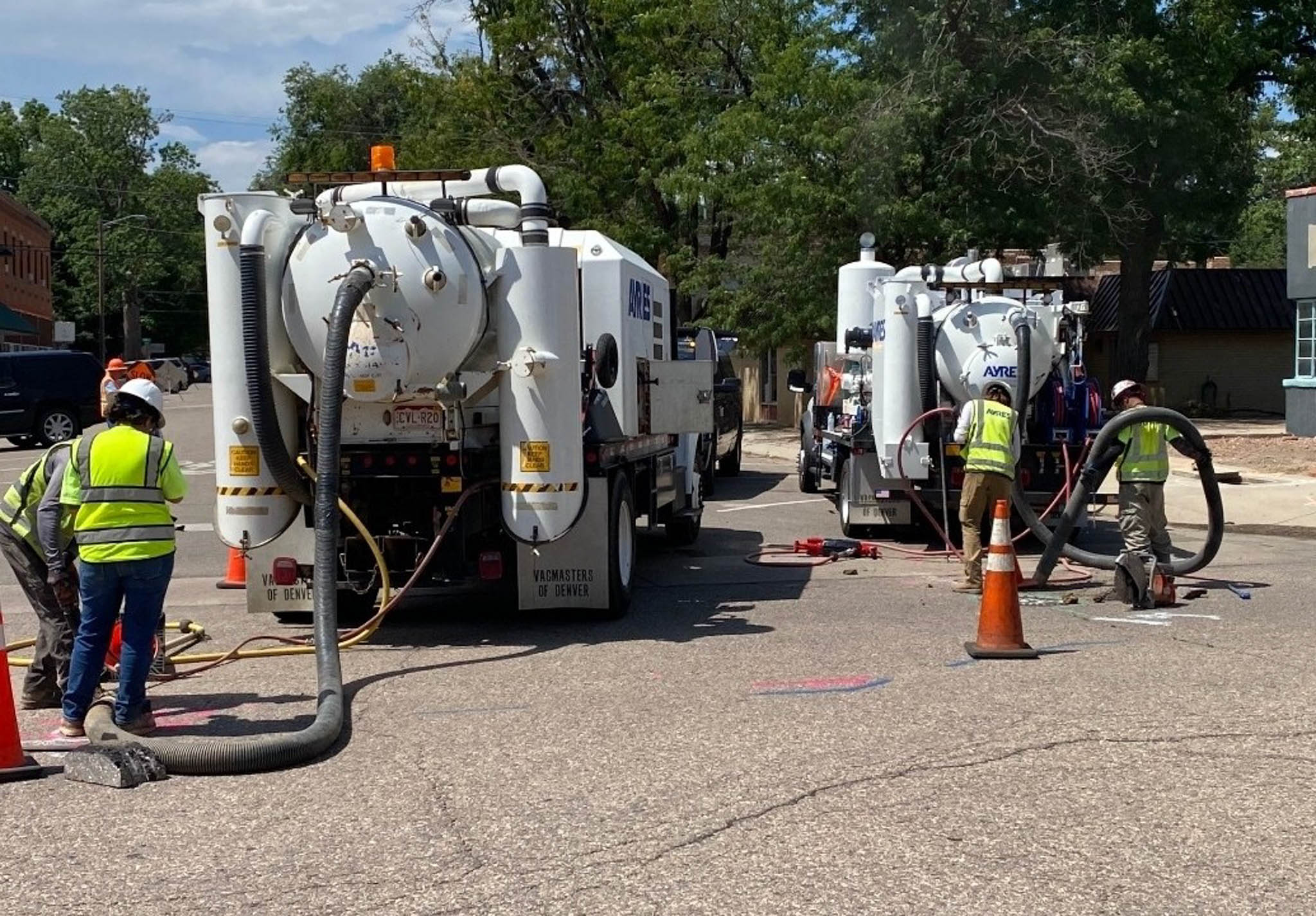
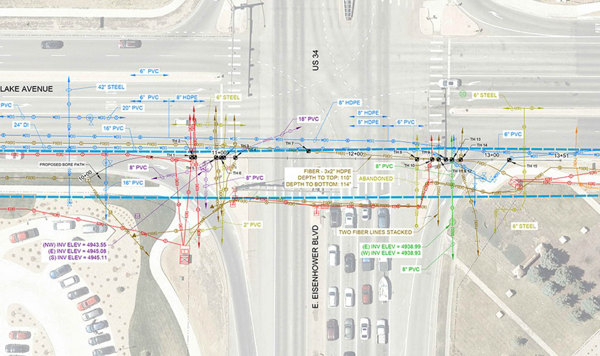
Do you need the full range of services from records research through field investigation and survey? Our integrated SUE team delivers everything you need: QLD utility records research, QLB designating, QLA vacuum excavation, survey, and final professional-engineer-stamped documentation.
Next: Responsive
One Contact, One Responsive Team
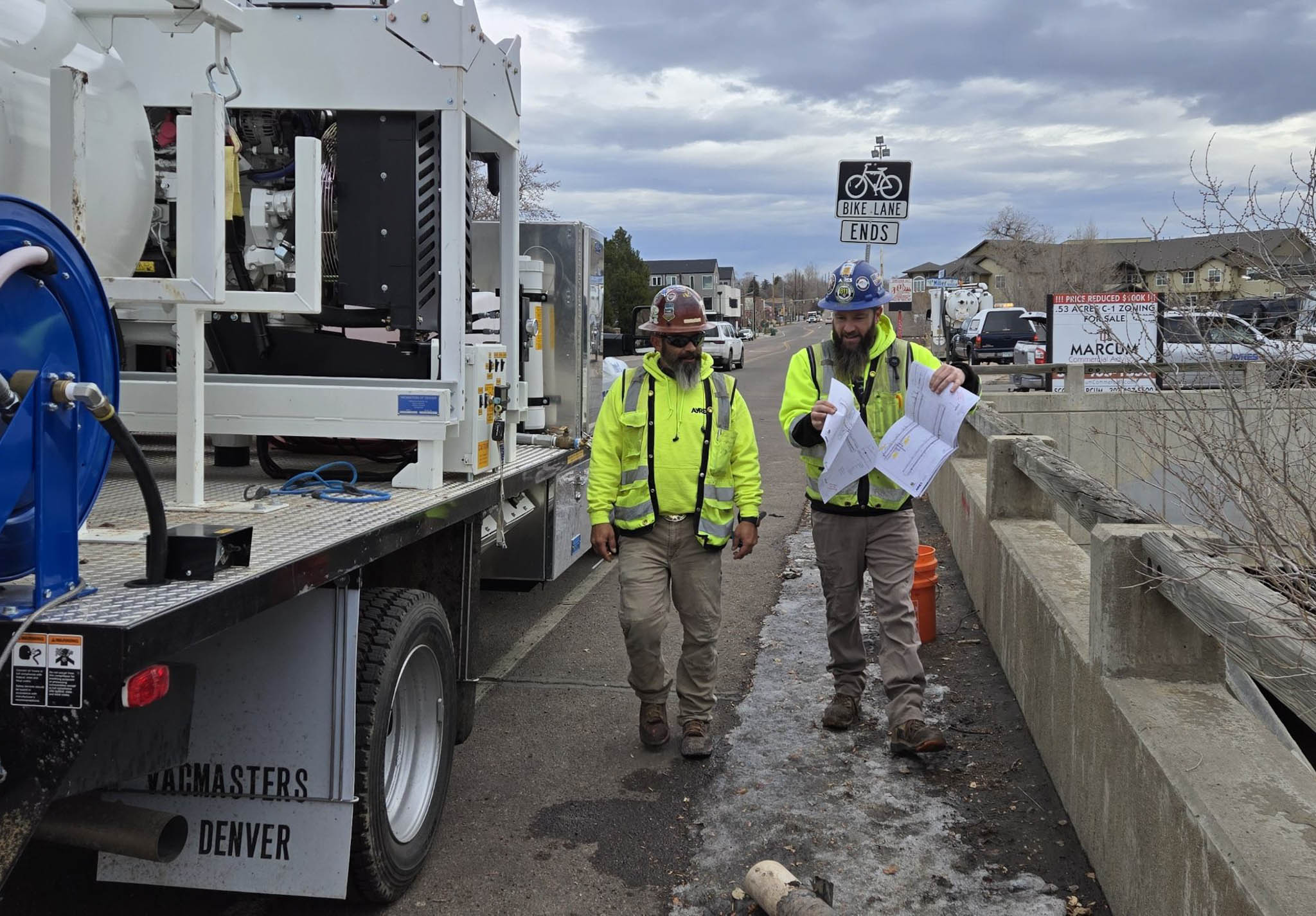
A dedicated project manager oversees all aspects of your SUE work, serving as a single point of contact from kickoff through delivery. This approach streamlines coordination, ensures timely communication, and keeps you informed with clear, consistent updates. Our commitment to consistent communication heads off misunderstandings and delays.
Next: Quality Data
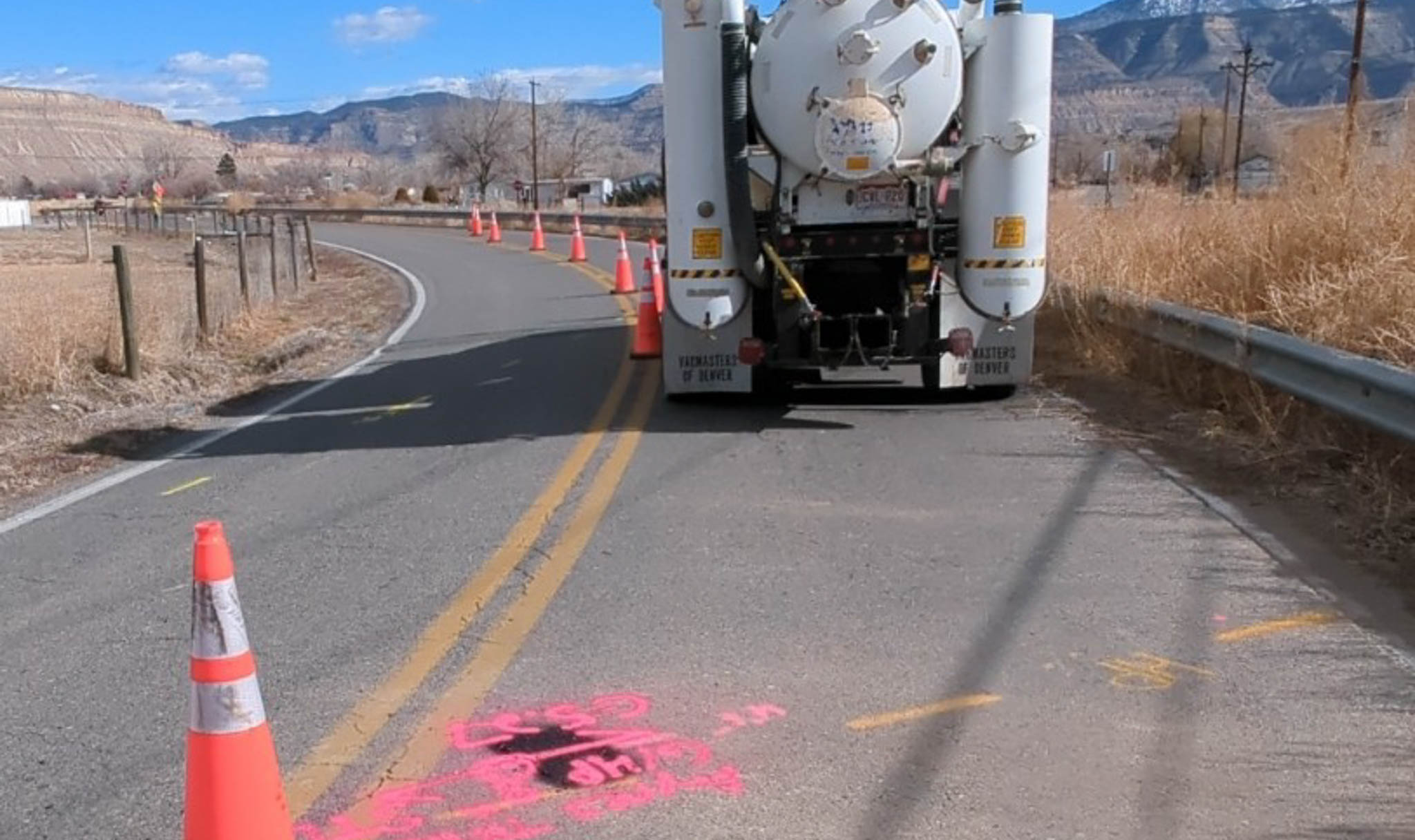
Electromagnetic Locating
Palisade Sewer Transfer Project
|
Palisade, CO
Subsurface Utility Engineering
Ground Penetrating Radar
Backbone Fiber Installation
|
Loveland, CO
Subsurface Utility Engineering

Geospatial
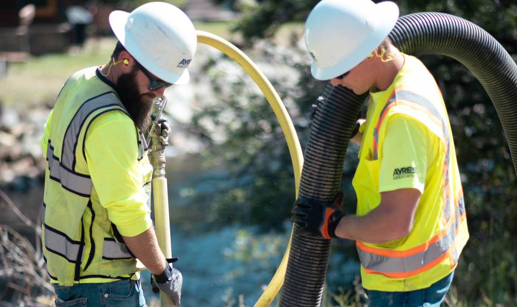
Vacuum Excavation
Weld County Road 70 Extension
|
Windsor, CO
Subsurface Utility Engineering

River Engineering + Water Resources
Utility Coordination
Cottonwood Creek Stabilization SUE
|
Colorado Springs, CO
Subsurface Utility Engineering
River Engineering + Water Resources
Geospatial
Market
Local Government
Client
Town of Palisade
Location
Palisade, CO
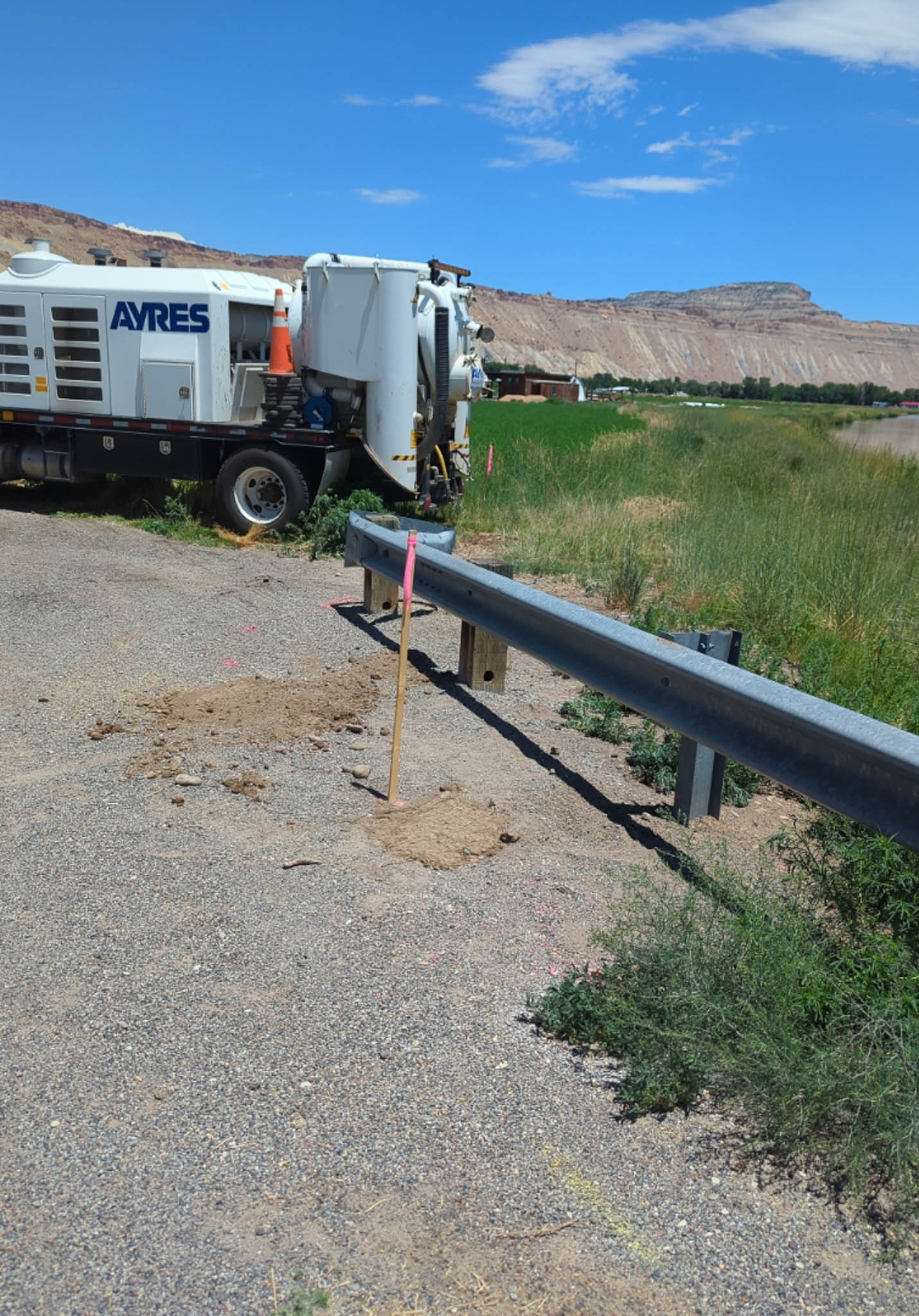
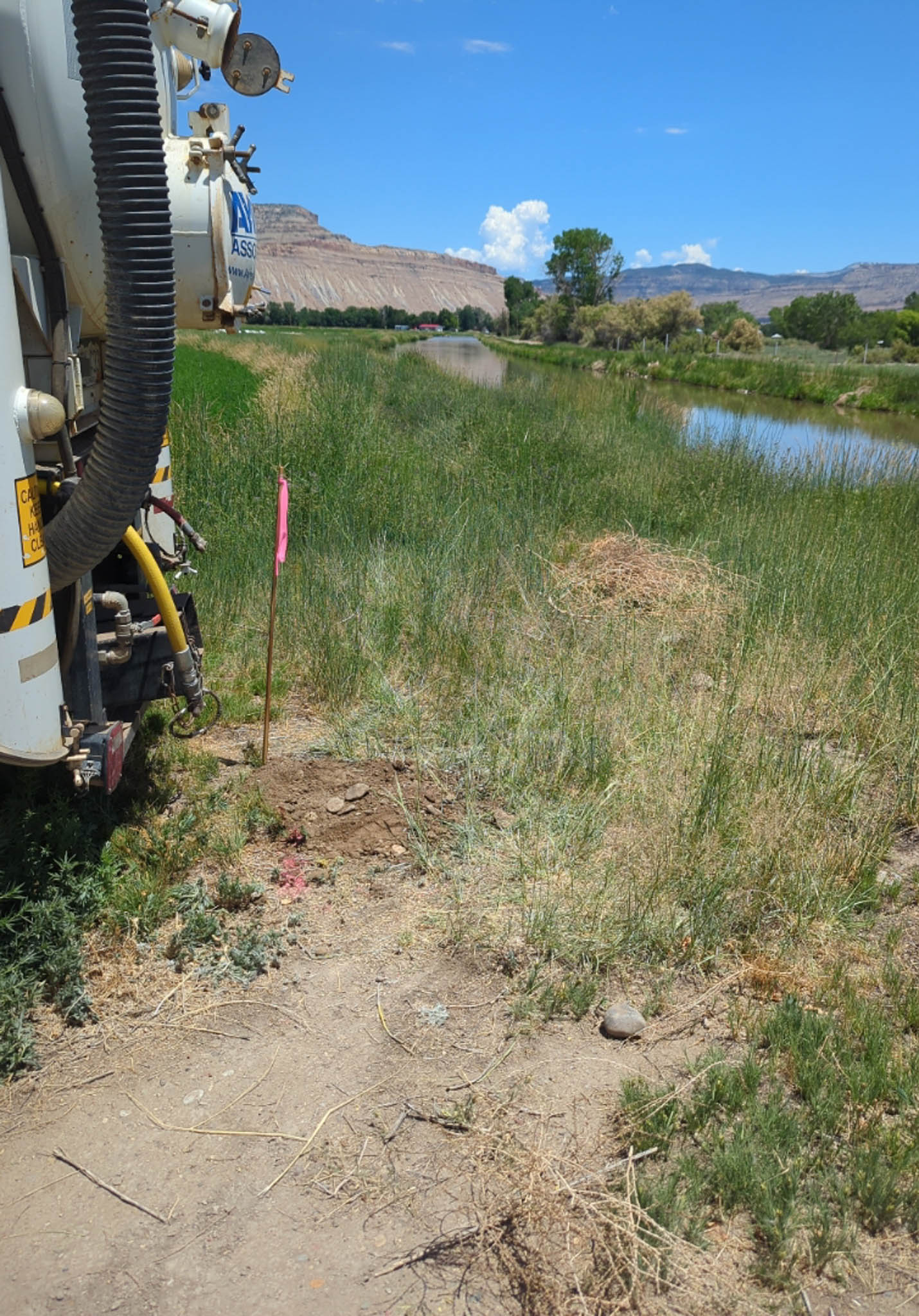
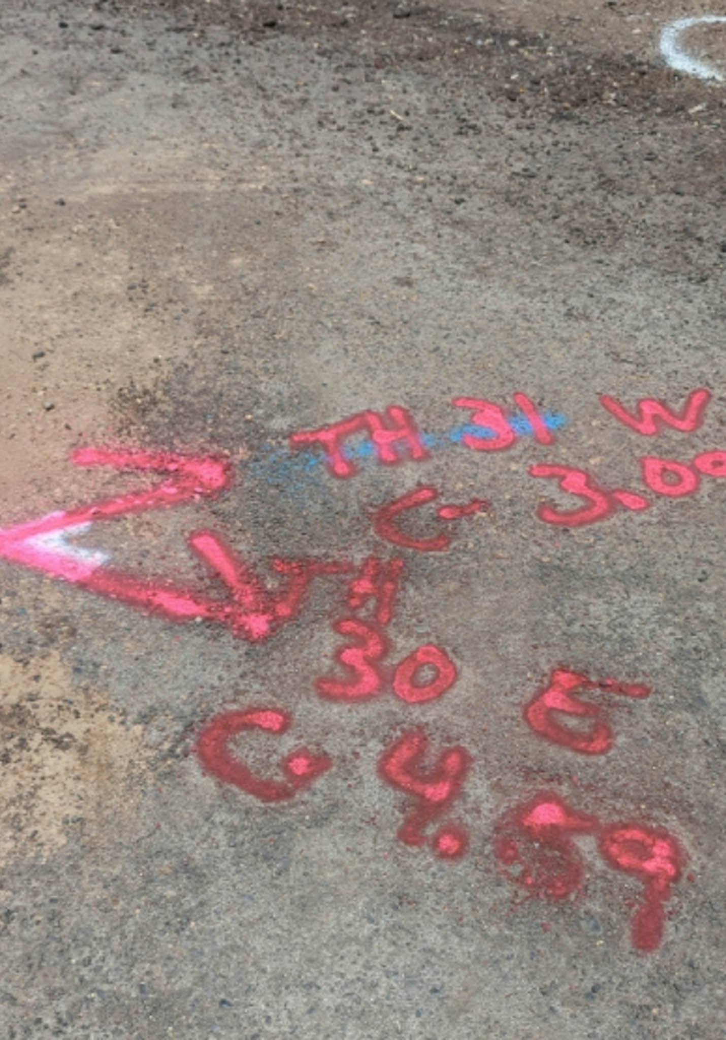
Ayres assisted the Town of Palisade in transitioning wastewater treatment operations to a neighboring sanitation district. The team supported the design phase by providing a clear understanding of existing underground conditions along the 5.2-mile pipeline route.
Project Highlights
- 5+ Miles of QLB Designating
- More Than 40 Test Holes Completed
- Coordinated Permitting & Access Across Multiple Jurisdictions
Services Provided
- Quality Level A SUE
- Quality Level B SUE
- Property Owner Coordination
Markets:


Next: Backbone Fiber Installation
Market
Energy + Utilities + Tech
Client
Backbone Fiber
Location
Loveland, CO
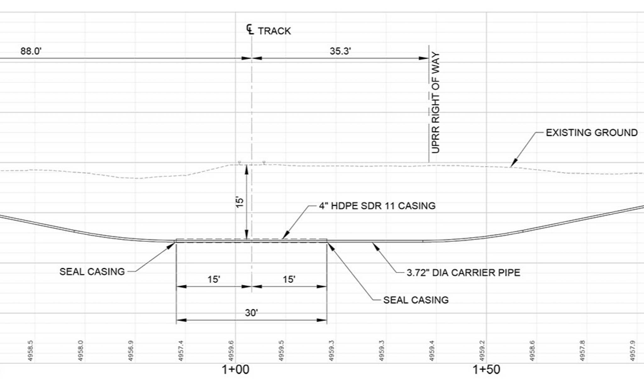
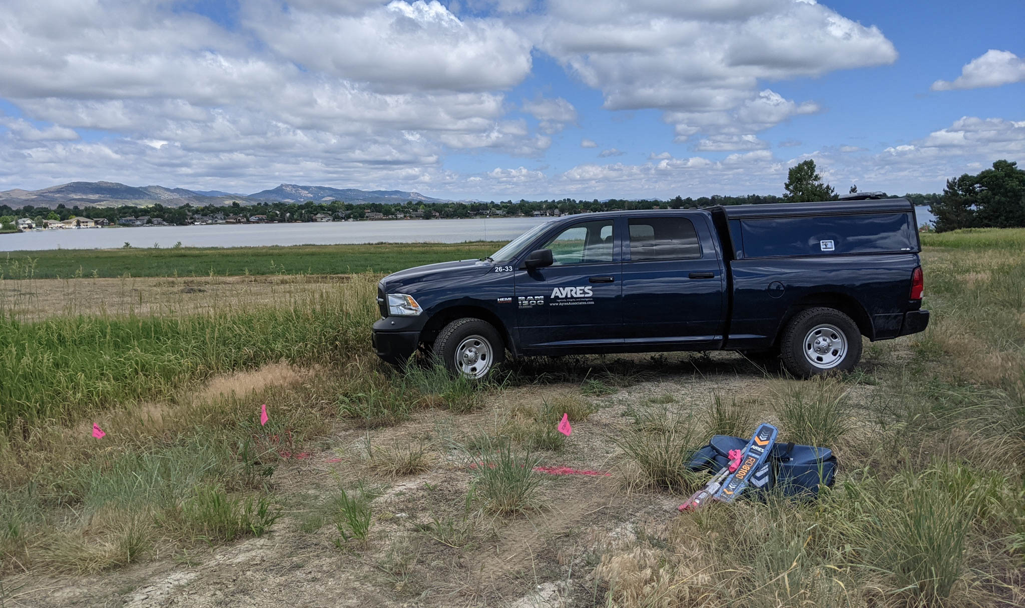
Ayres provided subsurface utility engineering to support planning and construction for Backbone Fiber’s proposed fiber optic route. The team helped ensure the design had accurate underground information to guide routing decisions, reduce construction risks, and support the permitting process.
Project Highlights
- 5+ Miles of Proposed Fiber Installation
- Route & Conflict Identification
- Coordination with Client & Property Owners
Services Provided
- OSP Fiber Optic Mapping
- QLB Designating
- Ground Penetrating Radar Investigation
- QLD Utilites Record Research
- Right-of-Way Staking
Markets:
Next: Weld County Road 70 Extension
Market
Local Government
Client
Town of Windsor
Location
Windsor, CO
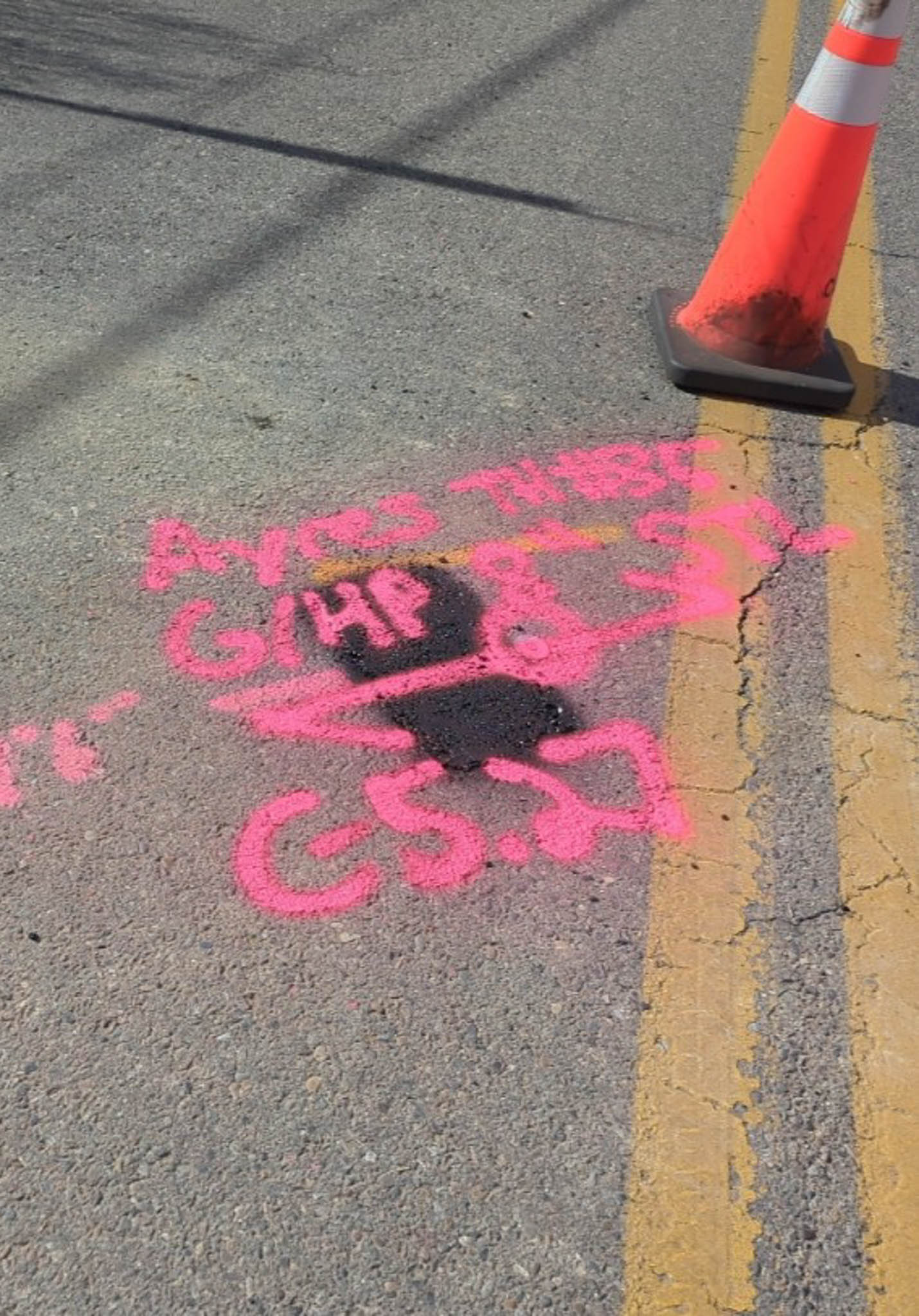
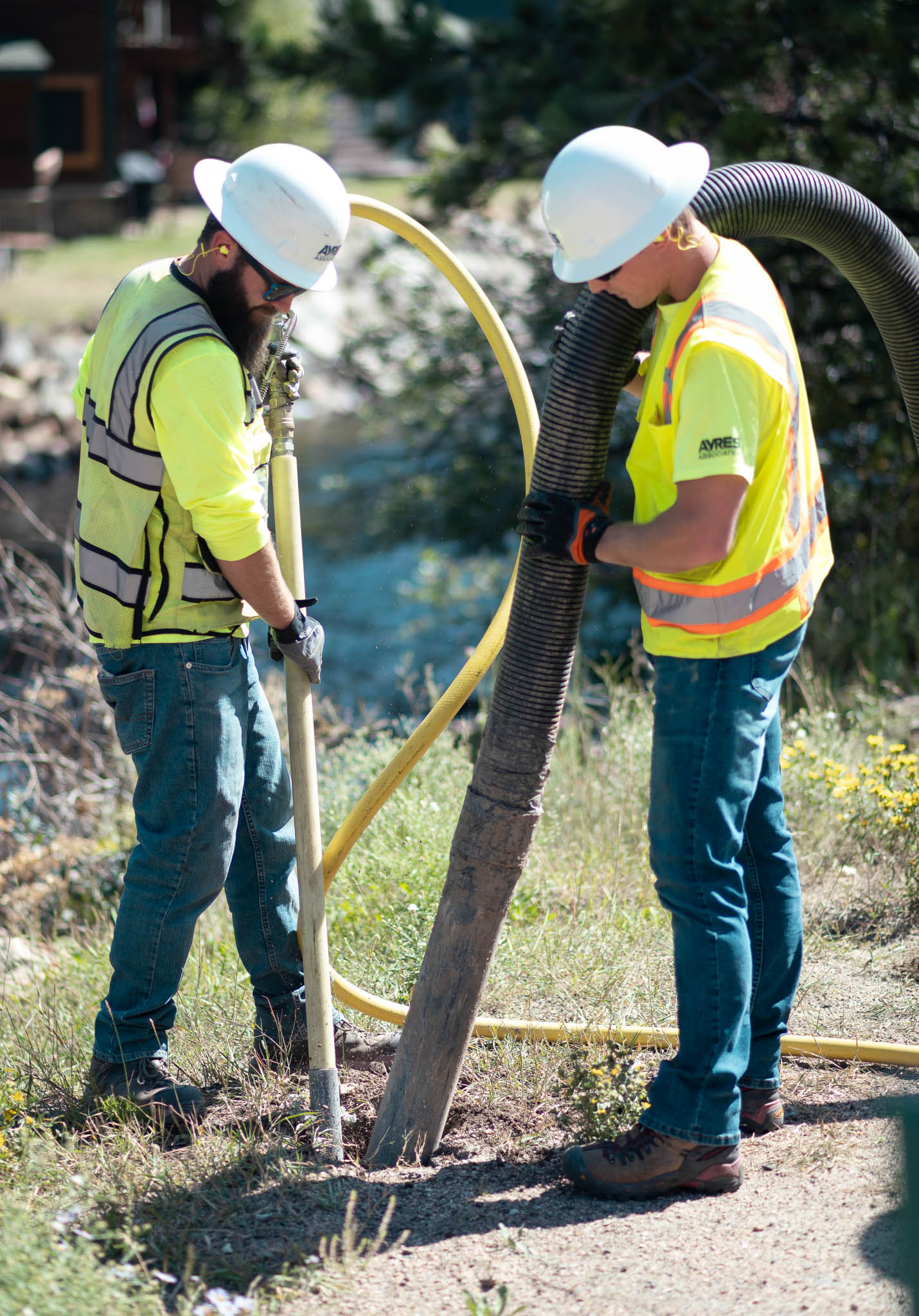
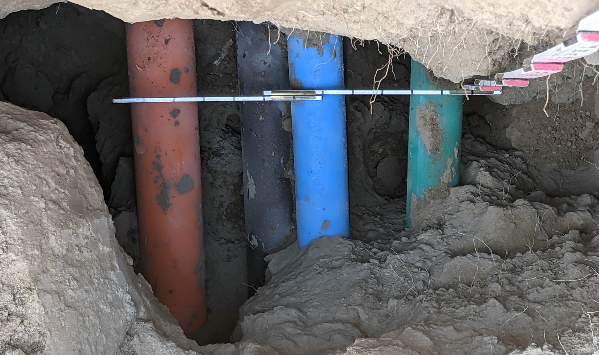
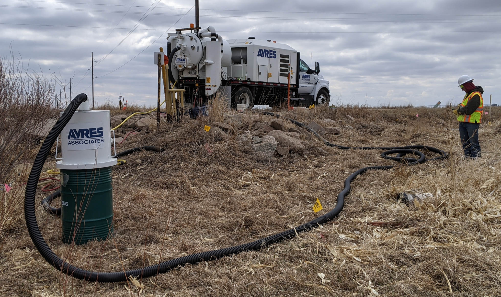
This significant infrastructure project involved the design and construction of a major drainage structure and road extension for Weld County Road 70. Ayres's SUE team provided comprehensive services, including records investigation, designating, and locating in strict accordance with ASCE 38-22 standards and Colorado SB 18-067.
Project Highlights
- QLB Designating for Intersections & 4,000 Feet of Road
- QLA Services (Nearly 40 Test Holes) on Gas Lines & Transmission Water Lines
- QLA Data Integrated into Sealed SUE Plans
- Extensive Coordination with Town, Colorado DOT & Utility Owners
Services Provided
- Quality Level A, B, C & D SUE
- Drainage Design
Markets:
Next: Cottonwood Creek Stabilization SUE
Market
Local Government
Client
City of Colorado Springs
Location
Colorado Springs, CO
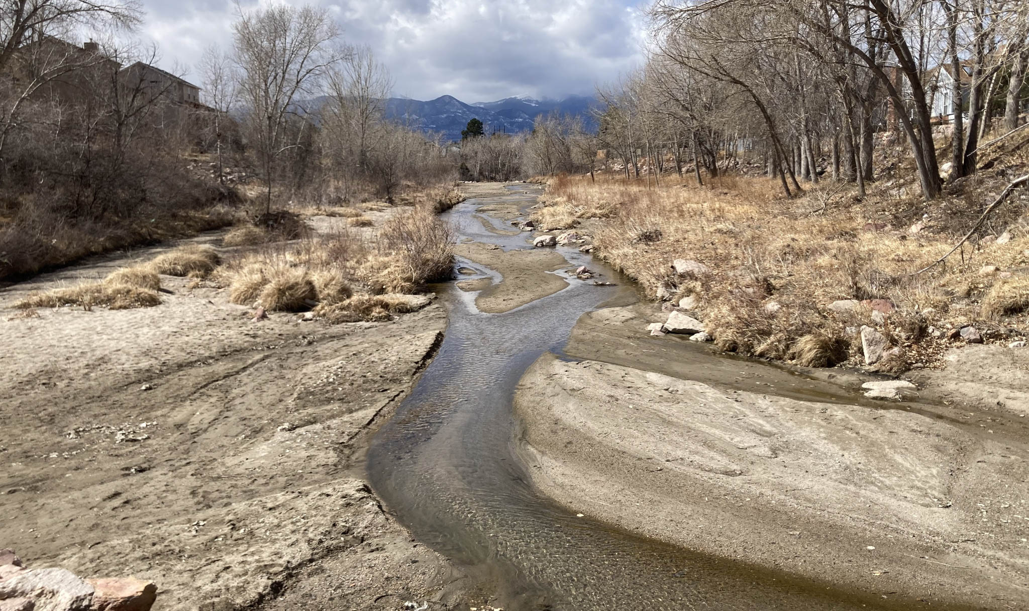
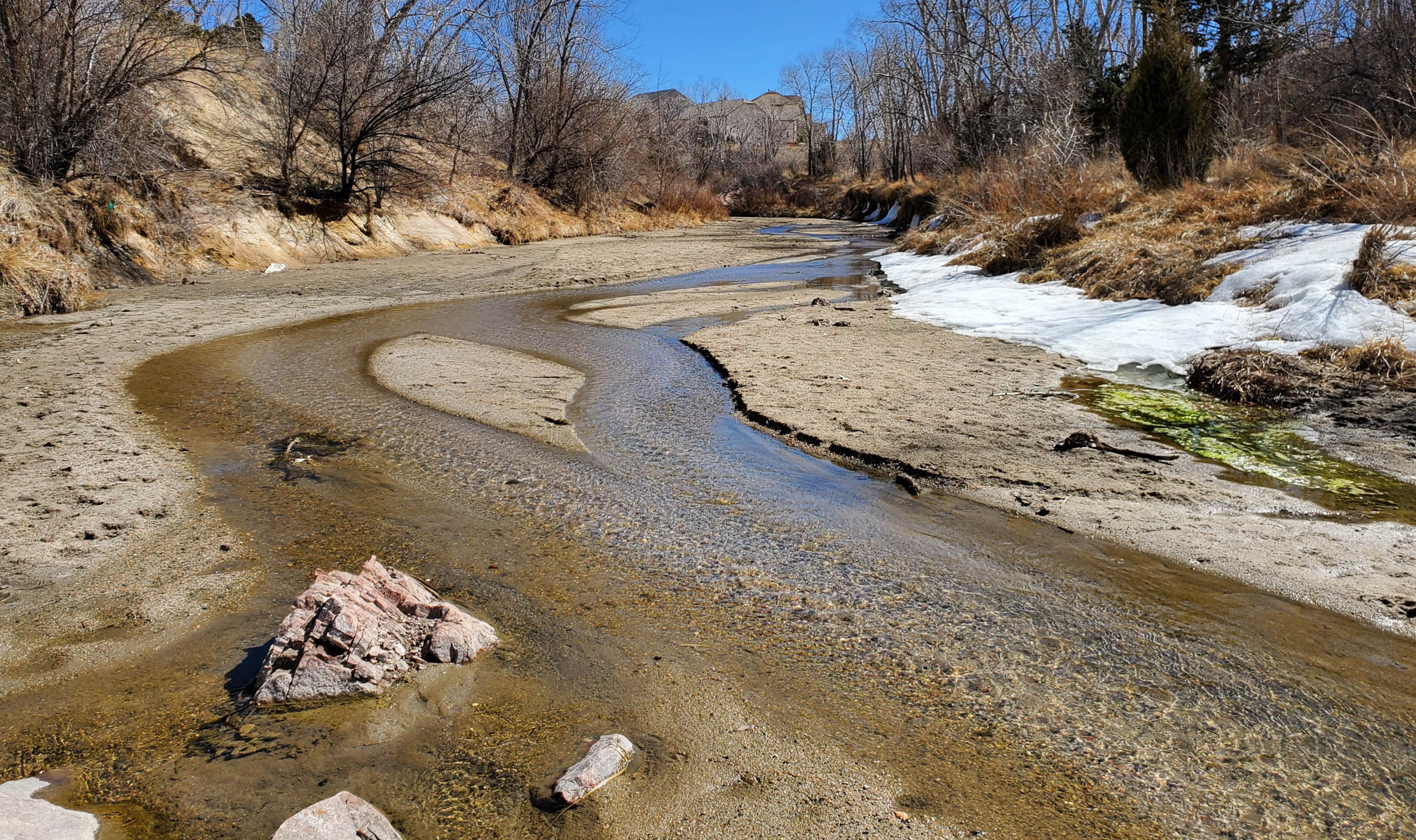
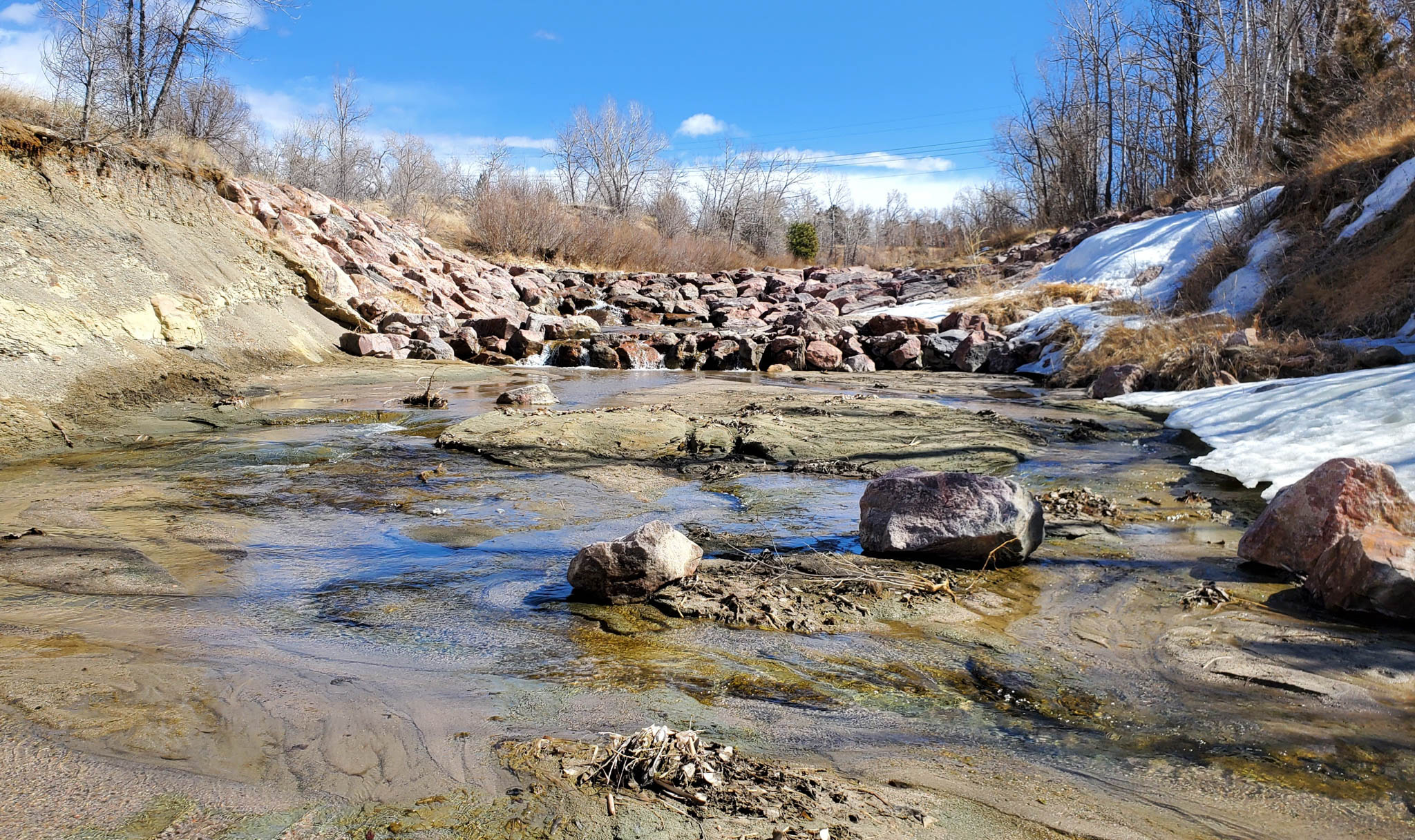
As part of Ayres’ channel stabilization project with the City, our survey and SUE teams provided specialized services. SUE used electromagnetic induction equipment to detect and designate subsurface utilities and provided utility coordination. Survey collected channel profiles, managed legal descriptions, and gathered geotechnical markings.
Project Highlights
- SUE Investigation Complied with Colorado SB18-067 & ASCE 38-22
- Resolved Utility Conflict Issues as Project Design Progressed
- Utility Coordination Services Supported Facility Relocation Needs
Services Provided
- Electromagnetic Induction Utility Designation
- 2D Hydraulic Analysis
- Floodplain & Environmental Permitting
- Channel Stabilization Design
- Land Surveying
Markets:
Next: Palisade Sewer Transfer Project
Over the past three years Otak has had the privilege of partnering with Ayres for subsurface utility engineering services on multiple public projects. ... The team’s technical expertise, professionalism, and collaborative spirit have played a significant role in the success of our projects. Ayres is a trusted teaming partner, and we look forward to continuing our successful relationship in the future.
Kevin Dooley, Transportation & Infrastructure Business Unit Leader, Otak
The Ayres team is very good to work with. They stuck to the forecasted delivery dates, and if there was an unforeseen issue to meet that date, (the project manager) was on the phone or email right away letting me know how this would impact the delivery of documents. Ayres did thorough research into the information we were needing, which resulted in easy application to our drawings. We will be contacting Ayres for any future SUE needs.
Eric Donaldson, Project Manager, Ripple Fiber
Ayres is always good with game planning and gathering all the information beforehand, and they are comprehensive in their scopes of service. … We’ve had good luck with getting Ayres to react to our schedule needs, especially with field work needed on short notice.
Kevin Mazzei, Project Manager, The Beck Group
Following are the four quality levels of subsurface utility engineering, according to the Federal Highway Administration, adapted from their definition:
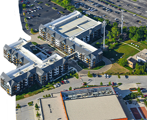
Quality Level D: The most basic level of information for utility locations. Comes solely from existing utility records or verbal recollections; both are limited in terms of comprehensiveness and accuracy. Useful primarily for project planning and project site selection.
Quality Level C: Involves surveying visible utility facilities (e.g., manholes, valve boxes, etc.) and correlating this information with existing utility records. Often this information shows that many underground utilities have been omitted or erroneously plotted. Useful for planning and projects where utilities are not prevalent or are not too expensive to repair or relocate.
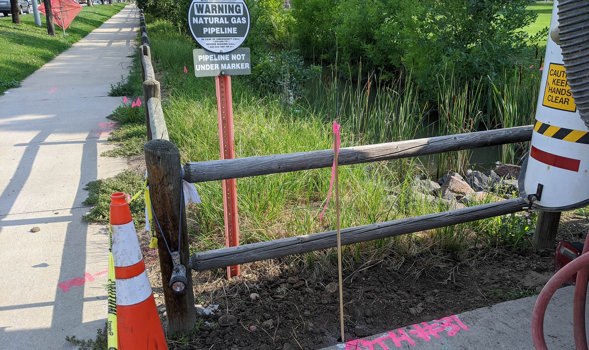
Quality Level B: Involves the application of surface geophysical methods such as electromagnetic locating or ground penetrating radar to “designate” the existence and horizontal position of utilities within the project limits. Information obtained is surveyed to project control. Addresses problems caused by inaccurate utility records, abandoned or unrecorded facilities, and lost references. Information can be used for preliminary engineering decisions regarding location of storm drainage systems, footers, foundations, and other design features to avoid conflicts with existing utilities. Slight adjustments in design can produce substantial cost savings by eliminating utility relocations.
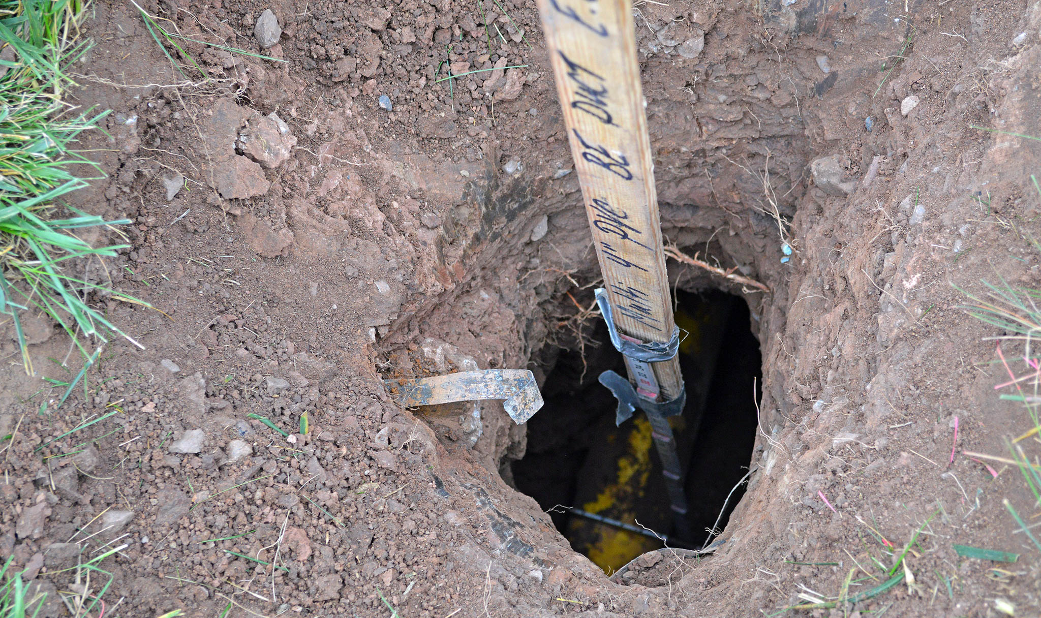
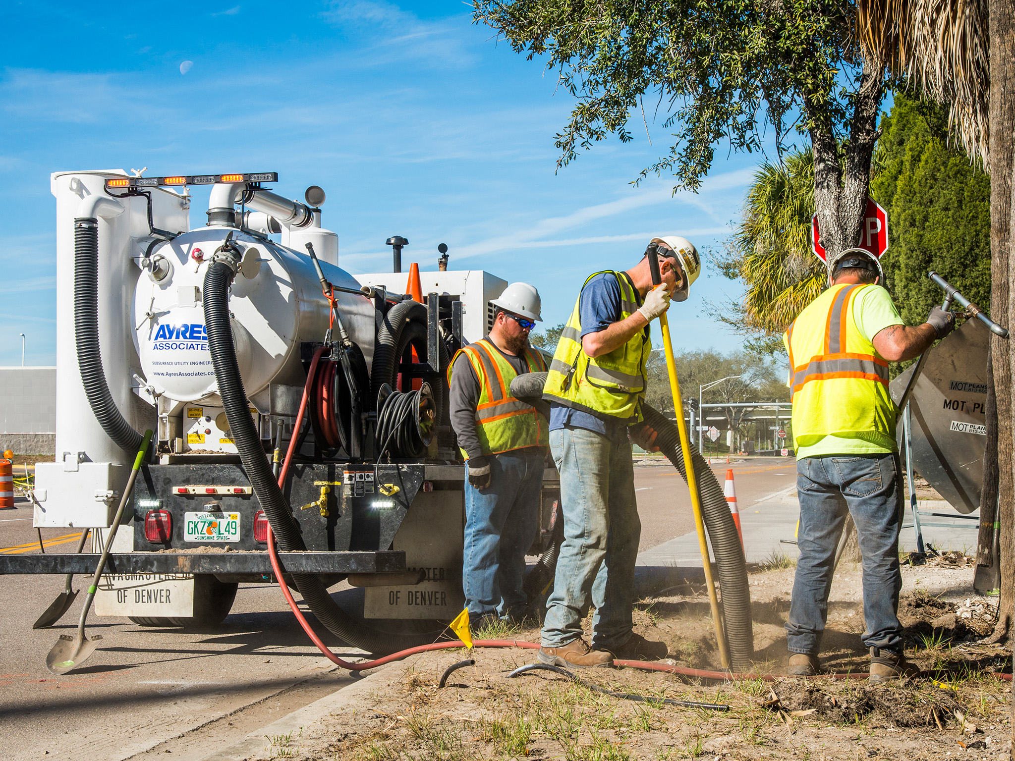
Quality Level A: Known as “locating,” this level provides the highest accuracy and involves full use of SUE services. Provides information for the precise plan and profile mapping of underground utilities through the nondestructive exposure of underground utilities, surveyed to project control. Also provides the type, size, condition, material, and other characteristics of underground features.
The appropriate quality level depends on the project stage, utility risk, design needs, and the consequences of a potential conflict. Quality Level D and Quality Level C information may be appropriate for early planning, while Quality Level B is commonly used to map the approximate horizontal position of utilities throughout a project area early in design. Quality Level A uses physical exposure and survey measurements to establish precise horizontal and vertical utility information at critical locations. Many projects benefit from a combination of quality levels, such as Quality Level B throughout the project limits and targeted Quality Level A test holes at potential utility conflicts and proposed gravity sewer crossings. Ayres can help determine where each quality level provides the greatest value for your project.
811, One Call, and Diggers Hotline locating are damage-prevention services intended to mark participating utility owners’ facilities before excavation. It is not designed to provide comprehensive, survey-grade utility information for project planning or design. Subsurface utility engineering (SUE) is performed under the responsible charge of a professional (PE, PLS, etc.) and combines utility records, field observations, geophysical locating, surveying, and – when needed – physical exposure through test holes. The resulting utility information is documented at defined quality levels to help designers identify conflicts, reduce uncertainty, and make informed project decisions. SUE complements – but does not replace – required One Call notification before excavation.
Ingenuity, Integrity, and Intelligence.


