



Invested in You

Engaged & Present
with Our Clients

Your Trusted Advisor
Local & State Government
Energy/Utilities/Telecom
Development/Commercial
Federal
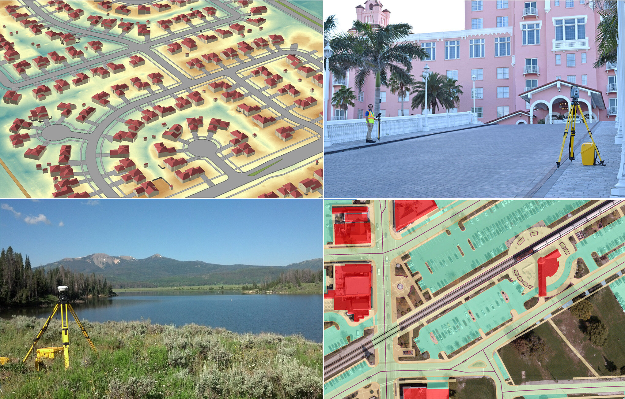
Manage Better With Data
Ayres is your trusted partner for comprehensive services to help agencies make informed decisions and confidently manage infrastructure. With nationally recognized expertise, Ayres delivers accurate, high-quality geospatial services tailored to transportation, public works, GIS, and natural resource projects.
Land Surveying
- Boundary, Topographic & Site Survey
- Engineering Design Surveys
- Geodetic Control & Ground Control
- Right-of-Way Plats
- Construction Staking & As-Built Survey
- HD Scanning & Mobile Lidar
Aerial Mapping
- Aerial Lidar & Imagery Acquisition
- Orthoimagery & Lidar Processing
- Photogrammetric Mapping
- UAS Acquisition & Processing
- Lidar & Imagery Online Viewers
Consulting
- GIS Applications & Data Hosting
- Grant Assistance & Consortium Building
Next: Energy/Utilities/Telecom

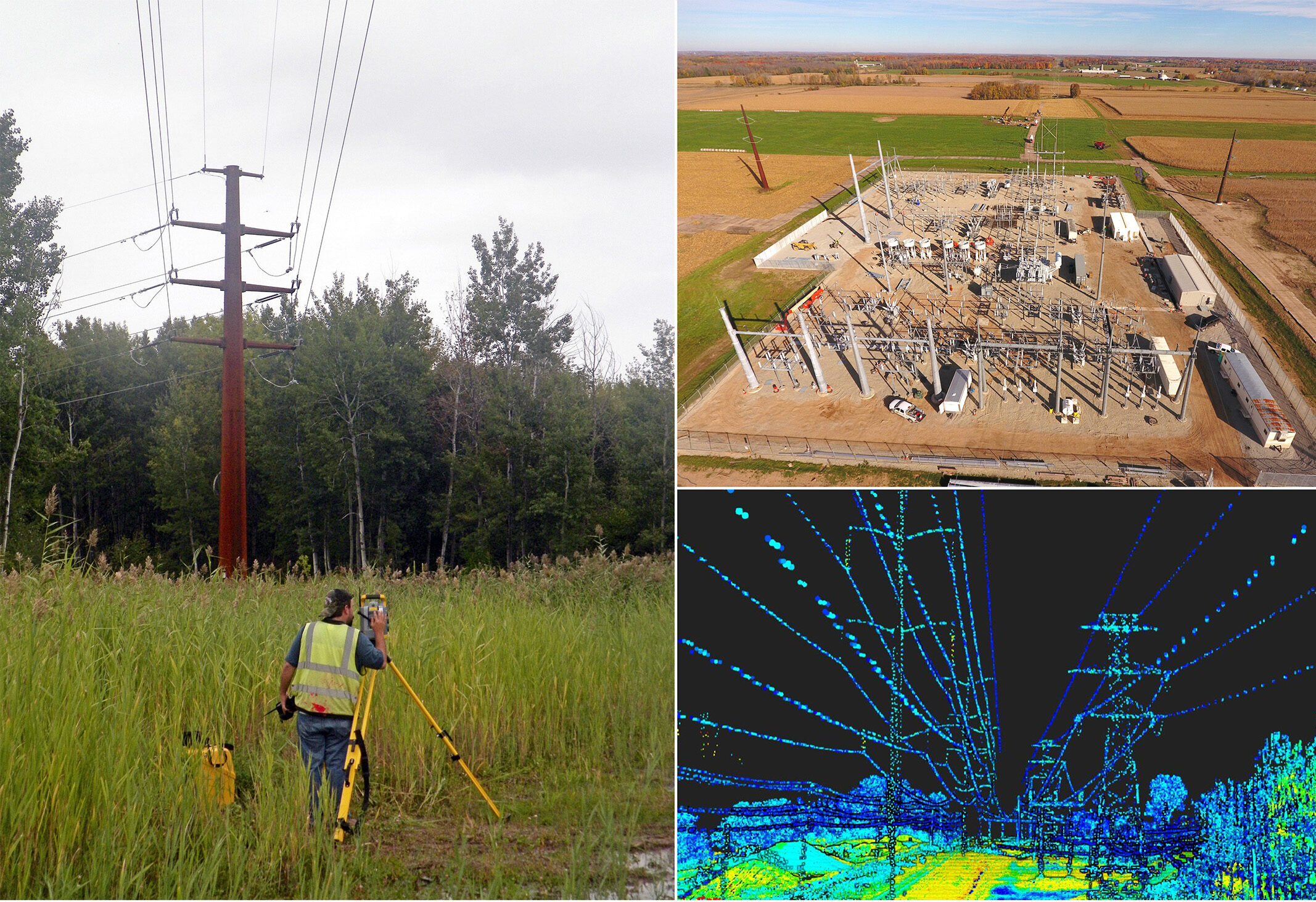
Low Risk, High Return
Ayres’ advanced technologies deliver the accurate geospatial information you need to design and manage transmission lines, distribution networks, utility assets, and telecommunications networks. Our professionals help you maintain and expand critical infrastructure while minimizing field costs and risk. Our surveying and mapping teams can mobilize crews and equipment to projects nationwide on short notice.
Land Survey
- Boundary, Topographic & Site Survey
- Easement Mapping & Exhibits
- Base Mapping & Corridor Mapping
- Construction Staking & As-Built Survey
- HD Scanning & Mobile Lidar
- Hydrographic & Bathymetric Survey
Aerial Mapping
- Aerial & Mobile Lidar & Imagery
- UAS Lidar & Imagery
- Asset Extraction & Mapping
- Vegetation Encroachment
Consulting
- GIS Conversion & Conflation
- Online Data Hosting & Delivery
- PLS-CADD Formatting
Next: Development/Commercial
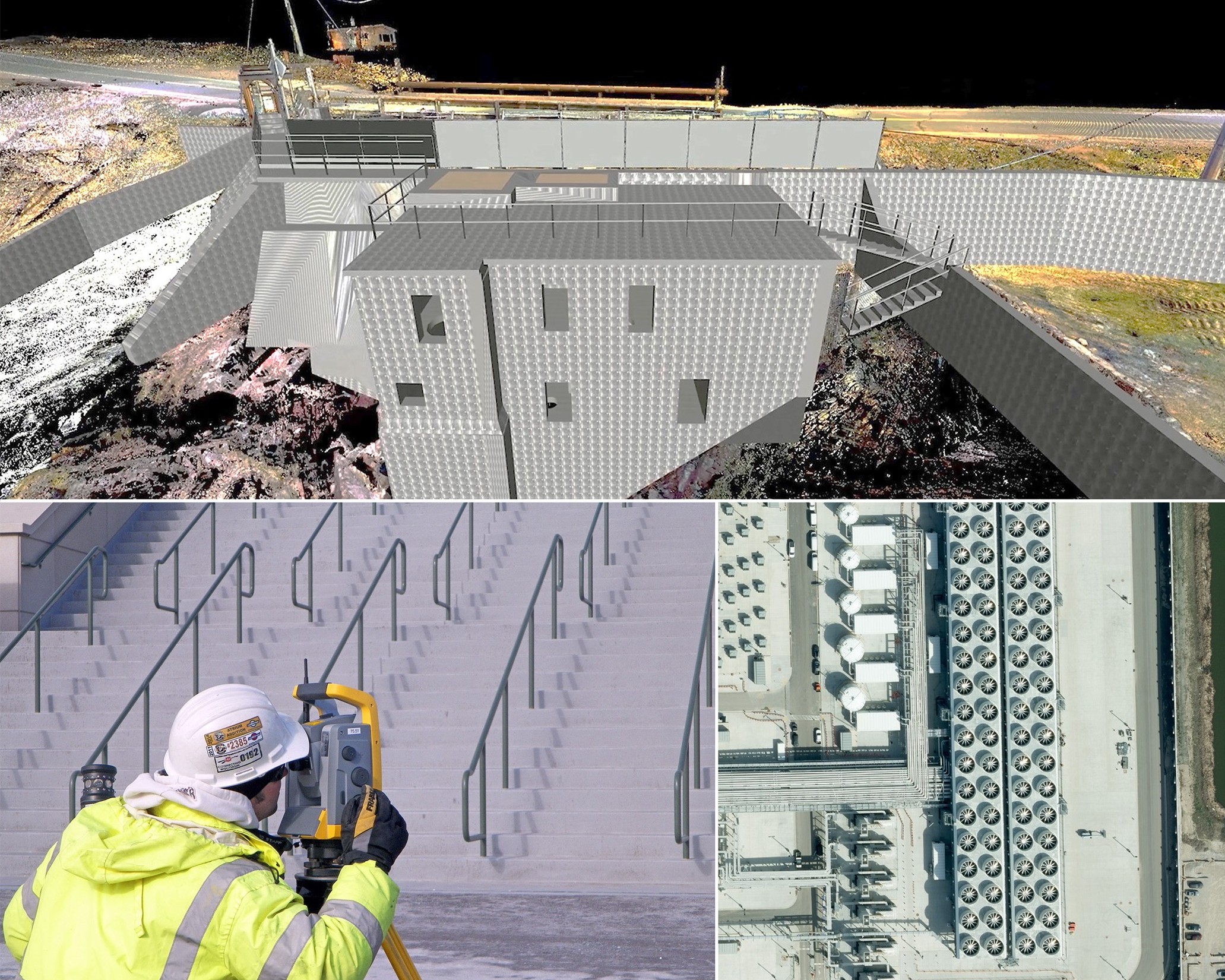
Know Every Inch of Your Site
Our teams deliver the accurate survey and geospatial data you need for site selection, due diligence, land acquisition, entitlement support, design, and construction planning. Our insights on commercial, industrial, mixed-use, and logistics developments help you understand site constraints, optimize layouts, streamline permitting, and reduce risk.
Land Survey
- Boundary, Topographic & Site Survey
- Construction Staking & As-Built Survey
- Engineering Design Surveys
- ALTA Surveys & Subdivision Plats
- HD Scanning
- 360 Imagery Tours
Aerial Mapping
- Aerial Lidar & Imagery
- Topographic & Planimetric Mapping
- UAS Orthos & Mapping
- Construction Progress Aerials
Next: Federal
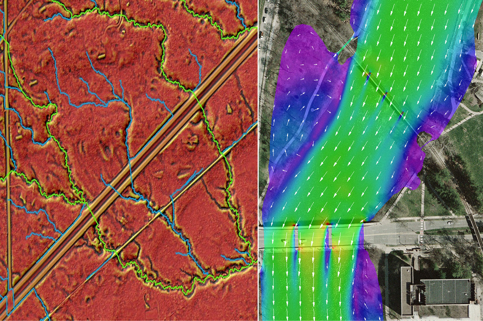
On Top of Elevation Mapping
Ayres is a leader in advanced elevation mapping, delivering the high-quality geospatial data required for USGS 3DEP, 3DHP, and topo-bathymetric mapping initiatives. With deep technical knowledge and proven experience on large-area mapping programs, Ayres’ expertise spans project planning, data acquisition, quality assurance, and production of topographic and hydrographic datasets supporting floodplain management, watershed analysis, infrastructure planning, emergency response, and natural resource management. Our surveying and mapping teams can mobilize crews and equipment nationwide.
Land Surveying
- Engineering Design Surveys
- Geodetic Control & Checkpoint Survey
- Boundary, Topographic & Site Survey
- Construction Staking & As-Built Survey
- Hydrographic & Bathymetric Survey
- HD Scanning
Aerial Mapping
- Aerial Lidar
- Orthoimagery
- 3DEP Lidar & 3DHP Mapping
- Shoreline Mapping
Next: Local & State Government
Land Surveying
Moriah Energy Center
|
Rougemont, NC

Geospatial
Aerial Mapping & Remote Sensing
Land Cover & Impervious Surface Mapping
|
Bozeman, MT
Geospatial
Easement Mapping & Exhibits
Grid Forward Central Wisconsin
|
Various Locations, WI
Geospatial
HD Scanning & Mobile Lidar
Union Pacific Railroad & US 41 Survey
|
Milwaukee, WI
Geospatial
Hydrographic & Bathymetric Survey
Kingsley Dam Topographic Survey
|
Ogallala, NE
Geospatial

River Engineering + Water Resources
GIS Consulting
Ayres Lidar Online 3D Viewer
|
Portage County, WI
Geospatial
Unmanned Aerial Systems
Toyota Battery Manufacturing Facility
|
Greensboro, NC
Geospatial
Federal Grant Assistance
USGS 3DEP Program
|
Dane County, WI
Geospatial
Market
Energy + Utilities + Tech
Client
Dominion Energy
Location
Rougemont, NC
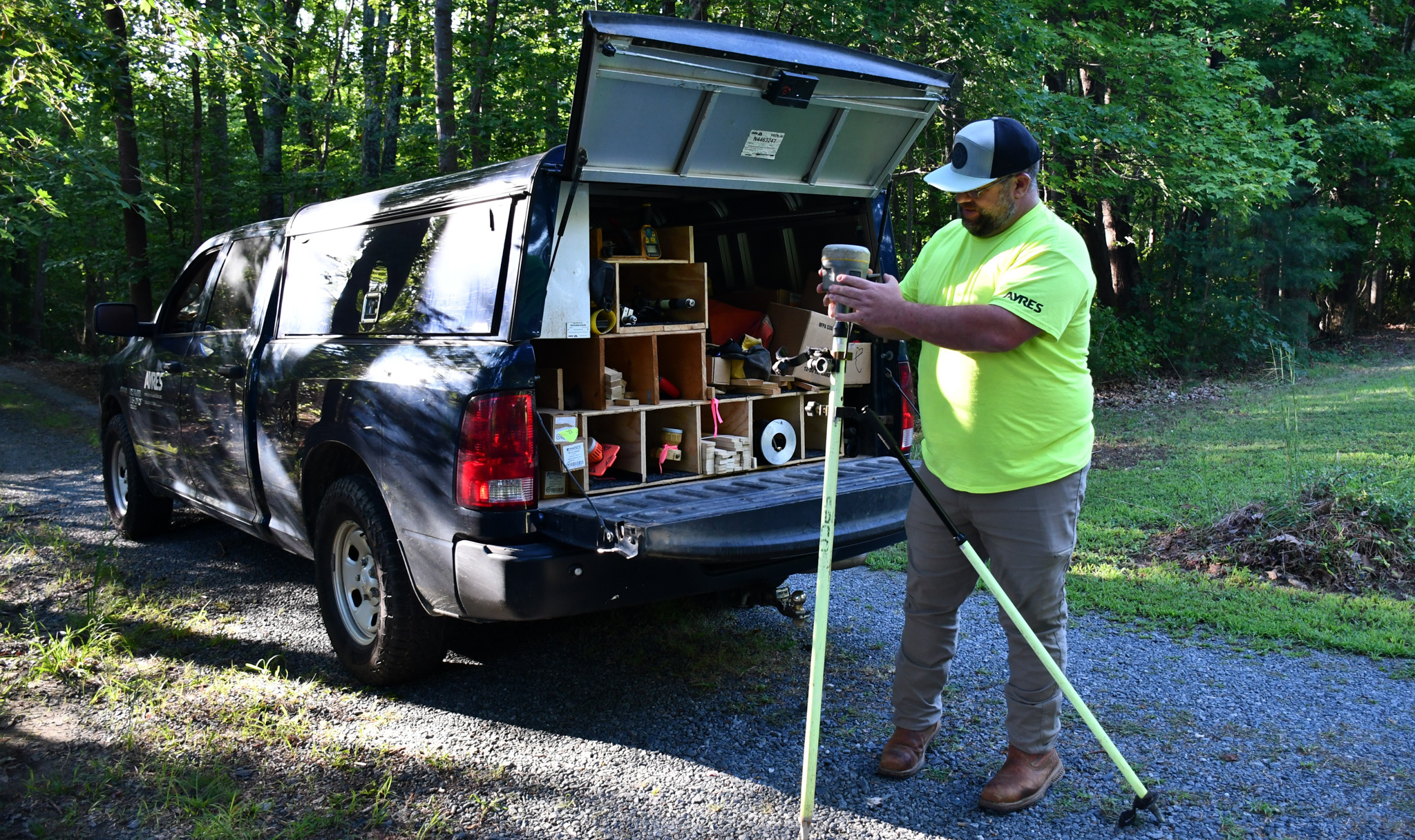
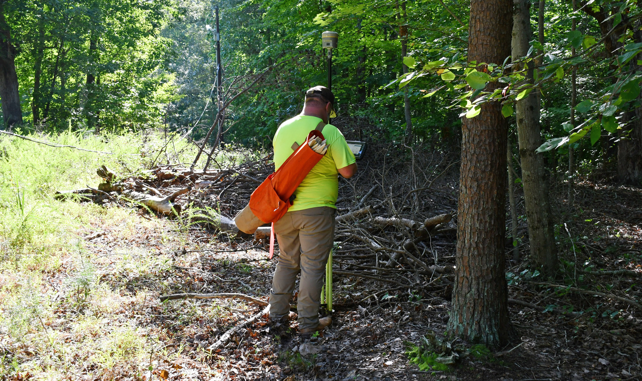
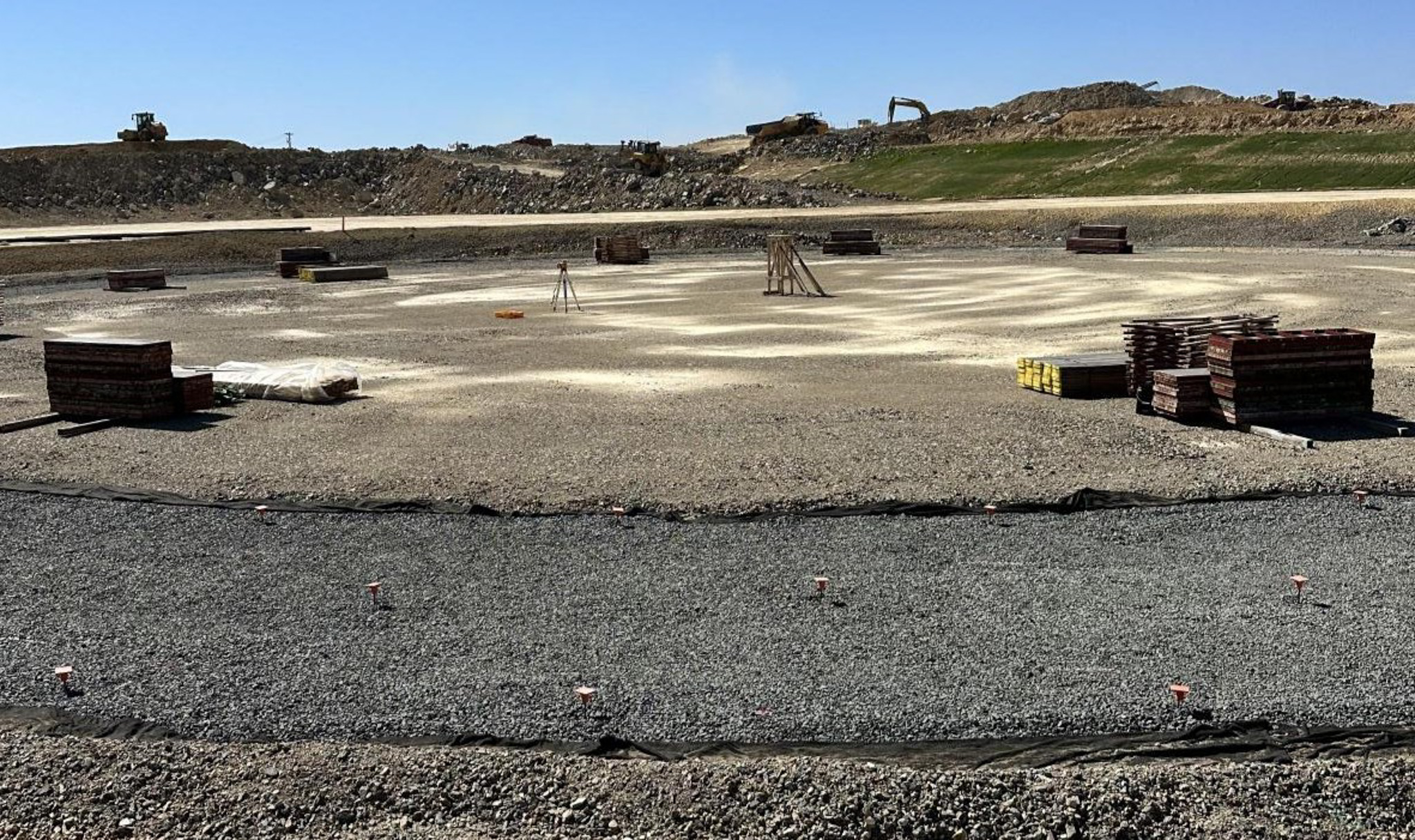
Ayres provided services for the Moriah Energy Center during preliminary design and early construction, beginning with a lidar-based topographic survey to establish site conditions and support design. The team staked and flagged clearing corridors and laid out seismic refraction survey lines to support site preparation and geotechnical investigations. Ayres performed staking for limits of disturbance, drainage features, access roads, and utilities.
Project Highlights
- Collaboration Among Consultants
- Geospatial Services from Predesign to Construction
- Support for Geotechnical Investigations
- Series of As-Builts Helped Verify Conformance with Plans
Services Provided
- Land Surveying
- Aerial Mapping
- Remote Sensing
Markets:


Next: Land Cover & Impervious Surface Mapping
Market
Local Government
Client
City of Bozeman
Location
Bozeman, MT
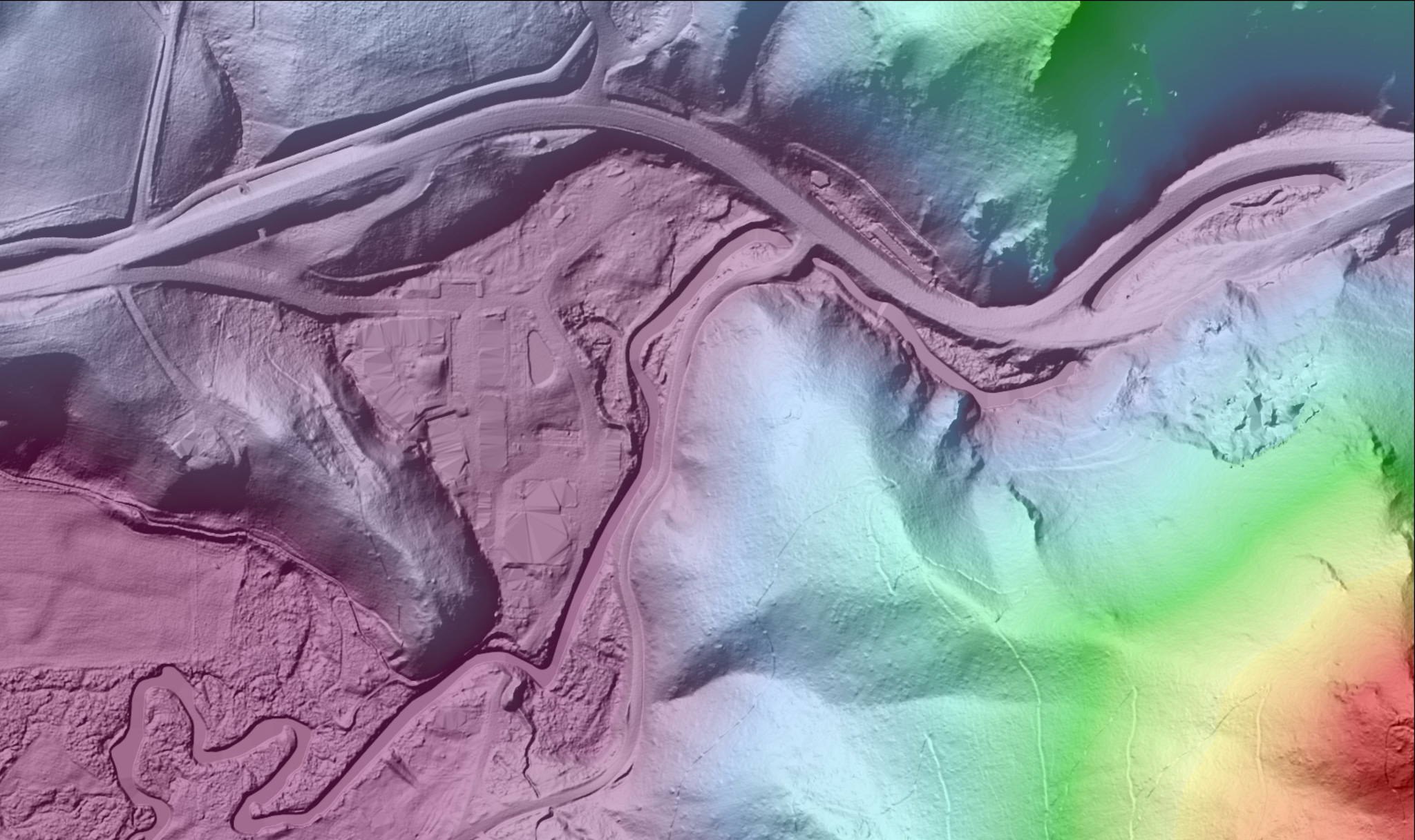
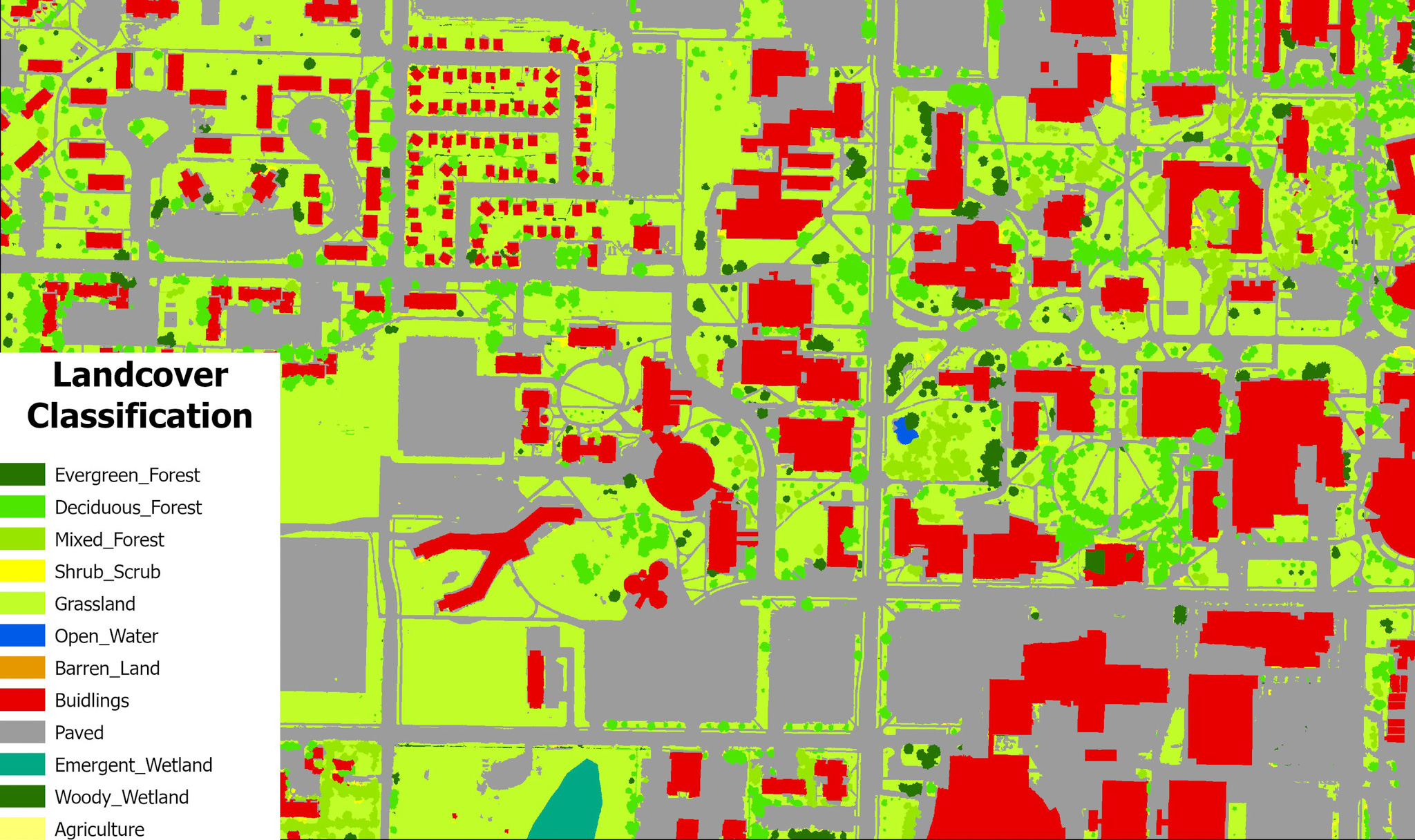
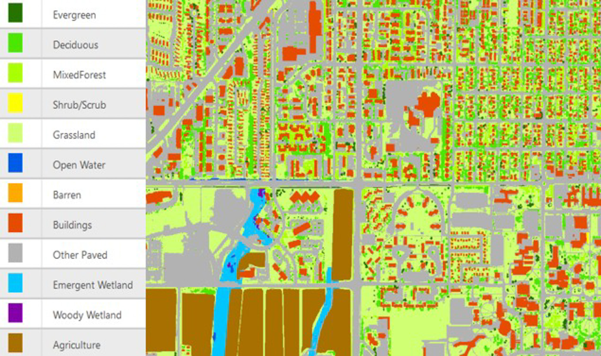
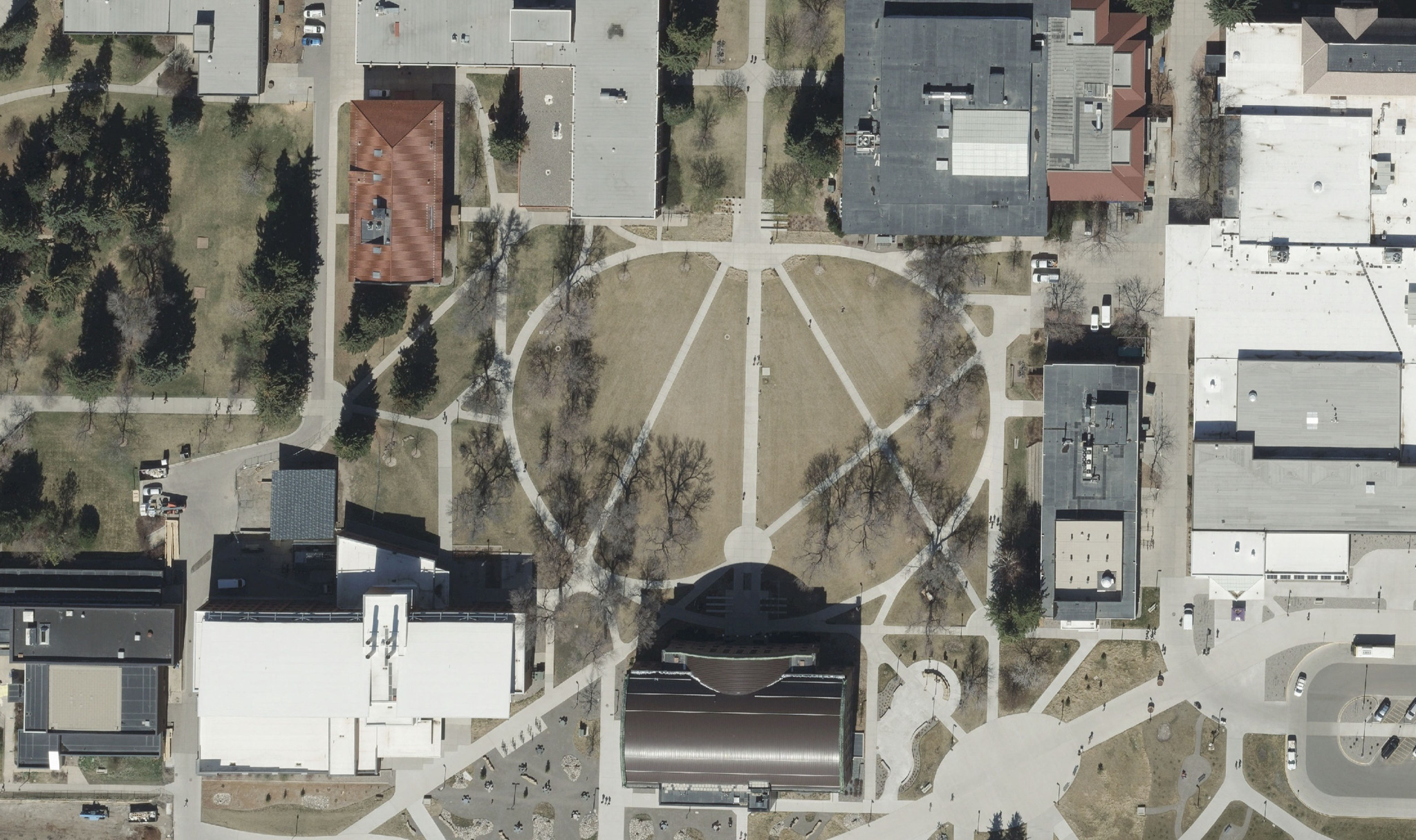
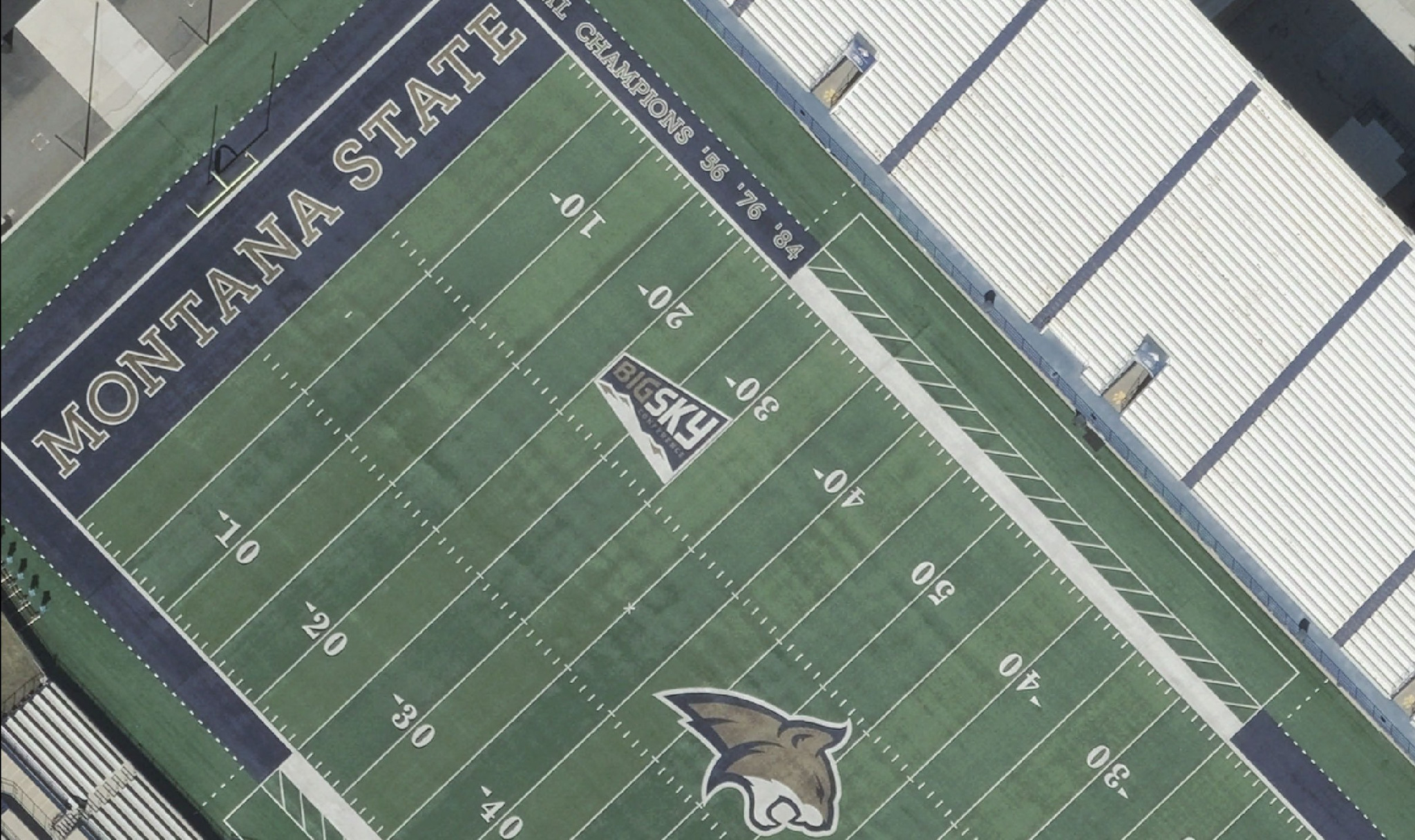
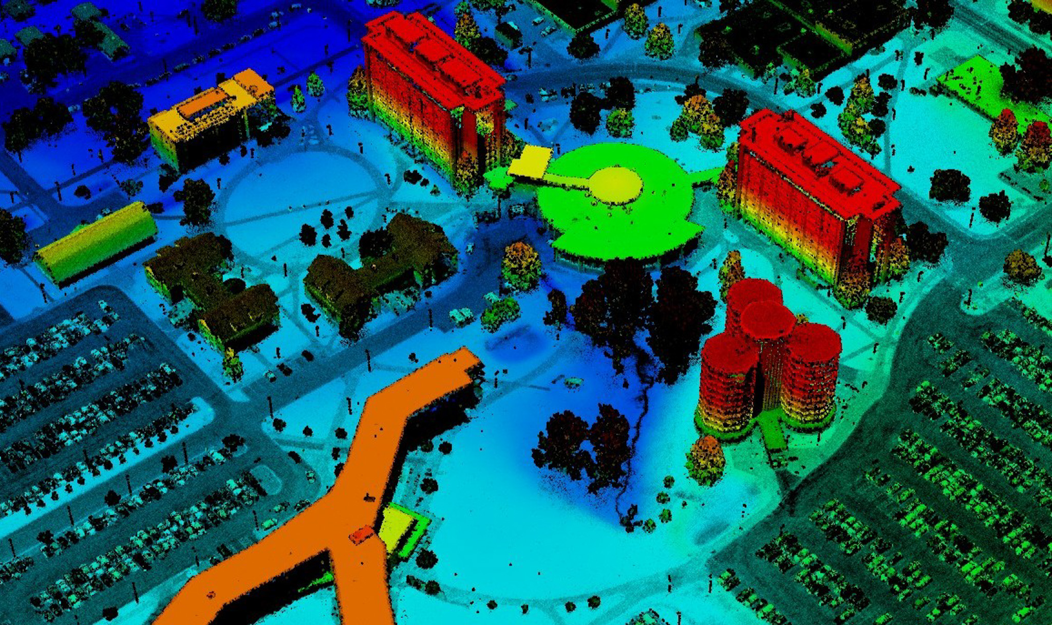
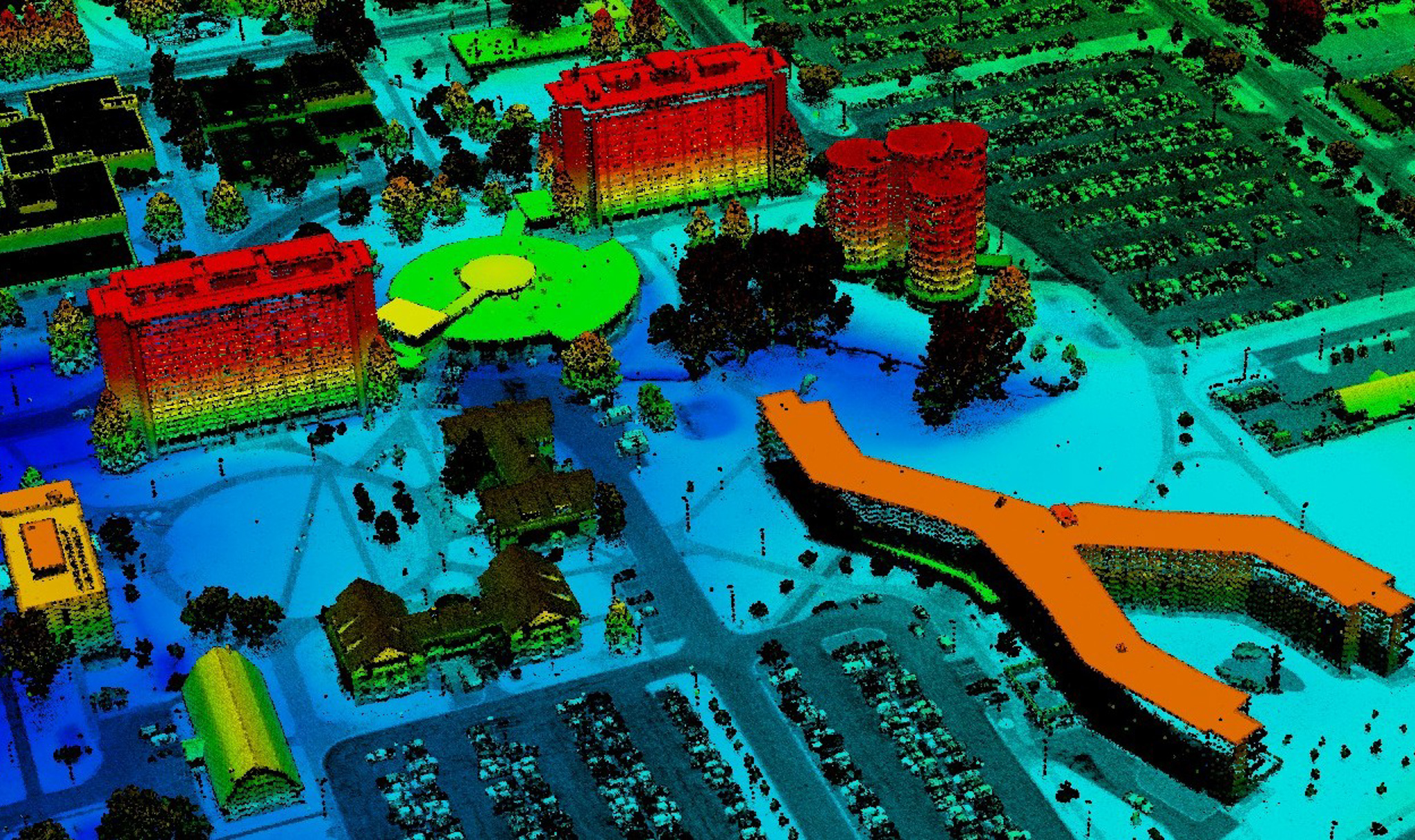
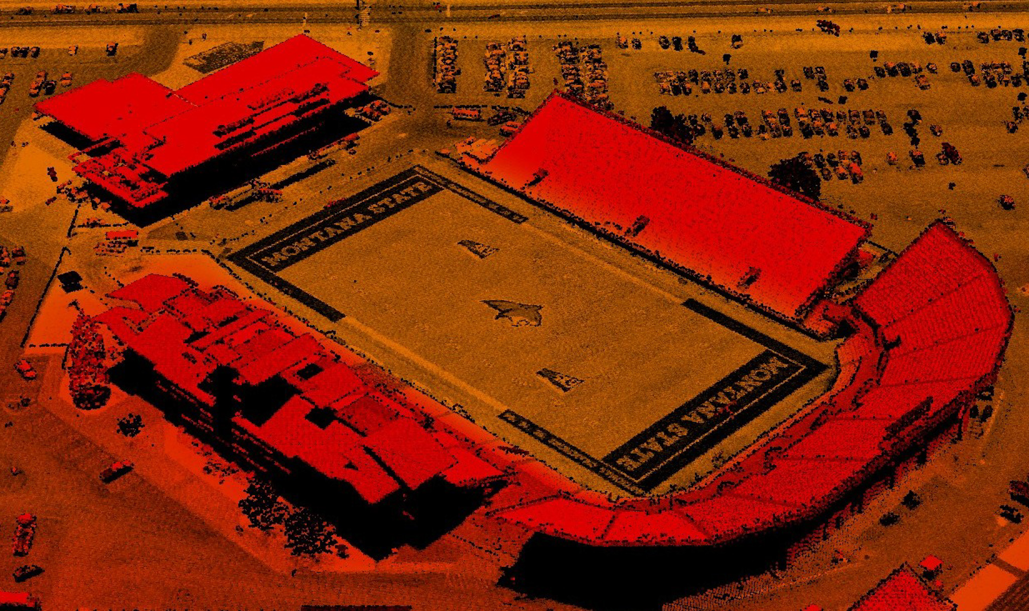
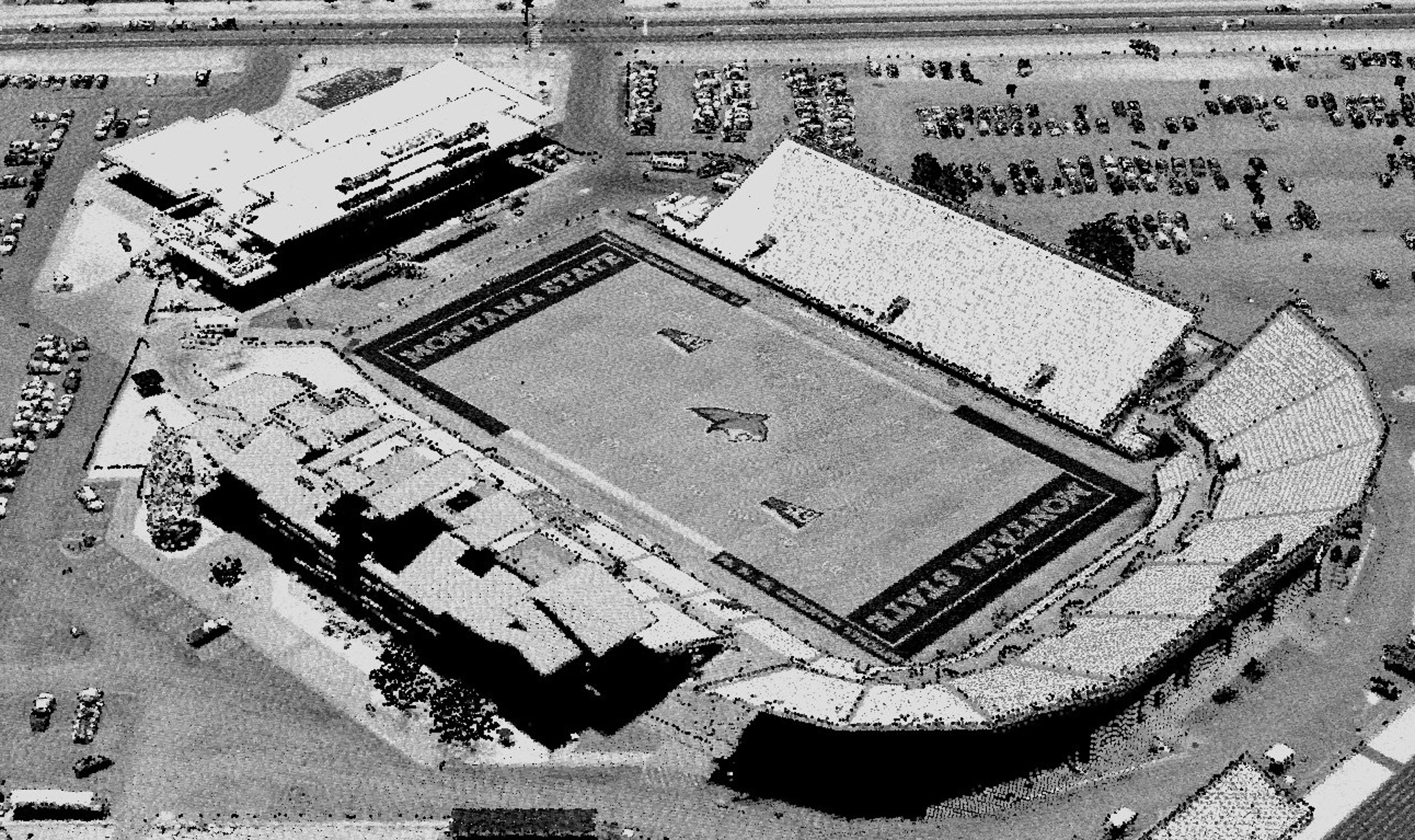
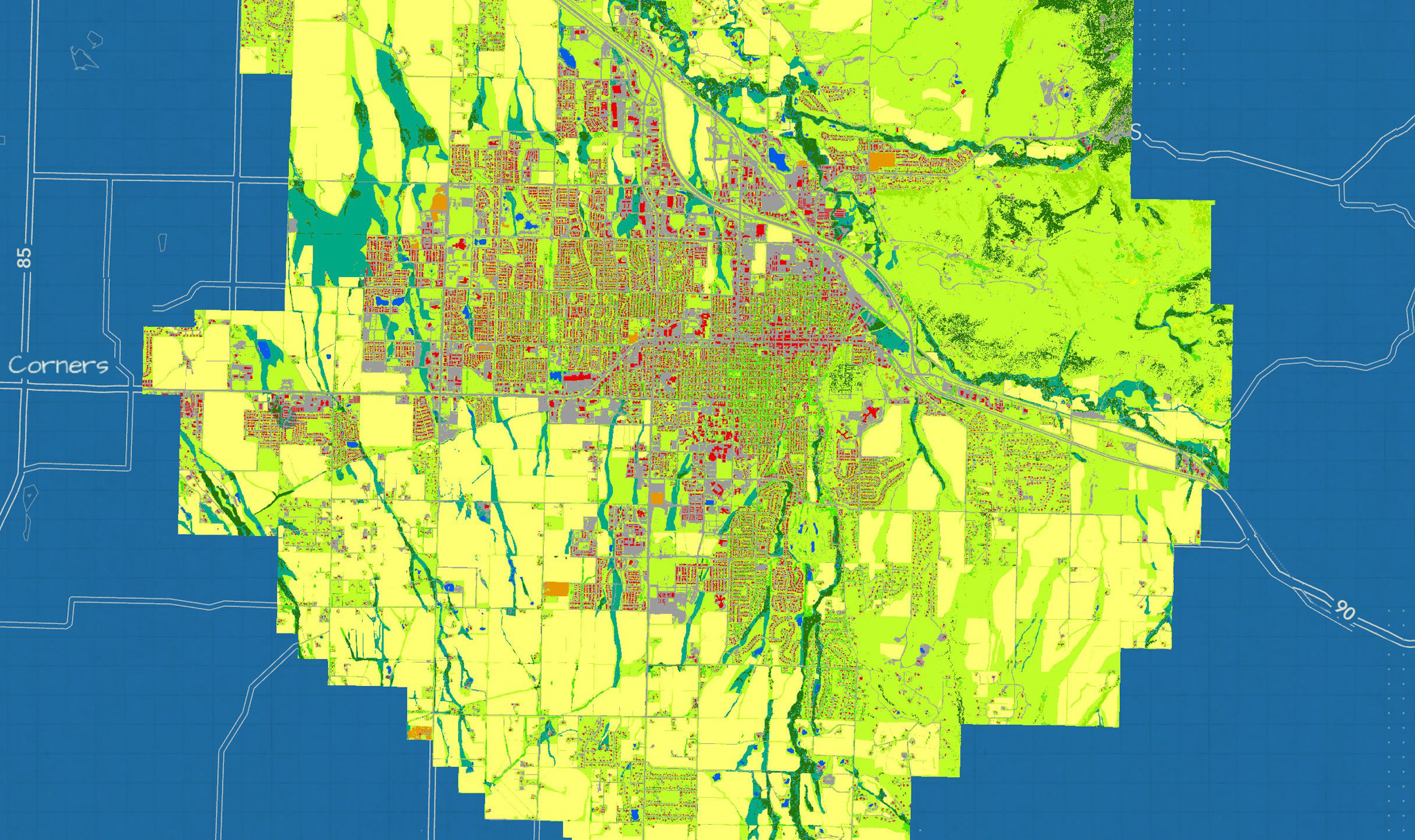
Ayres has provided the City of Bozeman with orthoimagery, lidar, and land cover mapping services for several years. In 2023 Ayres used aerial imagery and lidar data to map land use and land cover across a 78-square-mile area. The mapping supports the City's water resource and conservation planning efforts amid continued growth and development. Additional work has refined impervious surface datasets, including detailed sidewalk mapping.
Project Highlights
- Remote Sensing for Land Cover Mapping
- Photogrammetric Mapping of Impervious Surfaces
- Support Water Resource & Conservation Planning
Services Provided
- Aerial Mapping
- Remote Sensing
- GIS Consulting
Markets:
Next: Grid Forward Central Wisconsin
Project Highlights
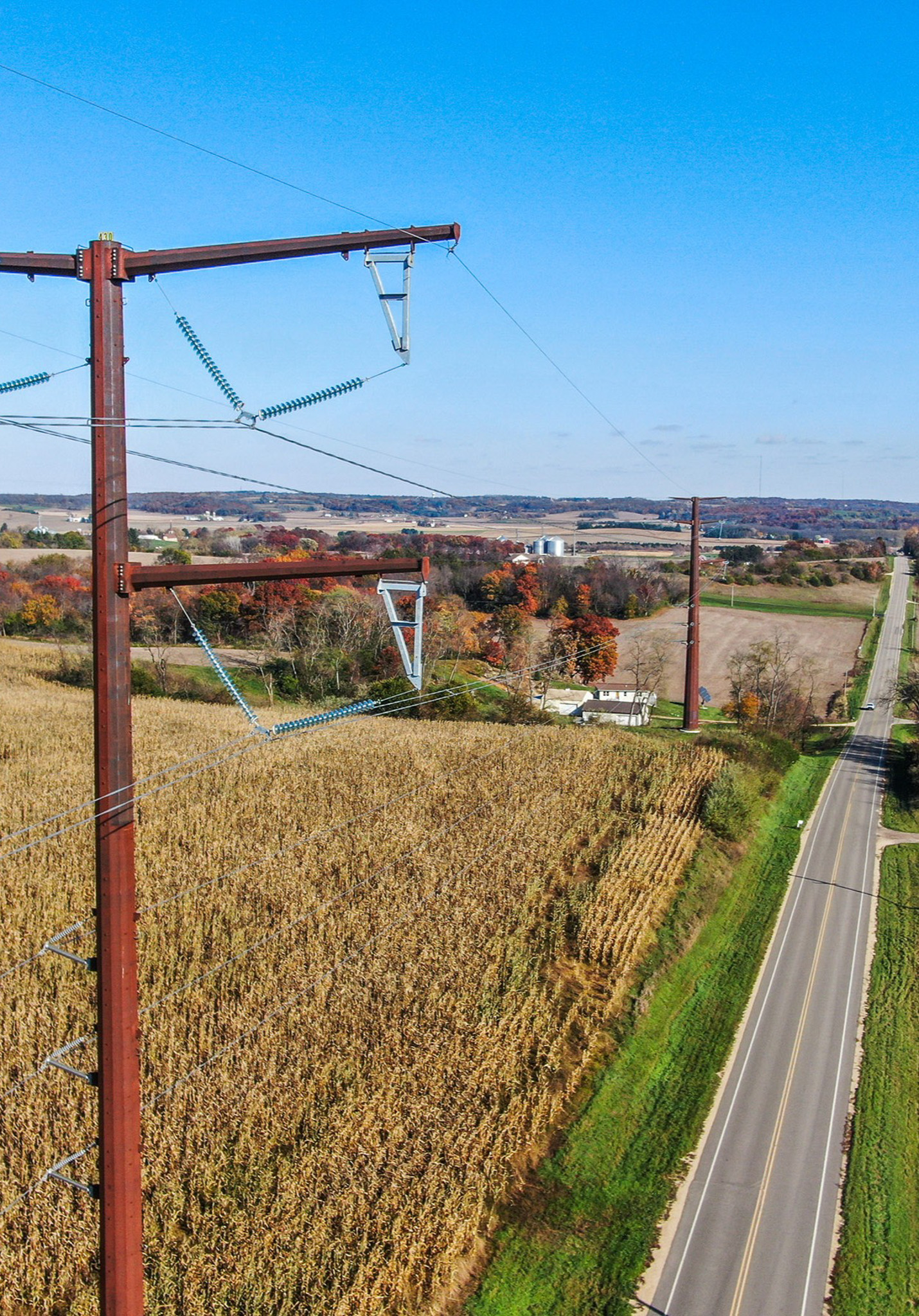
- New & Upgraded 345 kV Transmission Infrastructure
- Improved Grid Reliability, Transmission Capacity & Renewable Energy Delivery
- Accurate Land Survey & Aerial Mapping Data
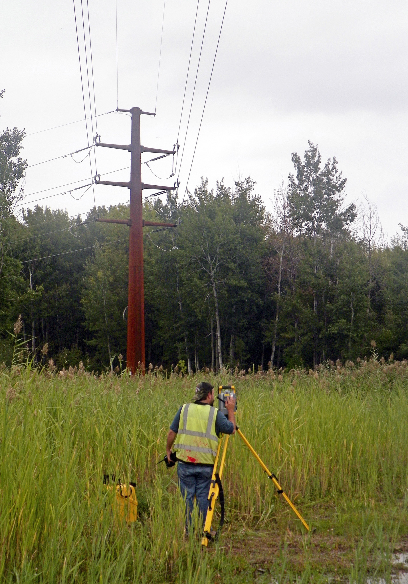
- Easement Exhibit Preparation & Construction Staking Services
Services Provided
- Land Surveying, Aerial Mapping & Remote Sensing
- Easement Mapping & Exhibits
- Unmanned Aerial Systems
Market
Energy + Utilities + Tech
Client
ATC
Location
Various Locations, WI
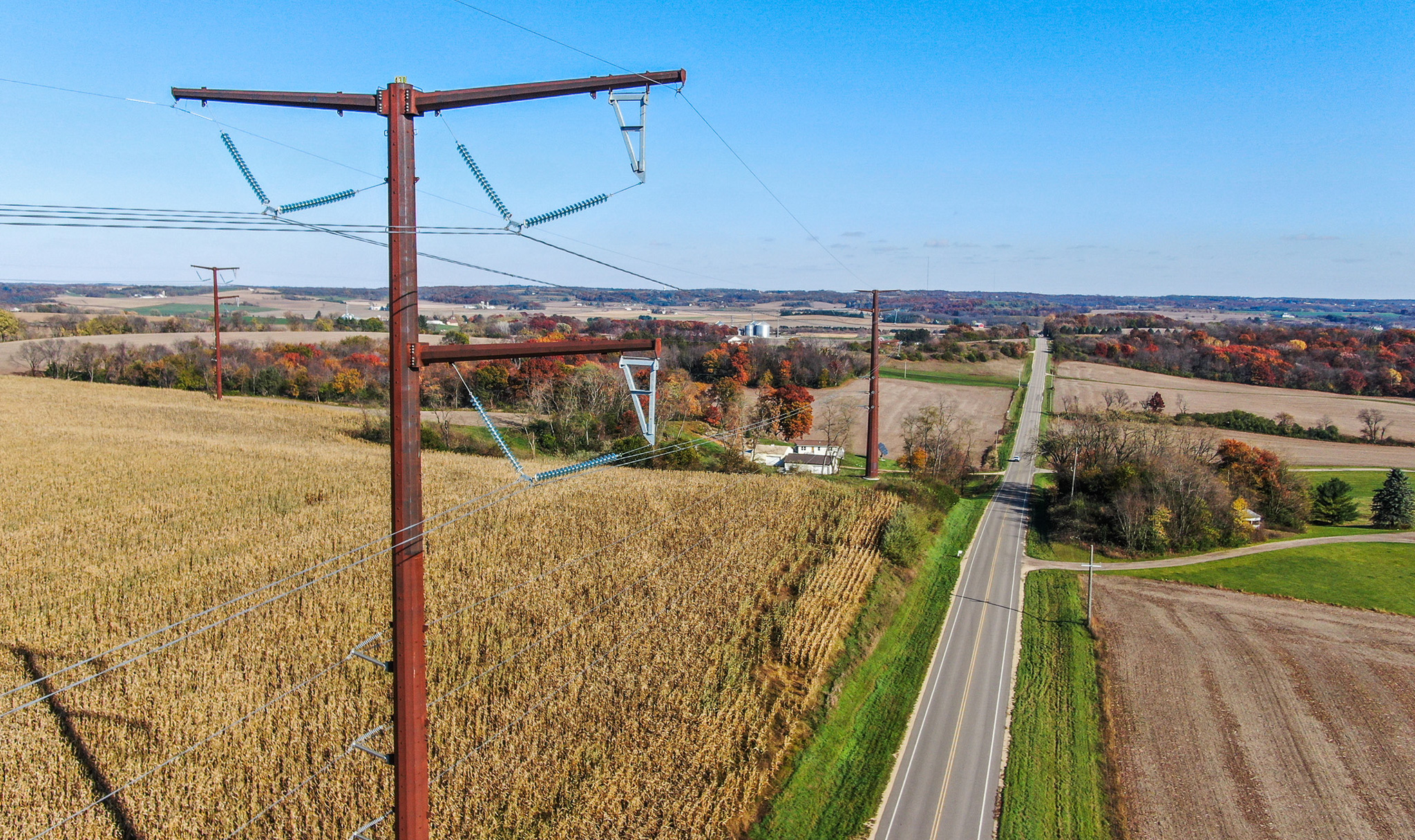
Grid Forward Central Wisconsin is a regional transmission initiative designed to improve grid reliability, increase transmission capacity, and support the delivery of renewable energy across Wisconsin. Ayres is providing base mapping, orthoimagery, digital terrain models, easement exhibits, and construction staking. These services deliver accurate and timely data and field support necessary for efficient project development and construction.
Markets:
Next: Union Pacific Railroad & US 41 Survey
Market
State + Federal + Tribal
Client
Wisconsin DOT
Location
Milwaukee, WI
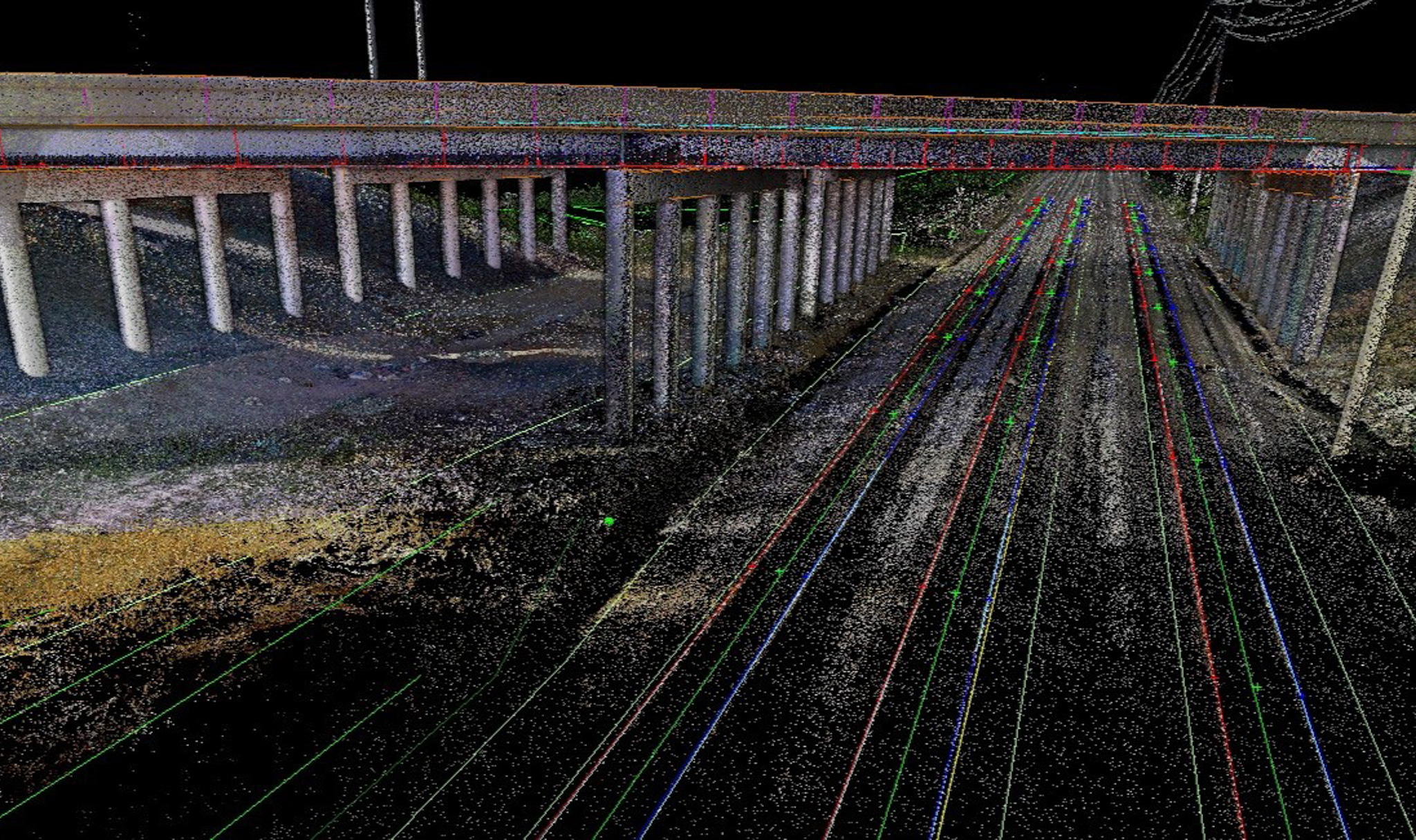
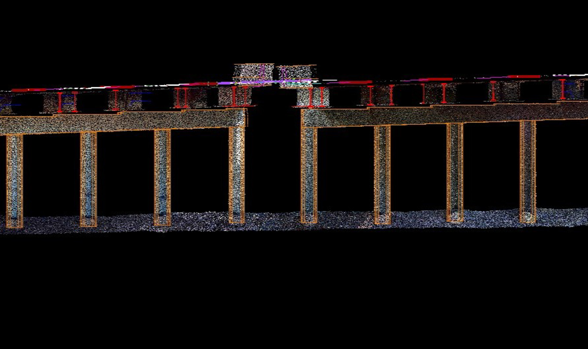
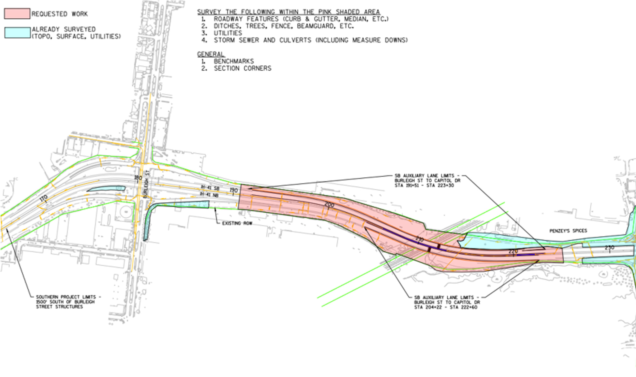
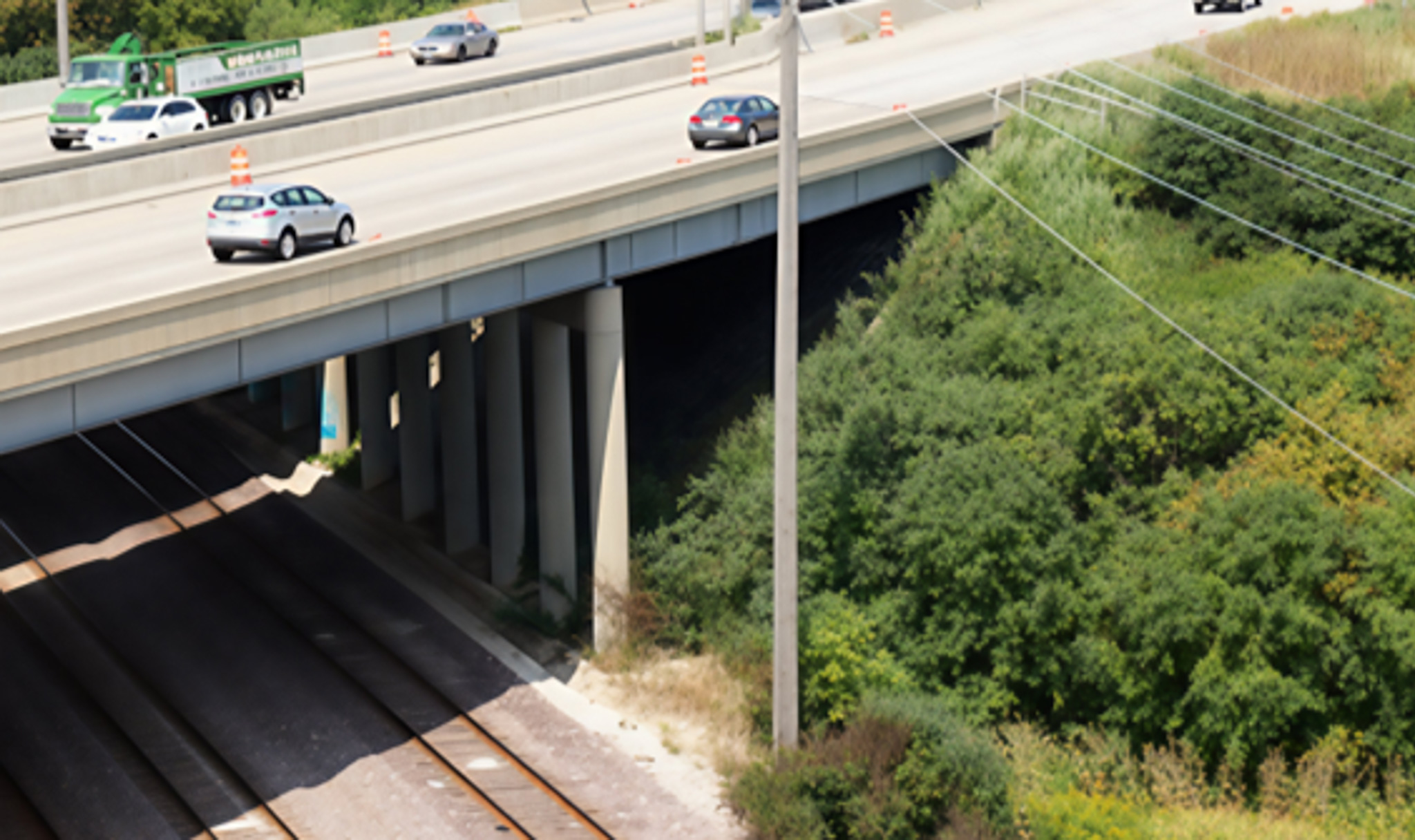
Ayres provided surveying and mapping support for the reconstruction and capacity expansion of I-41 between Capitol Drive and Burleigh Street. The use of high-definition laser scanning supported the design of additional lanes on the bridges crossing rail lines, including establishing survey control, topographic data collection, feature location, utility coordination, mapping preparation, and processing of survey data for highway and bridge design.
Project Highlights
- Surveying & HD Laser Scanning for WisDOT Southeast Region
- Supported Bridge Construction & Expansion over Milwaukee Rail Corridor
- Surveyed Topographic & Utility Data
- Established Survey Control
Services Provided
- Land Surveying
- HD Scanning
Markets:
Next: Kingsley Dam Topographic Survey
Market
Energy + Utilities + Tech
Client
Central NE Public Power
Location
Ogallala, NE
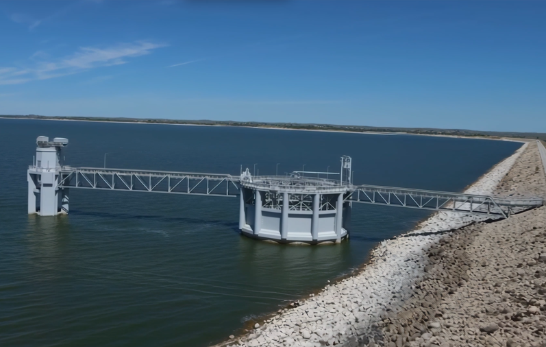
Ayres was part of a team of consultants that provided topographic surveying, bathymetric survey, and aerial mapping at Kingsley Dam and Lake McConaughy in Keith County, Nebraska. These services supported the Kingsley Dam Upstream Slope Protection Project to reface the eroded riprap along the state's largest dam. It is also expected that the Kingsley surveying and mapping will serve as the baseline topography going forward.
Project Highlights
- Surveyed Nebraska’s Largest Dam on Lake McConaughy
- Supported Kingsley Dam Upstream Slope Protection Project
- Established Baseline Topography for Future Monitoring & Planning
- Collaborated with Multidisciplinary Project Team
Services Provided
- Land Surveying
- Aerial Mapping & Remote Sensing
- Hydrographic & Bathymetric Surveying
Markets:
Next: Ayres Lidar Online 3D Viewer
Market
Local Government
Client
Portage County
Location
Portage County, WI
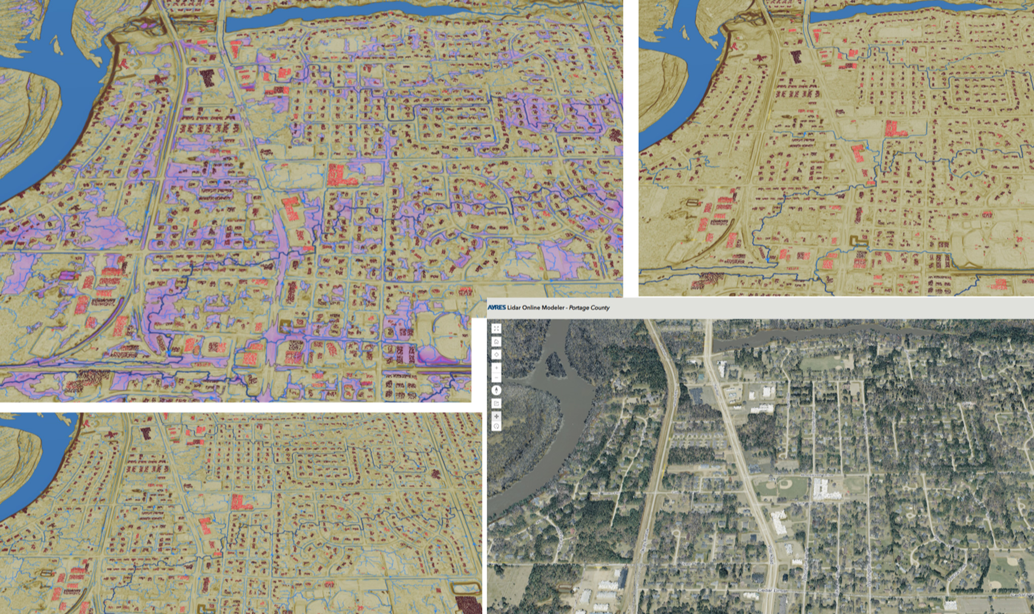
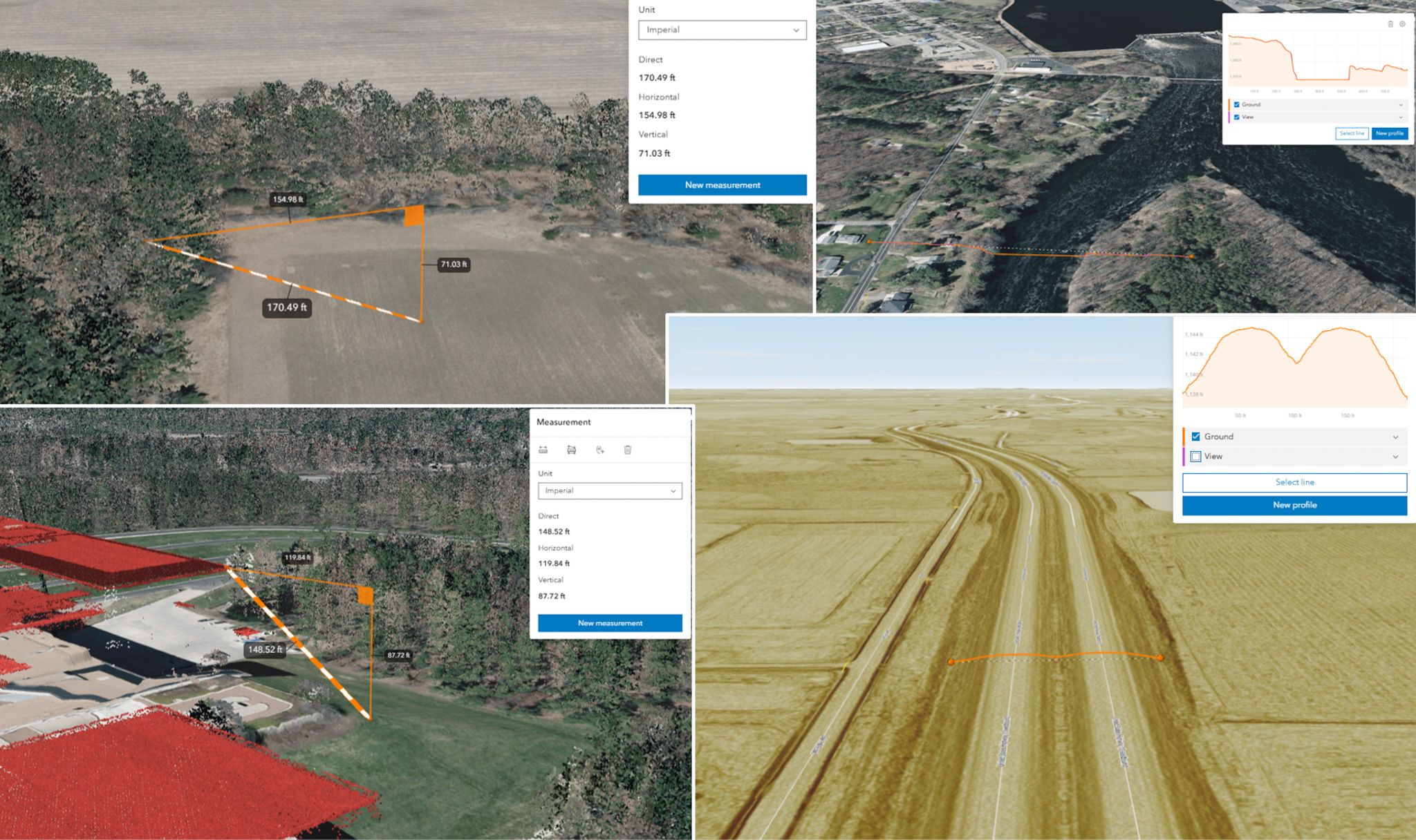
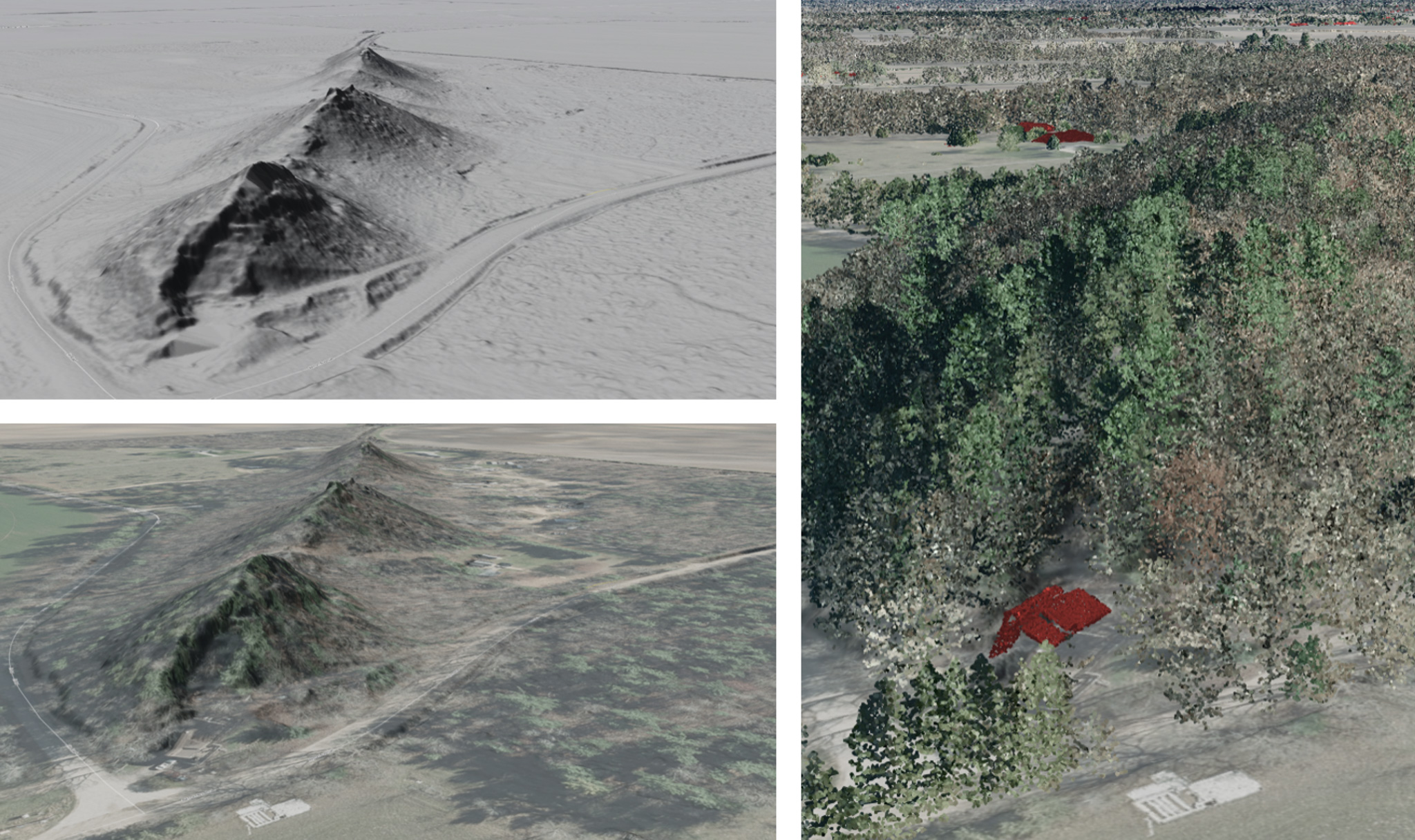
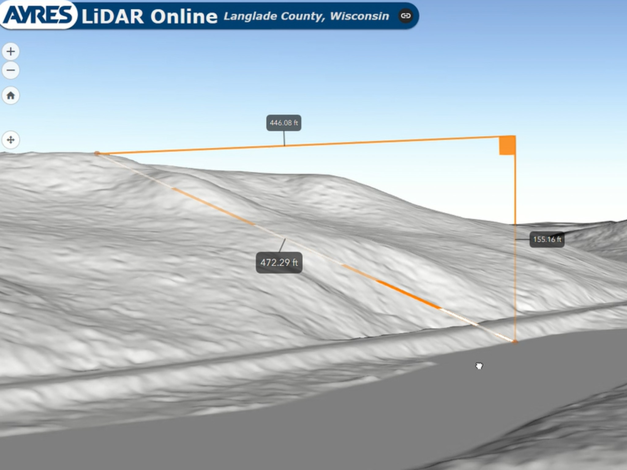
Portage County uses lidar to support public and private sector projects. To make this data more accessible, we developed Ayres Lidar Online, a cloud platform allowing users to view and analyze data through a standard web browser. Users can measure features, create terrain profiles, and evaluate conditions for planning, infrastructure, and environmental projects. Making complex datasets accessible helps stakeholders make informed decisions.
Project Highlights
- Web-Based Lidar Application
- No Software, Licenses or Logins Required
- Works on Computers, Tablets & Smartphones
- Enables Terrain Analysis & Feature Measurements
- Supports Infrastructure & Environmental Planning
- Improved Access to Lidar Data
Services Provided
- Aerial Mapping
- GIS Consulting
- Federal Grant Assistance
- Land Surveying
Markets:
Next: Toyota Battery Manufacturing Facility
Market
Industrial + Manufacturing
Client
Toyota Motor NA
Location
Greensboro, NC
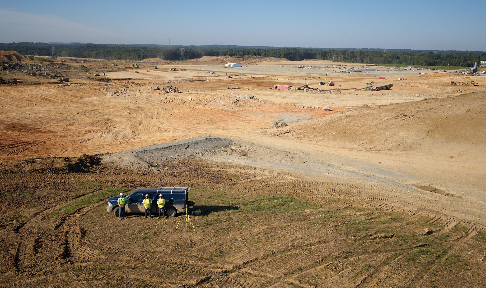
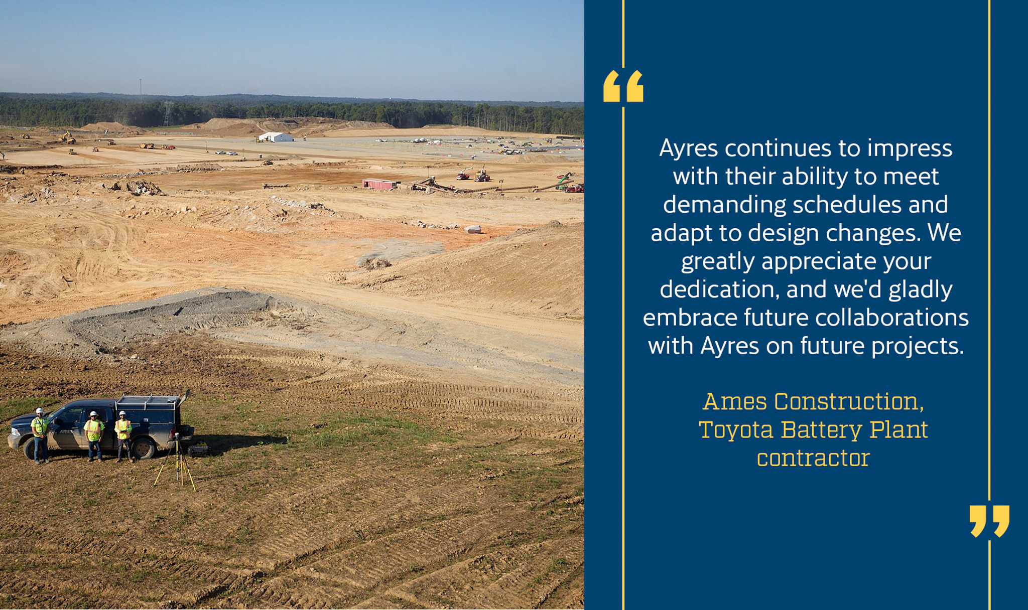
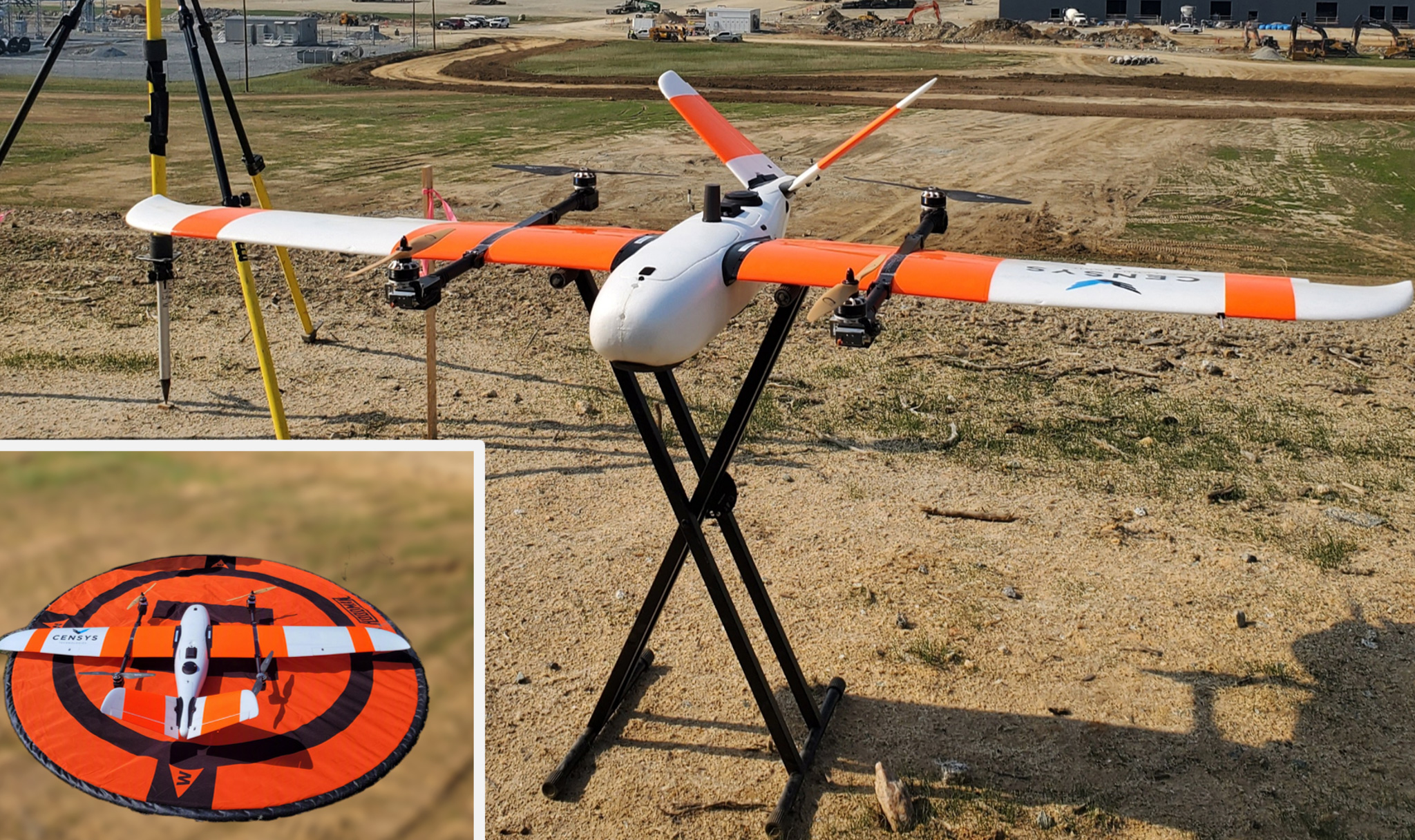
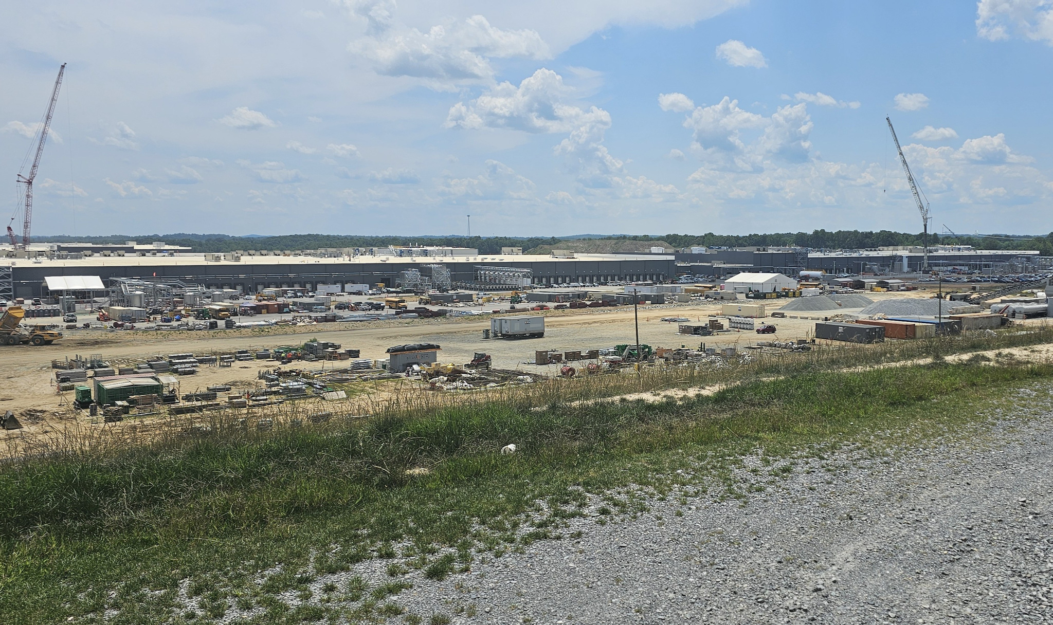
Ayres provided construction staking, surveying, and UAS mapping for the Toyota Battery Plant (a k a Greensboro-Randolph Megasite). The project required coordination across a large, active construction site. Ayres performed daily construction staking and weekly drone flights to collect high-resolution imagery and support topographic mapping. Using rotary- and fixed-wing drones, the team delivered aerial data to contractors within hours of each flight.
Project Highlights
- Staking on 1,825-Acre Site
- Recognized by Client for Responsiveness & Adaptability
- Daily Surveying & Layout Support
- Weekly UAS/Drone Mapping & Data Collection
- Rapid Aerial Imagery Delivery
- Advanced Rotary- and Fixed-Wing Drone Operations
- Coordination Across Multiple Contractors
Services Provided
- Land Surveying
- Unmanned Aerial Systems
- Aerial Mapping
Markets:
Next: USGS 3DEP Program
Market
Local Government
Client
Dane County
Location
Dane County, WI
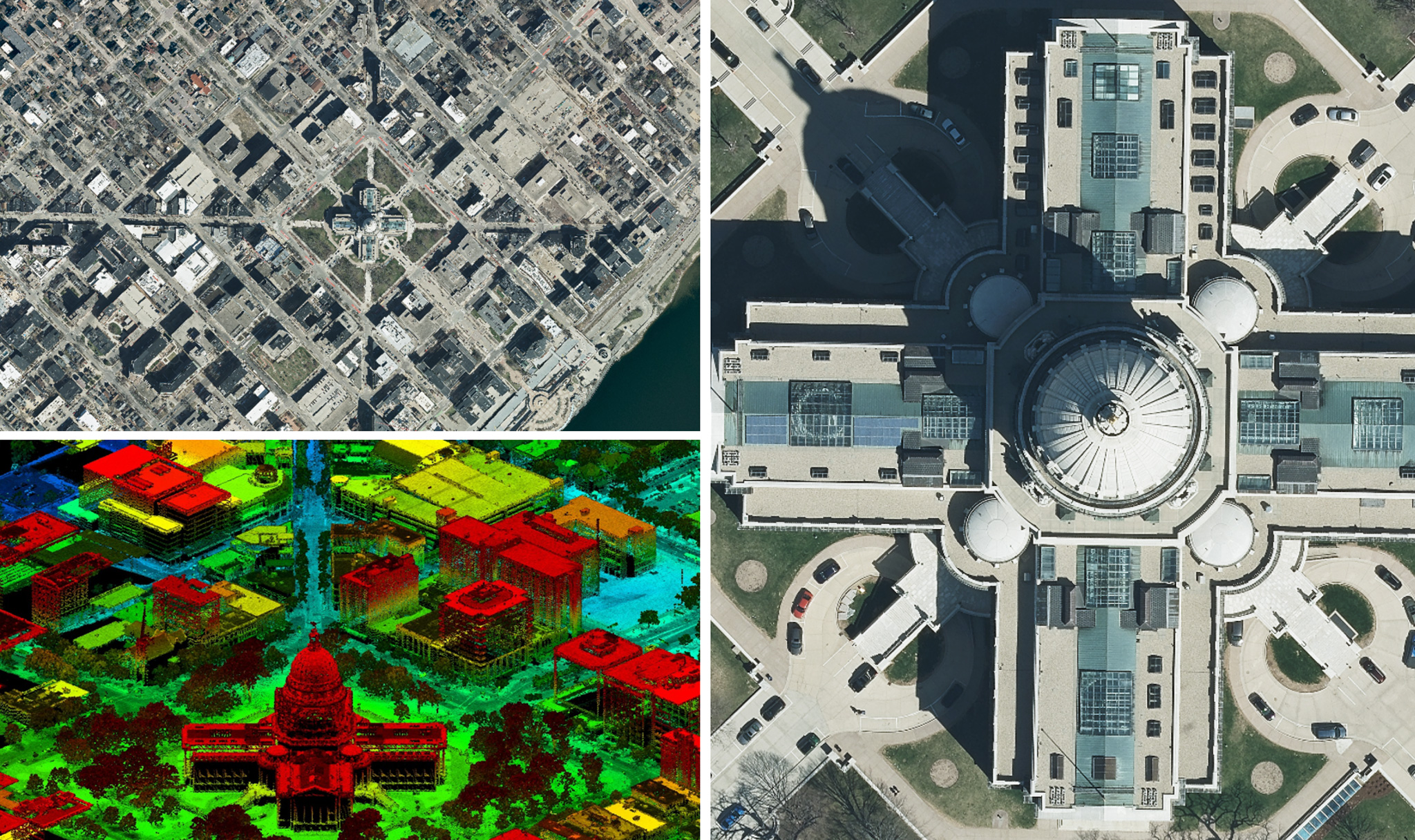
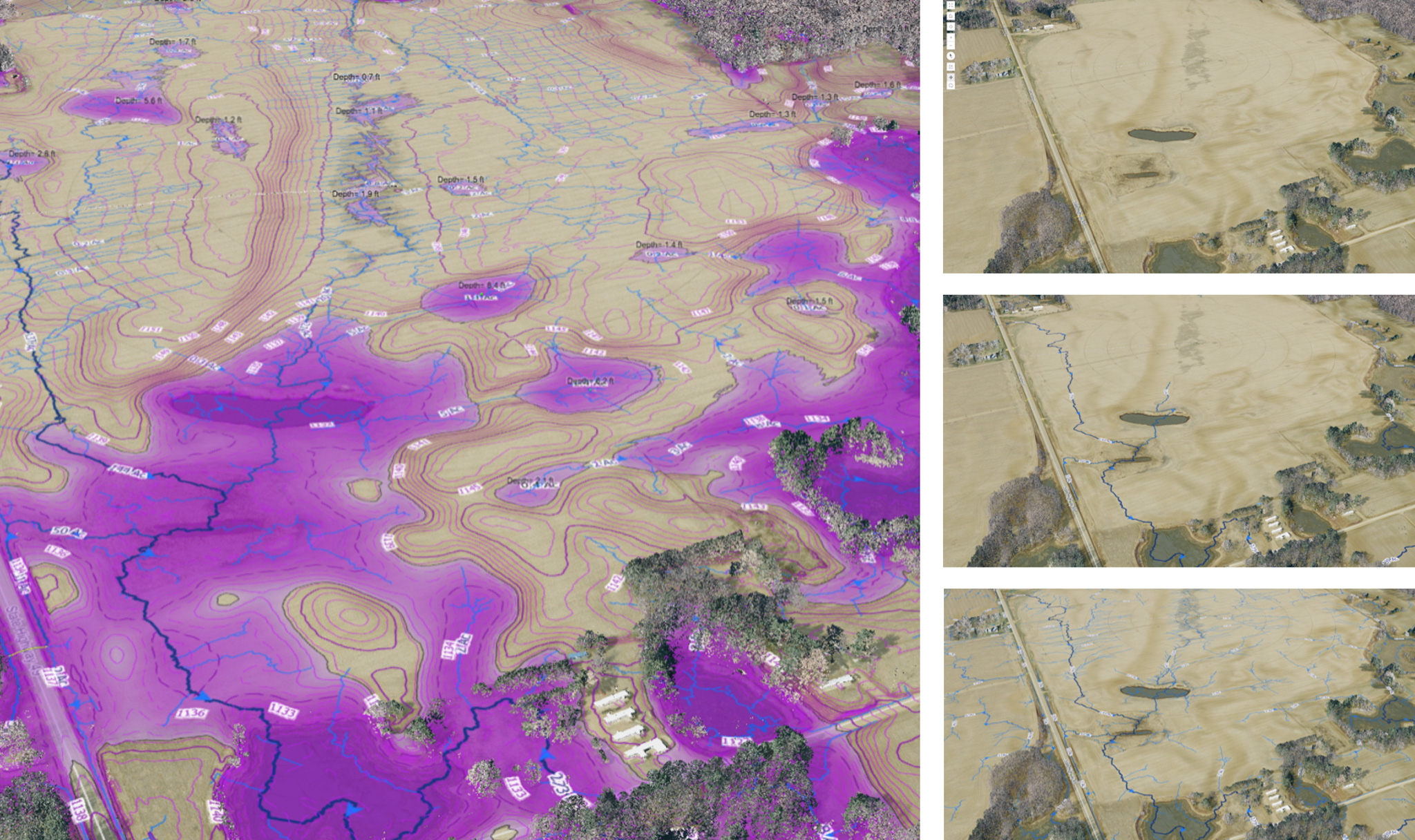
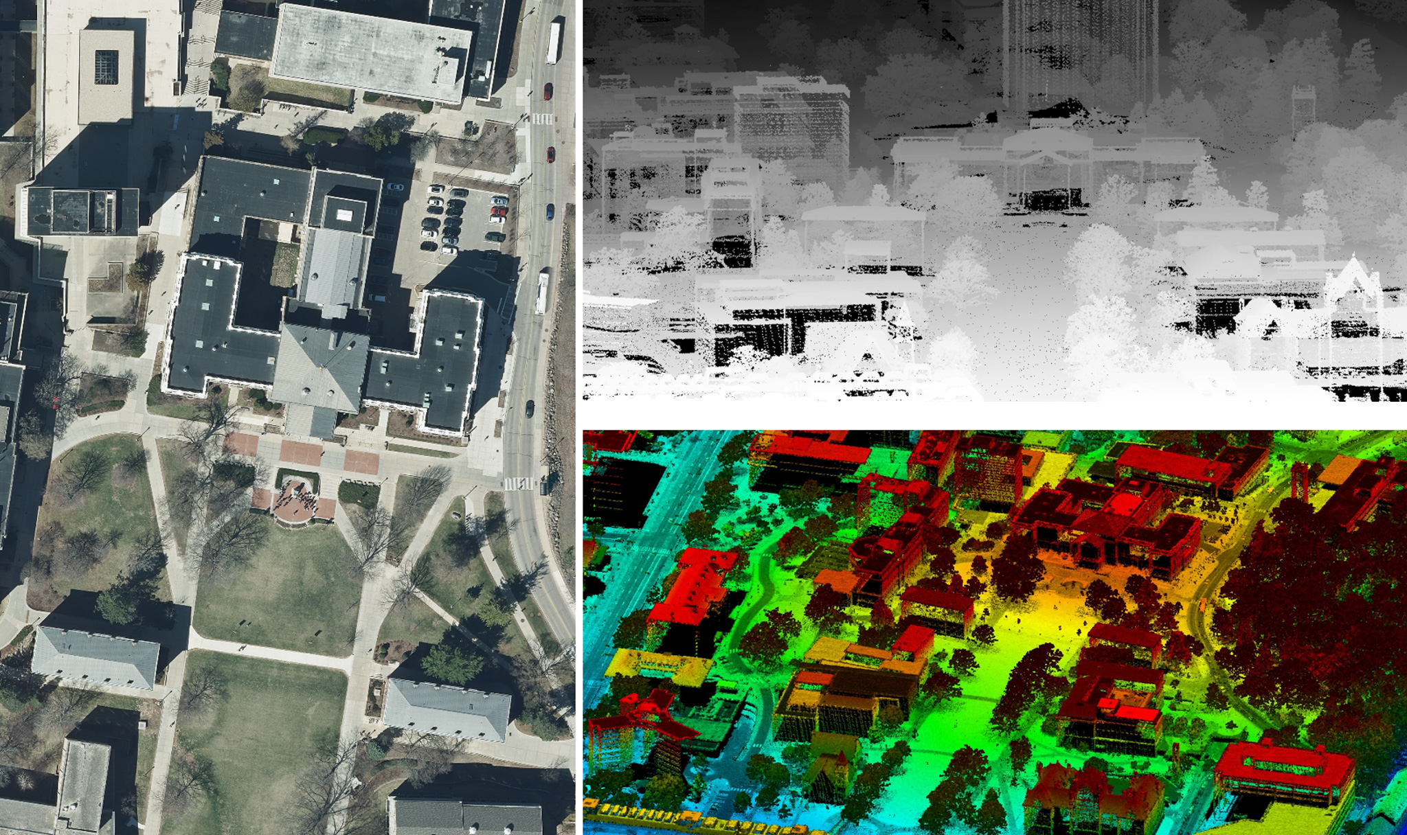
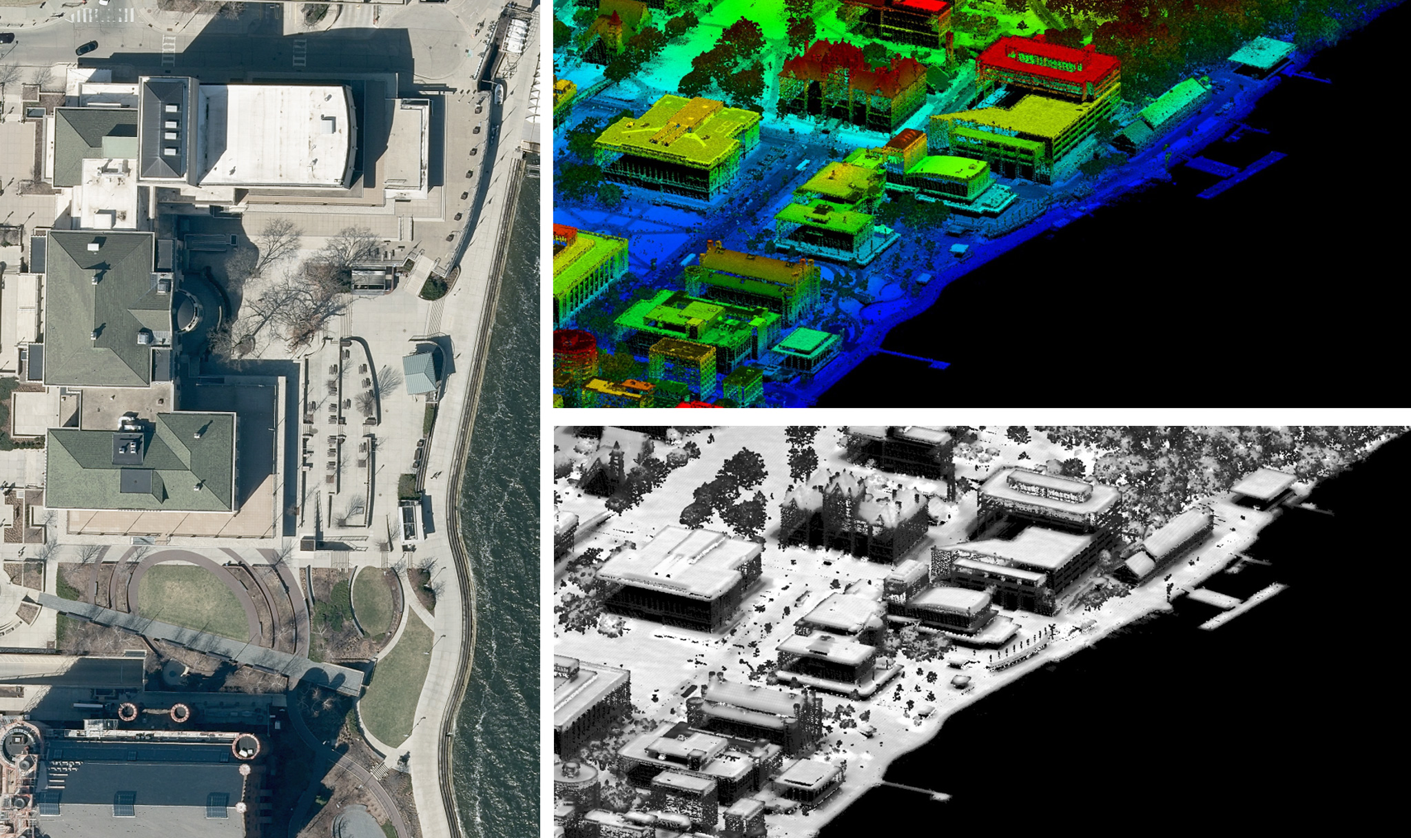
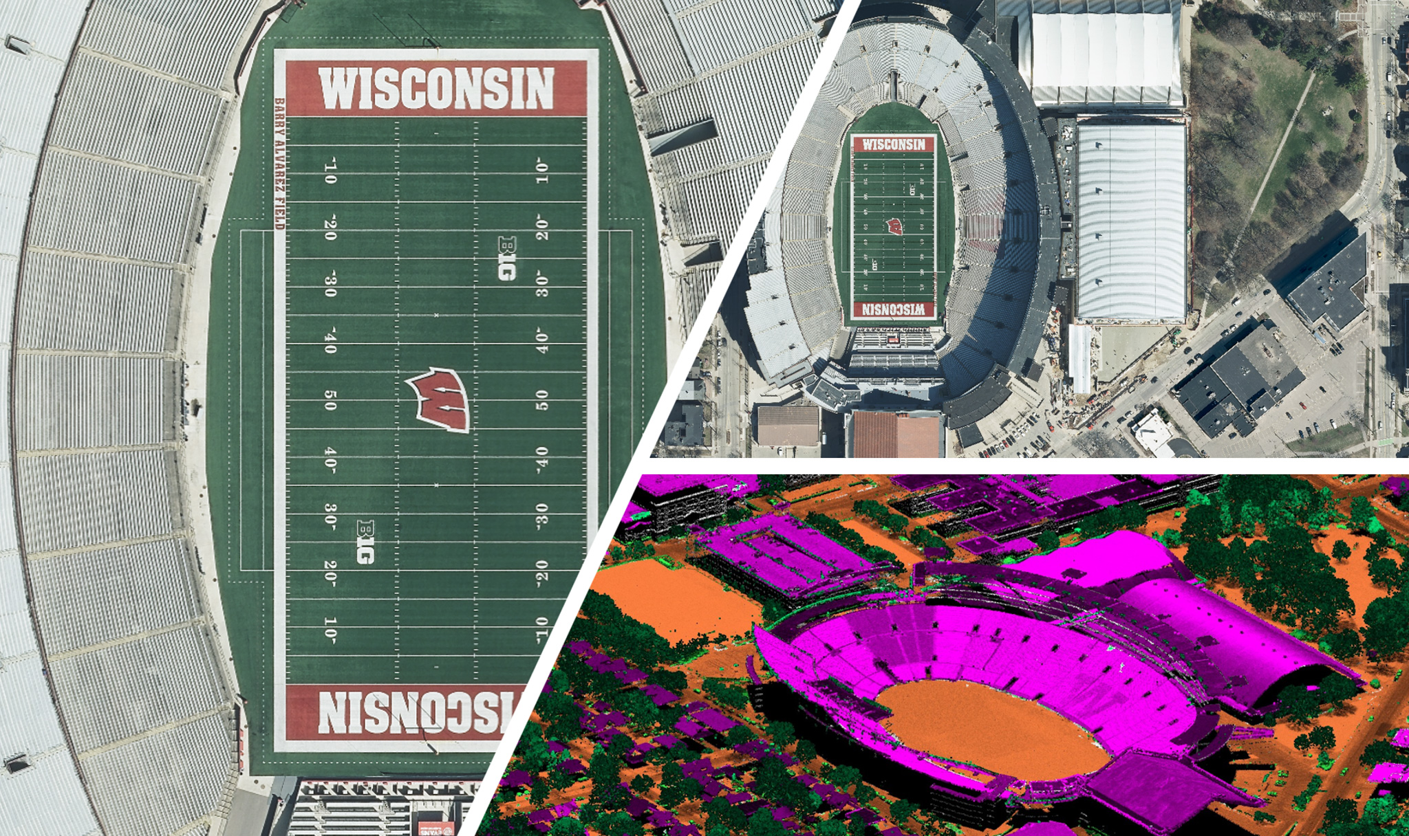
Ayres has supported high-accuracy lidar mapping projects throughout Wisconsin since the early 2000s, including multiple efforts for Dane County. In 2024 Ayres helped a group of counties secure federal 3D Elevation Program funding and additional grant funding for QL1 lidar acquisition. In Dane County, lidar mapping was developed through the Fly Dane Partnership, a collaboration among local, state, and private organizations that reduces costs.
Project Highlights
- High Accuracy Lidar Mapping
- Secured 3DEP & QL1 Lidar Funding
- Supported Regional Grant Applications
- Partnered Through Fly Dane Partnership
- Reduced Costs Through Shared Resources
- Delivered Countywide Topographic Data
Services Provided
- Aerial Mapping
- GIS Consulting
- Federal Grant Assistance
- Land Surveying
Markets:
Next: Moriah Energy Center
Not only is this a great tool, but there's an element of fun to it. There are certain things you look at and go ‘Oh my gosh. This is really amazing.'
Joe Martell, GIS coordinator/land information officer, Langlade County, referring to Ayres Lidar Online tool
For us, the biggest benefit is that it's been kind of a one-stop shop to be able to get all this data. In the past we would've had to contact all of those counties individually. We've done that with some other data types, and it becomes a real nightmare because each county can have the data in a slightly different format. Joining WROC has made it a lot simpler to go to one source to get all that data. It's a big time-saver.
Scott Hand, Wisconsin Public Service
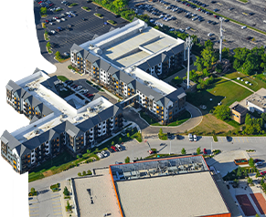
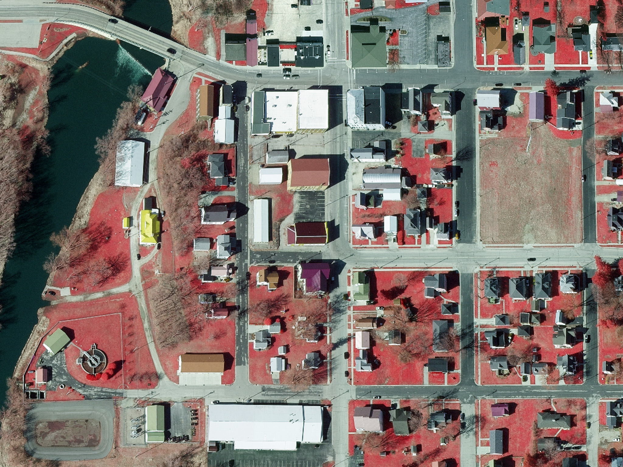
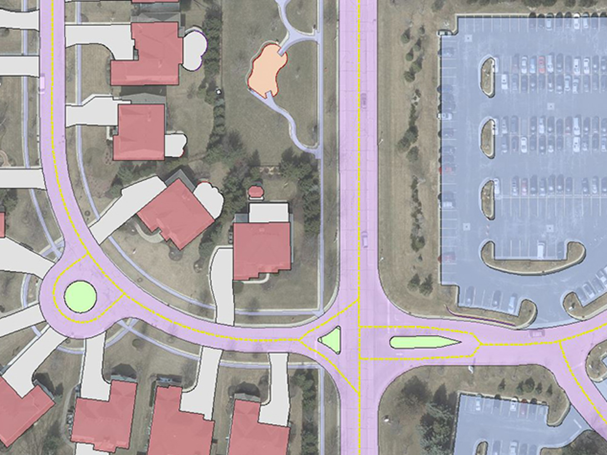
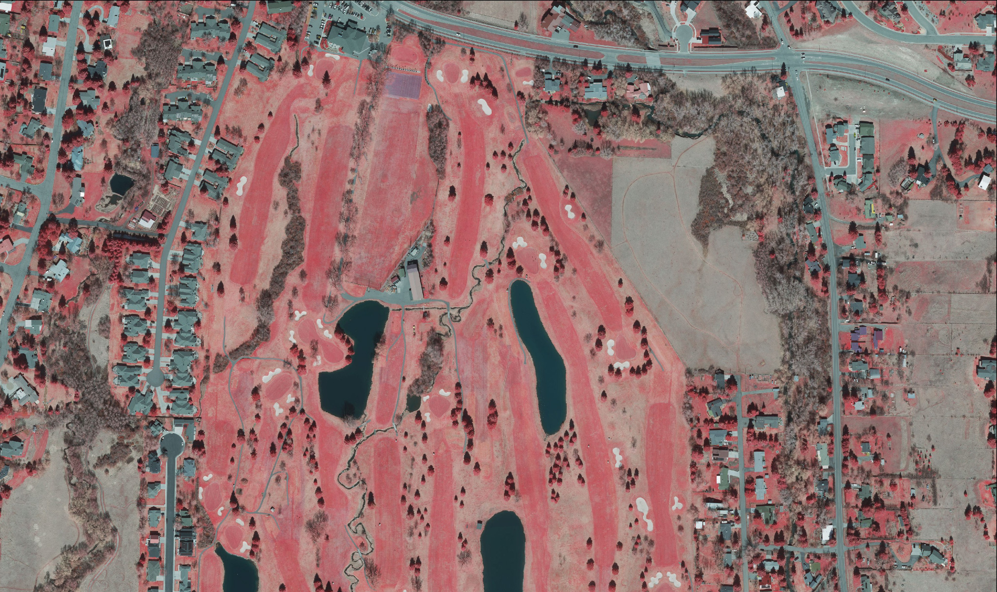
Professionally collected, highly detailed aerial imagery can be used for a broad range of engineering and environmental applications, capturing natural color and infrared (IR) bands. The IR band is well-suited for mapping tree canopies, locating invasive plant species, and capturing aquatic vegetation. That imagery can be delivered as large- and small-scale orthoimagery in panchromatic, color, and color infrared, with ground resolutions as detailed as 2 inches. Imagery can also be used for high-accuracy photogrammetric map compilation of topography and planimetric features. Detailed planimetrics (such as buildings, roads, utilities, hydrography, and impervious surfaces) can be collected in conjunction with digital terrain models and contours for a myriad of engineering applications for departments of transportation (DOTs), municipalities, and utility companies.
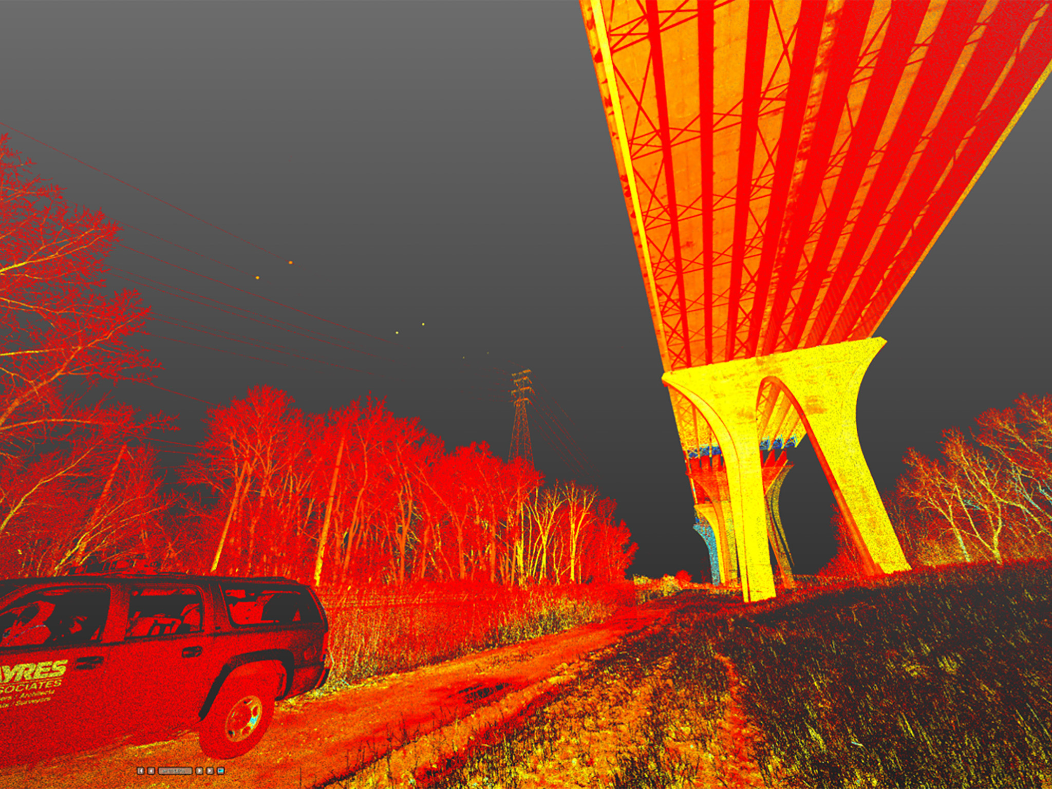
Lidar (light detection and ranging) is a remote-sensing technology that produces surface models from measured laser pulses emitted from a helicopter or fixed-wing aircraft to capture each point’s precise location laterally and in terms of elevation. The data captured from these sensors supports high-accuracy digital terrain models and extraction of detailed planimetric information. Ayres applies these systems to a range of applications, including electrical transmission and distribution, floodplain and stormwater management, municipal mapping, transportation design, and forest canopy analytics.
Tripod-based terrestrial HD lidar scanning is suitable for generating as-built surveys for electrical transmission and distribution, modeling of conductor crossings, substation mapping, building infrastructure, and industrial asset management.
A multidisciplinary engineering firm such as Ayres is best at understanding how GIS applications can streamline the use of transportation, utility, and municipal engineering information because such a firm has used the resulting mapping products in its design work. Ayres’ staff has experience in many GIS and CAD platforms, including ESRI ArcGIS, MicroStation, Intergraph, and AutoCAD. We also offer expertise in developing interactive and static exhibits along with expert testimony for GIS-based analysis.
Integrated GPS and depth sounding equipment is used to collect data from boats to complete a hydrographic survey. Combined with our variety of watercraft, this equipment allows a consultant to map the shallowest of waterways. Hydrographic data is integrated with photogrammetric mapping for seamless topographic maps. Ayres has provided hydrographic surveying services in California, Colorado, Idaho, Florida, Georgia, South Carolina, and Wisconsin.
Ingenuity, Integrity, and Intelligence.


