Libertyville GISC Mapping 2019
« Return to Project Search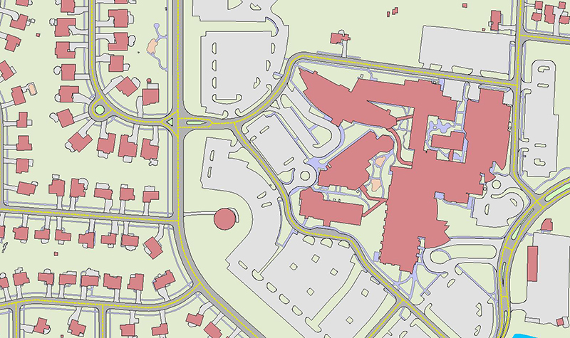
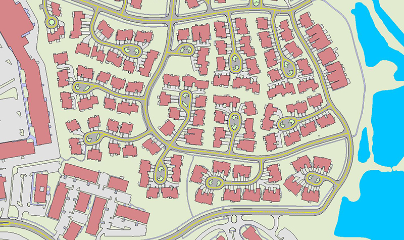


This project involved acquiring Village-wide color aerial imagery, preparing an analytical aerotriangulation solution, and providing 1″= 50′ scale mapping for the block of 2019 aerial imagery. The 1″ = 50′ planimetric mapping included a GIS deliverable of all planimetric features and impervious area polygons, which will be used by the Village of Libertyville to complete the percent impervious calculations to support a pending stormwater utility feasibility and rate analysis.
Project Information
Client's NameVillage of Libertyville
LocationLibertyville, IL
Primary ServiceGeospatial
MarketLocal Government


